Old Pasadena in Los Angeles County, California — The American West (Pacific Coastal)
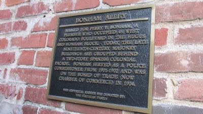
Bonham Alley
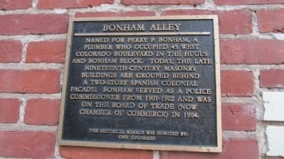
Photographed by Denise Boose, January 4, 2014
1. Bonham Alley Marker
Erected by One Colorado.
Topics. This historical marker is listed in this topic list: Notable Places. A significant historical year for this entry is 1904.
Location. 34° 8.789′ N, 118° 9.13′ W. Marker is in Pasadena, California, in Los Angeles County. It is in Old Pasadena. It is at the intersection of Bonham Alley and North De Lacey Avenue, on the right when traveling east on Bonham Alley. Touch for map. Marker is at or near this postal address: 33 Miller Alley, Pasadena CA 91103, United States of America. Touch for directions.

Regionally, this marker is in Greater Los Angeles and in the Transverse Ranges. It is also on the American Pacific Coast. Globally, it is in North America, on the Ring of Fire, on the Pacific Rim, in the Western Hemisphere, in the Western World, and in
this page online
Other nearby markers. At least 8 other markers are within walking distance of this marker: Christensen Alley (within shouting distance of this marker); Hugus Alley (within shouting distance of this marker); First Salvation Army Meeting (within shouting distance of this marker); Miller Alley (within shouting distance of this marker); Mapping Prejudice in Pasadena (about 400 feet away, measured in a direct line); Exploring Pasadena's Past (about 400 feet away); Building Freeways, Dividing Communities (about 400 feet away); Fraser Alley (about 400 feet away). Touch for a list and map of all markers in Pasadena.
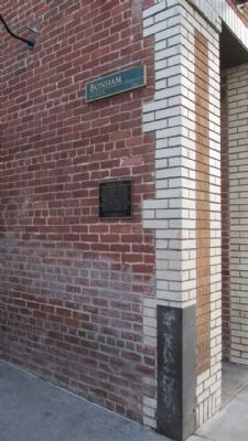
Photographed by Denise Boose, January 4, 2014
2. Bonham Alley Marker
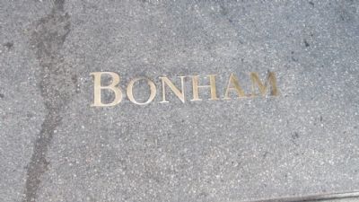
Photographed by Denise Boose, January 4, 2014
3. Bonham Alley Marker
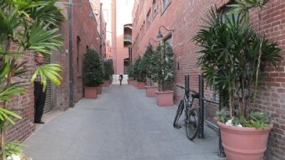
Photographed by Denise Boose, January 4, 2014
4. Bonham Alley Marker
Photographed by Denise Boose, January 4, 2014
5. Bonham Alley Marker
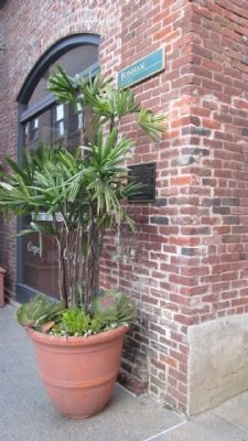
This is a second marker at the other end of the alley way.
Photographed by Denise Boose, January 4, 2014
6. Bonham Alley Marker
Photographed by Denise Boose, January 4, 2014
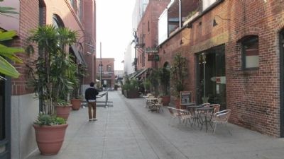
7. Bonham Alley Marker
Credits. This page was last revised on January 30, 2023. It was originally submitted on March 31, 2014. This page has been viewed 906 times since then and 50 times this year. Last updated on June 26, 2020, by Craig Baker of Sylmar, California. Photos: 1, 2, 3, 4, 5, 6, 7. submitted on March 31, 2014, by Denise Boose of Tehachapi, California. • J. Makali Bruton was the editor who published this page.
