Spring Lake in Lamb County, Texas — The American South (West South Central)
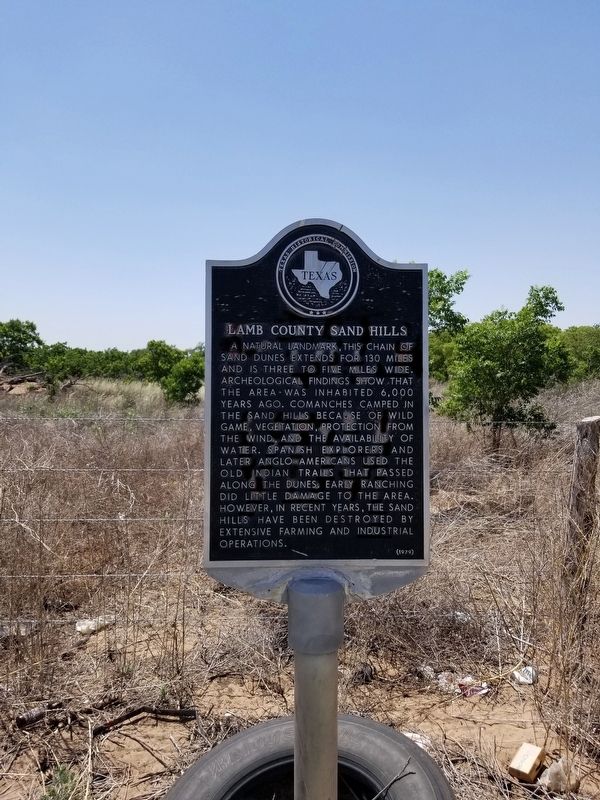
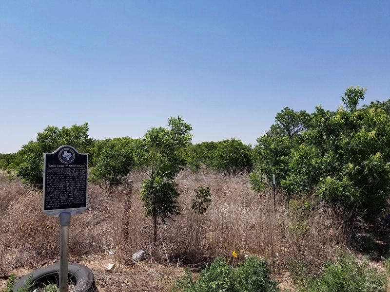
Lamb County Sand Hills
A natural landmark, this chain of sand dunes extends for 130 miles and is three to five miles wide. Archeological findings show that the area was inhabited 6,000 years ago. Comanches camped in the sand hills because of wild game, vegetation, protection from the wind, and the availability of water. Spanish explorers and later Anglo-Americans used the old Indian trails that passed along the dunes. Early ranching did little damage to the area. However, in recent years, the sand hills have been destroyed by extensive farming and industrial operations.
Erected 1979 by Texas Historical Commission. (Marker Number 3019.)
Topics. This historical marker is listed in these topic lists: Native Americans • Settlements & Settlers.
Location. 34° 8.315′ N, 102° 18.679′ W. Marker is in Spring Lake, Texas, in Lamb County. Marker is on U.S. Highway 385. Touch for map. Marker is in this post office area: Springlake TX 79082, United States of America. Touch for directions.
Other nearby markers. At least 8 other markers are within 10 miles of this marker, measured as the crow flies. Rocky Ford Crossing and Community (approx. 4.1 miles away); Sod House Spring (approx. 5.9 miles away); Earth (approx. 8.6 miles away); Quanah Parker Trail (approx. 8.6 miles away); Springlake-Earth School (approx. 8.9 miles away); One of the Trails of Col. Ranald S. MacKenzie (approx. 9.2 miles away); Springlake Cemetery (approx. 9.9 miles away); First Baptist Church of Olton (approx. 10 miles away).
Credits. This page was last revised on June 26, 2020. It was originally submitted on June 26, 2020, by Allen Lowrey of Amarillo, Texas. This page has been viewed 590 times since then and 103 times this year. Photos: 1, 2. submitted on June 26, 2020, by Allen Lowrey of Amarillo, Texas. • J. Makali Bruton was the editor who published this page.

