Newport in Cocke County, Tennessee — The American South (East South Central)
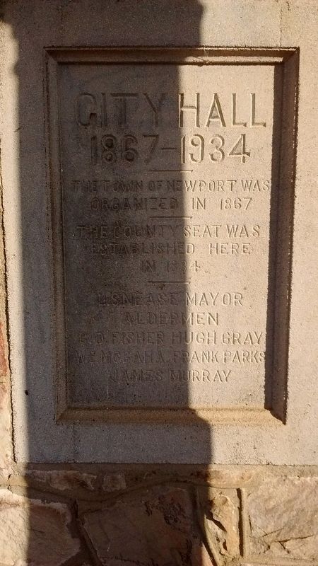
City Hall
1867-1934
Photographed by Tom Bosse, November 16, 2018
1. City Hall Marker
The county seat was established here in 1884.
L. Snease, Mayor
Aldermen
C.D. Fisher
Hugh Gray
W.E. McGaha
Frank Parks
James Murray
Erected by Town of Newport, Tennessee.
Topics. This historical marker is listed in these topic lists: Government & Politics • Settlements & Settlers. A significant historical year for this entry is 1867.
Location. 35° 58.066′ N, 83° 11.082′ W. Marker is in Newport, Tennessee, in Cocke County. It is on East Main Street just east of McSween Avenue, on the right when traveling west. Touch for map. Marker is at or near this postal address: 330 E Main St, Newport TN 37821, United States of America. Touch for directions.

Regionally, this marker is in East Tennessee and in the Great Smoky Mountains. It is also in the American South, specifically in the Upper South, in Appalachia, and specifically in Southern Appalachia. Globally, it is in North America, the Western Hemisphere, the Western World, and the Anglosphere. Historically, it finds itself in what was once the original Cherokee Nation, the territory of the Mississippian Culture, one of the Confederate States of America, the State of Franklin, and the Antebellum South.
Other nearby markers. At least 8 other markers are within walking distance of this marker: Cocke County Organized - 1797 (within shouting distance of this marker); Cocke County Veterans Monument (about 300 feet away, measured in a direct line); Cocke County War Memorial (about 400 feet away); Kiffin Yates Rockwell (approx. 0.2 miles away); The Warford (approx. ¼ mile away); Swinging Bridge (approx. ¼ mile away); The Cross (approx. ¼ mile away); Newport Grammar School (approx. 0.3 miles away). Touch for a list and map of all markers in Newport.
Another marker is no longer nearby.
this page online
Photographed by Tom Bosse, November 16, 2018
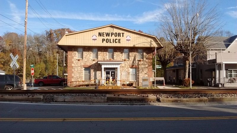
2. City Hall Marker
Photographed by Mark Parker, November 25, 2024
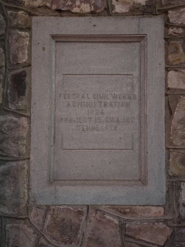
3. City Hall construction marker
Federal Civil Works
Administration
1934
Project 15-CWA-100
Tennessee
Photographed by Mark Parker, November 25, 2024
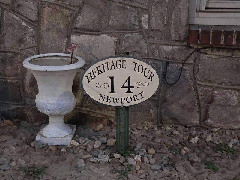
4. Newport City Hall is a part of the city's Heritage Tour (stop 14)
Credits. This page was last revised on November 27, 2024. It was originally submitted on June 28, 2020, by Tom Bosse of Jefferson City, Tennessee. This page has been viewed 509 times since then and 21 times this year. Photos: 1, 2. submitted on June 28, 2020, by Tom Bosse of Jefferson City, Tennessee. 3, 4. submitted on November 26, 2024, by Mark Parker of Hickory, North Carolina. • Devry Becker Jones was the editor who published this page.
