Near Gorman in Los Angeles County, California — The American West (Pacific Coastal)
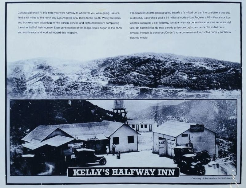
Kelly’s Halfway Inn
Congratulations!!! At this stop you were halfway to wherever you were going. Bakersfield is 64 miles to the north and Los Angeles is 62 miles to the south. Weary travelers and truckers took advantage of the garage service and restaurant before completing the other half of the journey. Even construction of the Ridge Route began at the north and south ends and worked toward this midpoint.
Courtesy of the Harrison Scott Collection.
Erected 1997 by California 4×4 Club; Boy Scout Troop 583 (Castaic); and Ridge Route Preservation Organization.
Topics. This historical marker is listed in these topic lists: Industry & Commerce • Roads & Vehicles. A significant historical year for this entry is 1915.
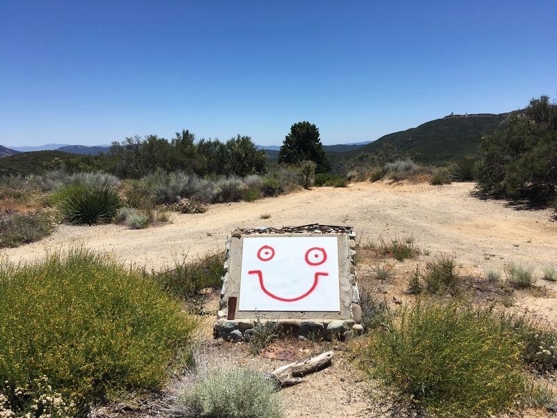
Location. 34° 41.002′ N, 118° 43.795′ W. Marker has been reported unreadable. Marker is near Gorman, California, in Los Angeles County. Marker is on Ridge Route Road, 9 miles south of Highway 138, on the left when traveling south. Located 2½ miles south of a locked gate. Touch for map. Marker is in this post office area: Lebec CA 93243, United States of America. Touch for directions.
Other nearby markers. At least 11 other markers are within 7 miles of this location, measured as the crow flies. Reservoir Summit (approx. 1.4 miles away); Tumble Inn (approx. 1.8 miles away); The “Ridge Route” (approx. 2.2 miles away); Castaic Powerplant (approx. 2.3 miles away); Liebre State Highway Camp (approx. 2.4 miles away); Swede’s Cut (approx. 2.9 miles away); Liebre Summit (approx. 3½ miles away); Sandberg’s Summit Hotel (approx. 4.1 miles away); The Old Ridge Route (approx. 4.3 miles away); National Forest Inn (approx. 4.9 miles away); Ridge Route Directory (approx. 6.3 miles away). Touch for a list and map of all markers in Gorman.
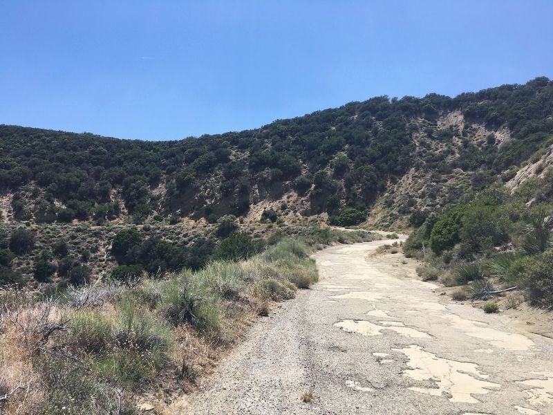
More about this marker. This part of the Ridge Route is currently closed to vehicles from 6½ miles south of Highway 138 at the north end, to 1½ miles north of Templin Highway at the south end. The 13-mile central portion remains closed to all motor vehicle traffic. Walking,
bicycling, and horseback riding are allowed. Efforts to re-open the road are ongoing, as are efforts to install new markers.
This road was added to the National Register of Historic Places in 1997.
Related marker. Click here for another marker that is related to this marker. — Ridge Route Directory
Also see . . . Ridge Route Preservation Organization. (Submitted on June 16, 2020.)
Credits. This page was last revised on January 30, 2023. It was originally submitted on June 16, 2020. This page has been viewed 890 times since then and 170 times this year. Last updated on June 29, 2020. Photos: 1, 2, 3. submitted on June 16, 2020, by Craig Baker of Sylmar, California. 4. submitted on June 17, 2020, by Craig Baker of Sylmar, California. • J. Makali Bruton was the editor who published this page.


