Fayetteville in Lincoln County, Tennessee — The American South (East South Central)
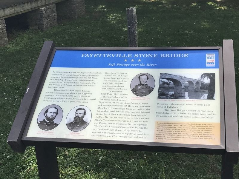
Fayetteville Stone Bridge
Safe Passage over the River
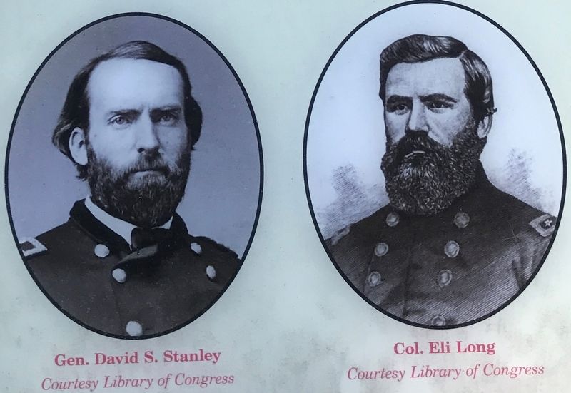
When the Civil War began, Lincoln County's residents overwhelmingly supported secession, and almost 5,000 men enlisted as Confederate soldiers. Union forces briefly occupied the town in April 1862. A year later, Union Gen. David S. Stanley ordered Col. Eli Long's troops here, and a garrison remained until the war's end, using the courthouse to shelter both soldiers and horses.
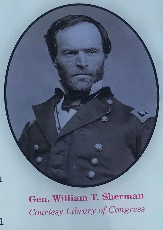
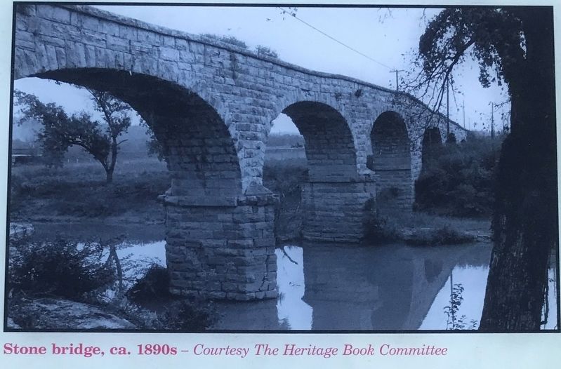
In November 1863, Union Gen. William T. Sherman's Army of the Tennessee moved through Fayetteville, where the Stone Bridge provided safe passage across the Elk River, en route from Memphis to Chattanooga. Sherman ordered the bridge destroyed, but the order was not followed. In the fall of 1864, Confederate Gen. Nathan Bedford Forrest led raids in north Alabama and Middle Tennessee to disrupt rail transportation and Federal communications. Forrest reported, "On the 28th I reached Fayetteville. During the day I ordered Capt. Boone, of my escort, to proceed with twenty men as rapidly as possible to the Nashville and Chattanooga Railroad and cut the same, with telegraph wires, at some point north of Tullahoma.”
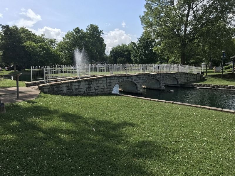
The Stone Bridge survived the war but a flood destroyed it in 1969. Its stones were used in the construction of this park’s pedestrian bridge.
(sidebar)
Despite the county's ardent support of the Confederacy, a few Unionist families resisted. John A. Hamilton, a Union supporter from Illinois with relatives in Lincoln County, wrote to military governor Andrew Johnson for help: “Sir: I wish hereby to lay before you the condition of my Union friends in Middle Tennessee. ... They live in Lincoln Co. ... There were many union men—mostly young men, who were in great trouble, the rebel officers having conscripted them & told them they would send a guard or company of armed men after them. Some talked of hiding, others of resisting."
(Captions)
Bottom left: Gen. David S. Stanley (left) and Col. Eli Long (right) Courtesy Library of Congress
Top middle: Gen. William T. Sherman Courtesy Library of Congress
Top right: Stone bridge, ca. 1890s Courtesy The Heritage Book Committee
Erected by Tennessee Civil War Trails.
Topics and series. This historical marker is listed in these topic lists: Bridges & Viaducts
• War, US Civil. In addition, it is included in the Former U.S. Presidents: #17 Andrew Johnson, and the Tennessee Civil War Trails series lists. A significant historical year for this entry is 1862.
Location. 35° 8.647′ N, 86° 34.107′ W. Marker is in Fayetteville, Tennessee, in Lincoln County. Marker is on Thornton Taylor Parkway (Bypass U.S. 64) west of Eufala Street, on the right when traveling west. Marker is at Stone Bridge Memorial Park. Touch for map. Marker is at or near this postal address: 2010 Thornton Taylor Parkway, Fayetteville TN 37334, United States of America. Touch for directions.
Other nearby markers. At least 8 other markers are within walking distance of this marker. Fayetteville Calaboose Door (a few steps from this marker); Trail of Tears Bell Removal Route (a few steps from this marker); Fayetteville Stone Bridge (Scale Replica) (within shouting distance of this marker); Cascade (about 300 feet away, measured in a direct line); Stone Arch Bridge (about 600 feet away); William Hall (approx. 0.2 miles away); David "Davy" Crockett (approx. 0.2 miles away); Camp Blount (approx. 0.2 miles away). Touch for a list and map of all markers in Fayetteville.
Credits. This page was last revised on June 30, 2020. It was originally submitted on June 29, 2020, by Duane and Tracy Marsteller of Murfreesboro, Tennessee. This page has been viewed 1,541 times since then and 322 times this year. Photos: 1, 2, 3, 4, 5. submitted on June 29, 2020, by Duane and Tracy Marsteller of Murfreesboro, Tennessee. • Bernard Fisher was the editor who published this page.
