Fayetteville in Lincoln County, Tennessee — The American South (East South Central)
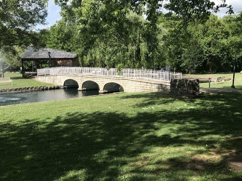
Fayetteville Stone Bridge (Scale Replica)
Inscription.
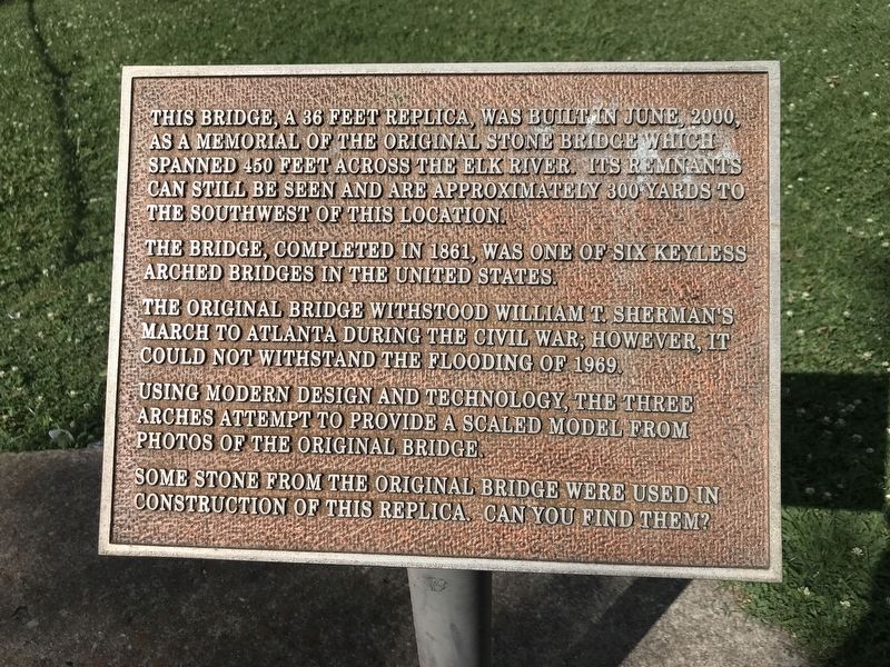
This bridge, a 36 feet replica, was built in June 2000 as a memorial of the original stone bridge which spanned 450 feet across the Elk River. Its remnants can still be seen and are approximately 300 yards to the southwest of this location.
The bridge, completed in 1861, was one of six keyless arched bridges in the United States.
The original bridge withstood William T. Sherman's March to Atlanta during the Civil War. However, it could not withstand the flooding of 1969.
Using modern design and technology, the three arches attempt to provide a scaled model from photos of the original bridge.
Some stone from the original bridge were used in construction of this replica. Can you find them?
Topics. This historical marker is listed in this topic list: Bridges & Viaducts. A significant historical month for this entry is June 2000.
Location. 35° 8.662′ N, 86° 34.119′ W. Marker is in Fayetteville, Tennessee, in Lincoln County. Marker can be reached from the intersection of Thornton Taylor Parkway (State Highway 10/15) and Eufala Street. Marker is in Stone Bridge Memorial Park. Touch for map. Marker is at or near this postal address: 2010 Thornton Taylor Parkway, Fayetteville TN 37334, United States of America. Touch for directions.
Other nearby markers. At least 8 other markers are within walking distance of this marker. Fayetteville Calaboose Door (a few steps from this marker); Fayetteville Stone Bridge (within shouting distance of this marker); Trail of Tears Bell Removal Route (within shouting distance of this marker); Cascade (within shouting distance of this marker); Stone Arch Bridge (about 600 feet away, measured in a direct line); William Hall (approx. 0.2 miles away); Camp Blount (approx. 0.2 miles away); David "Davy" Crockett (approx. 0.2 miles away). Touch for a list and map of all markers in Fayetteville.
Credits. This page was last revised on June 30, 2020. It was originally submitted on June 29, 2020, by Duane and Tracy Marsteller of Murfreesboro, Tennessee. This page has been viewed 290 times since then and 44 times this year. Photos: 1, 2. submitted on June 29, 2020, by Duane and Tracy Marsteller of Murfreesboro, Tennessee. • Devry Becker Jones was the editor who published this page.

