Fayetteville in Lincoln County, Tennessee — The American South (East South Central)
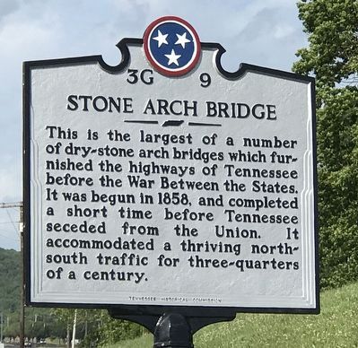
Stone Arch Bridge
Erected by Tennessee Historical Commission. (Marker Number 3G 9.)
Topics and series. This historical marker is listed in this topic list: Bridges & Viaducts. In addition, it is included in the Tennessee Historical Commission series list. A significant historical year for this entry is 1858.
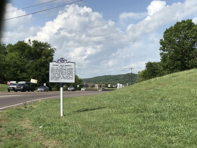
Location. 35° 8.575′ N, 86° 34.177′ W. Marker is in Fayetteville, Tennessee, in Lincoln County. Marker is at the intersection of Huntsville Highway (U.S. 431) and Thorton Taylor Parkway (Bypass U.S. 64), on the right when traveling north on Huntsville Highway. Touch for map. Marker is at or near this postal address: 1009 Huntsville Hwy, Fayetteville TN 37334, United States of America. Touch for directions.
Other nearby markers. At least 8 other markers are within walking distance of this marker. Trail of Tears Bell Removal Route (about 500 feet away, measured in a direct line); Fayetteville Stone Bridge (about 600 feet away); Fayetteville Calaboose Door (about 600 feet away); Fayetteville Stone Bridge (Scale Replica) (about 600 feet away); Camp Blount (about 700 feet away); Cascade (approx. 0.2 miles away); David "Davy" Crockett (approx. 0.2 miles away); Sam Houston (approx. 0.2 miles away). Touch for a list and map of all markers in Fayetteville.
Credits. This page was last revised on January 28, 2023. It was originally submitted on June 29, 2020, by Duane and Tracy Marsteller of Murfreesboro, Tennessee. This page has been viewed 346 times since then and 37 times this year. Photos: 1, 2. submitted on June 29, 2020, by Duane and Tracy Marsteller of Murfreesboro, Tennessee. 3. submitted on January 27, 2023, by Darren Jefferson Clay of Duluth, Georgia. • Devry Becker Jones was the editor who published this page.


