Mount Pleasant in Maury County, Tennessee — The American South (East South Central)
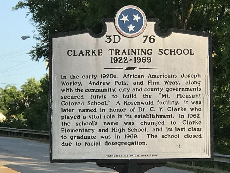
Clarke Training School
1922-1969
Erected by Tennessee Historical Commission. (Marker Number 3D 76.)
Topics and series. This historical marker is listed in these topic lists: African Americans • Education. In addition, it is included in the Rosenwald Schools, and the Tennessee Historical Commission series lists. A significant historical year for this entry is 1922.
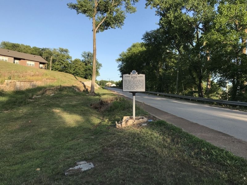
Location. 35° 31.928′ N, 87° 12.123′ W. Marker is in Mount Pleasant, Tennessee, in Maury County. Marker is at the intersection of Southport Road and Rainey Street, on the right when traveling west on Southport Road. Touch for map. Marker is at or near this postal address: 100 Rainey St, Mount Pleasant TN 38474, United States of America. Touch for directions.
Other nearby markers. At least 8 other markers are within 5 miles of this marker, measured as the crow flies. Mount Pleasant Commercial Historic District (approx. 0.3 miles away); The Bigby Greys (approx. 0.3 miles away); Mount Pleasant Confederate Memorial (approx. 0.3 miles away); Breckenridge Hatter's Shop (approx. 0.3 miles away); Highland Hall (approx. 0.4 miles away); Rattle and Snap Plantation (approx. 3½ miles away); St. John's Episcopal Church (approx. 4.6 miles away); Delaying Forrest (approx. 4.6 miles away). Touch for a list and map of all markers in Mount Pleasant.
Credits. This page was last revised on June 30, 2020. It was originally submitted on June 29, 2020, by Duane and Tracy Marsteller of Murfreesboro, Tennessee. This page has been viewed 554 times since then and 99 times this year. Photos: 1, 2. submitted on June 29, 2020, by Duane and Tracy Marsteller of Murfreesboro, Tennessee. • Devry Becker Jones was the editor who published this page.

