Near Lewisburg in Marshall County, Tennessee — The American South (East South Central)
Clay Hill United Methodist Church
Inscription.
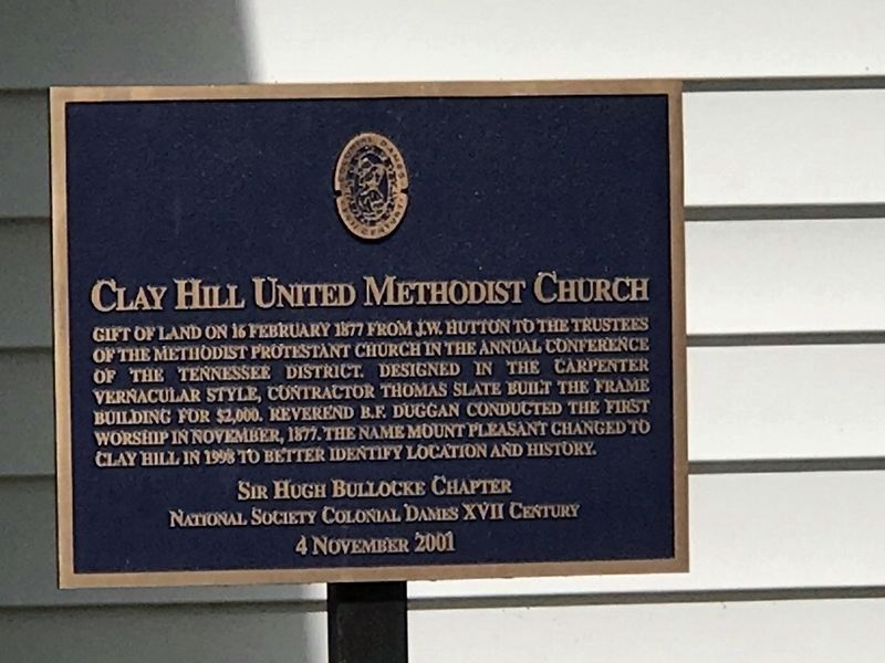
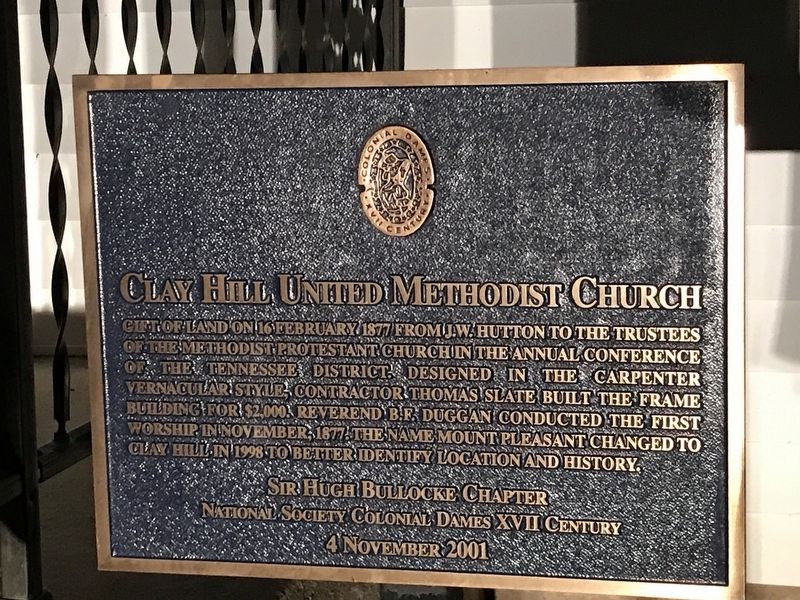
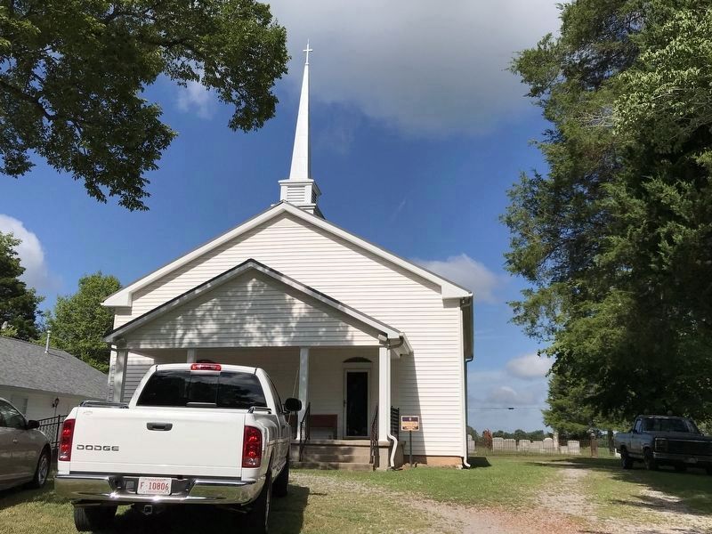
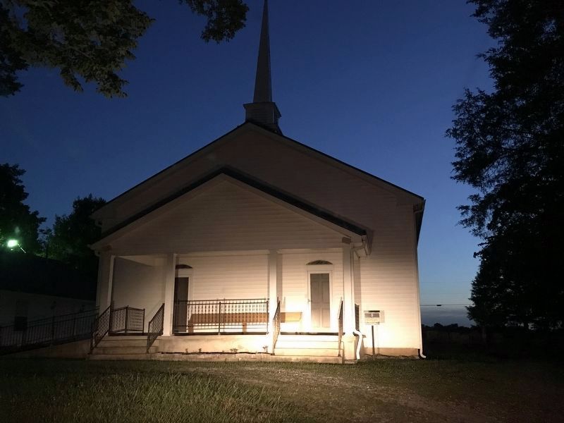
Gift of land on 16 February 1877 from J.W. Hutton to the trustees of the Methodist Protestant Church in the annual conference of the Tennessee district. Designed in the carpenter vernacular style, contractor Thomas Slate built the frame building for $2,000. Reverend B.F. Duggan conducted the first worship in November, 1877. The name Mount Pleasant changed to Clay Hill in 1998 to better identify location and history.
Erected 2001 by Sir Hugh Bullocke Chapter, National Society Colonial Dames XVII Century.
Topics and series. This historical marker is listed in these topic lists: Architecture • Churches & Religion. In addition, it is included in the The Colonial Dames of America, National Society of series list. A significant historical date for this entry is February 16, 1877.
Location. 35° 34.155′ N, 86° 40.469′ W. Marker is near Lewisburg, Tennessee, in Marshall County. Marker is at the intersection of Warner Road and Hopkins Bridge Road, on the right when traveling south on Warner Road. Touch for map. Marker is at or near this postal address: 3164 Warner Rd, Lewisburg TN 37091, United States of America. Touch for directions.
Other nearby markers. At least 8 other markers are within 7 miles of this marker, measured as the crow flies. Henry Hollis Horton (approx. 1.6 miles away); Isaac Rainey (approx. 2.1 miles away); Swaim House (approx. 4.2 miles away); Farmington Confederate Memorial (approx. 5.1 miles away); Farmington Engagement (approx. 5.1 miles away); Buford Ellington (approx. 6 miles away); Freeman's Battery (approx. 6.6 miles away); Forrest Boyhood Home (approx. 6.7 miles away). Touch for a list and map of all markers in Lewisburg.
Credits. This page was last revised on August 3, 2020. It was originally submitted on June 30, 2020, by Duane and Tracy Marsteller of Murfreesboro, Tennessee. This page has been viewed 195 times since then and 24 times this year. Photos: 1. submitted on August 3, 2020, by Duane and Tracy Marsteller of Murfreesboro, Tennessee. 2. submitted on June 30, 2020, by Duane and Tracy Marsteller of Murfreesboro, Tennessee. 3. submitted on August 3, 2020, by Duane and Tracy Marsteller of Murfreesboro, Tennessee. 4. submitted on June 30, 2020, by Duane and Tracy Marsteller of Murfreesboro, Tennessee. • Devry Becker Jones was the editor who published this page.


