Dover in Strafford County, New Hampshire — The American Northeast (New England)
Central Square
Photographed by Cosmos Mariner, July 9, 2019
1. Central Square Marker
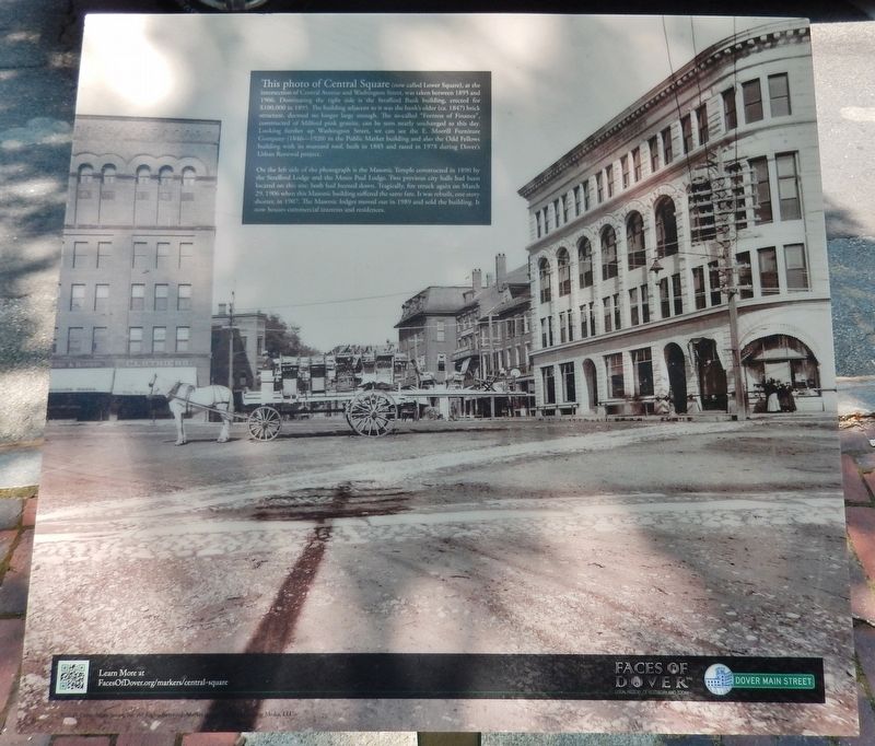
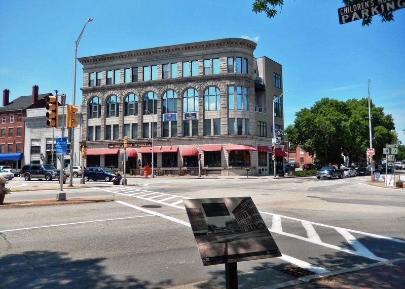
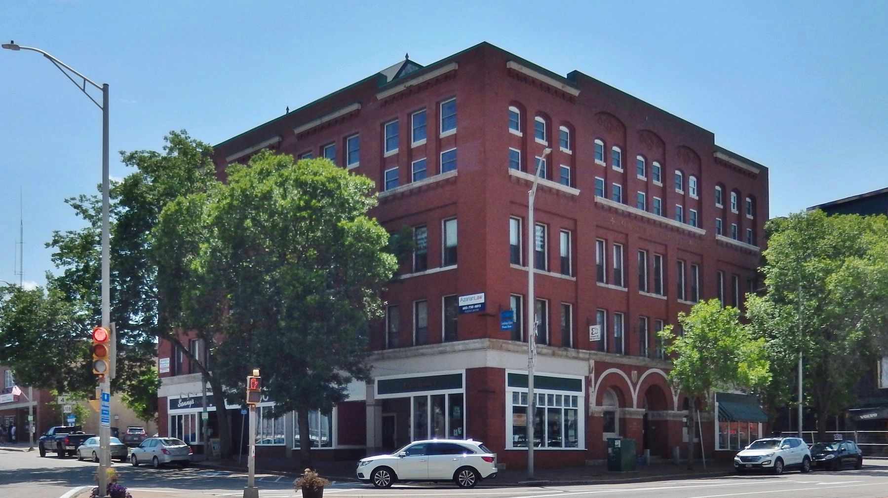
On the left side of the photograph is the Masonic Temple constructed in 1890 by the Strafford Lodge and the Moses Paul Lodge. Two previous city halls had been located on this site: both had burned down. Tragically, fire struck again on March 29, 1906 when this Masonic building suffered the same fate. It was rebuilt, one story shorter, in 1907. The Masonic lodges moved out in 1989 and sold the building. It now houses commercial
this page online
Erected 2015 by Faces of Dover, and Dover Main Street, Inc. (Marker Number 19.)
Topics. This historical marker is listed in these topic lists: Architecture • Fraternal or Sororal Organizations • Industry & Commerce.
Location. 43° 11.688′ N, 70° 52.472′ W. Marker is in Dover, New Hampshire, in Strafford County. It is at the intersection of Central Avenue (New Hampshire Route 9) and Washington Street ( Route 108), on the right when traveling north on Central Avenue. Marker is located along the sidewalk, near the southeast corner of the intersection. Touch for map. Marker is at or near this postal address: 333 Central Avenue, Dover NH 03820, United States of America. Touch for directions.

Regionally, this marker is on New Hampshire’s Seacoast. It is also in the American Northeast, in New England, and on the Eastern Seaboard. Globally, it is in the North Atlantic Region, North America, the Western Hemisphere, the Western World, and the Anglosphere. Historically, it finds itself in what was once one of the original Thirteen Colonies.
Photographed by Cosmos Mariner, July 9, 2019
2. Central Square Marker
Other nearby markers. At least 8 other markers are within walking distance of this marker: Dover NH WWII Memorial (within shouting distance of this marker); Central (Lower) Square (within shouting distance of this marker); Dover NH WWI Memorial (about 300 feet away, measured in a direct line); Spanish American War Memorial (about 400 feet away); Early 19th Century Storefronts (about 500 feet away); Dover's City Hall and Opera House Burned (about 500 feet away); Dover's Early Settlers (about 600 feet away); Dover's Black Day (about 700 feet away). Touch for a list and map of all markers in Dover.
Related markers. Click here for a list of markers that are related to this marker.
Also see . . . Views of Central Square, 1895 & 1900. (Submitted on July 2, 2020, by Cosmos Mariner of Cape Canaveral, Florida.)
Photographed by Cosmos Mariner, July 9, 2019
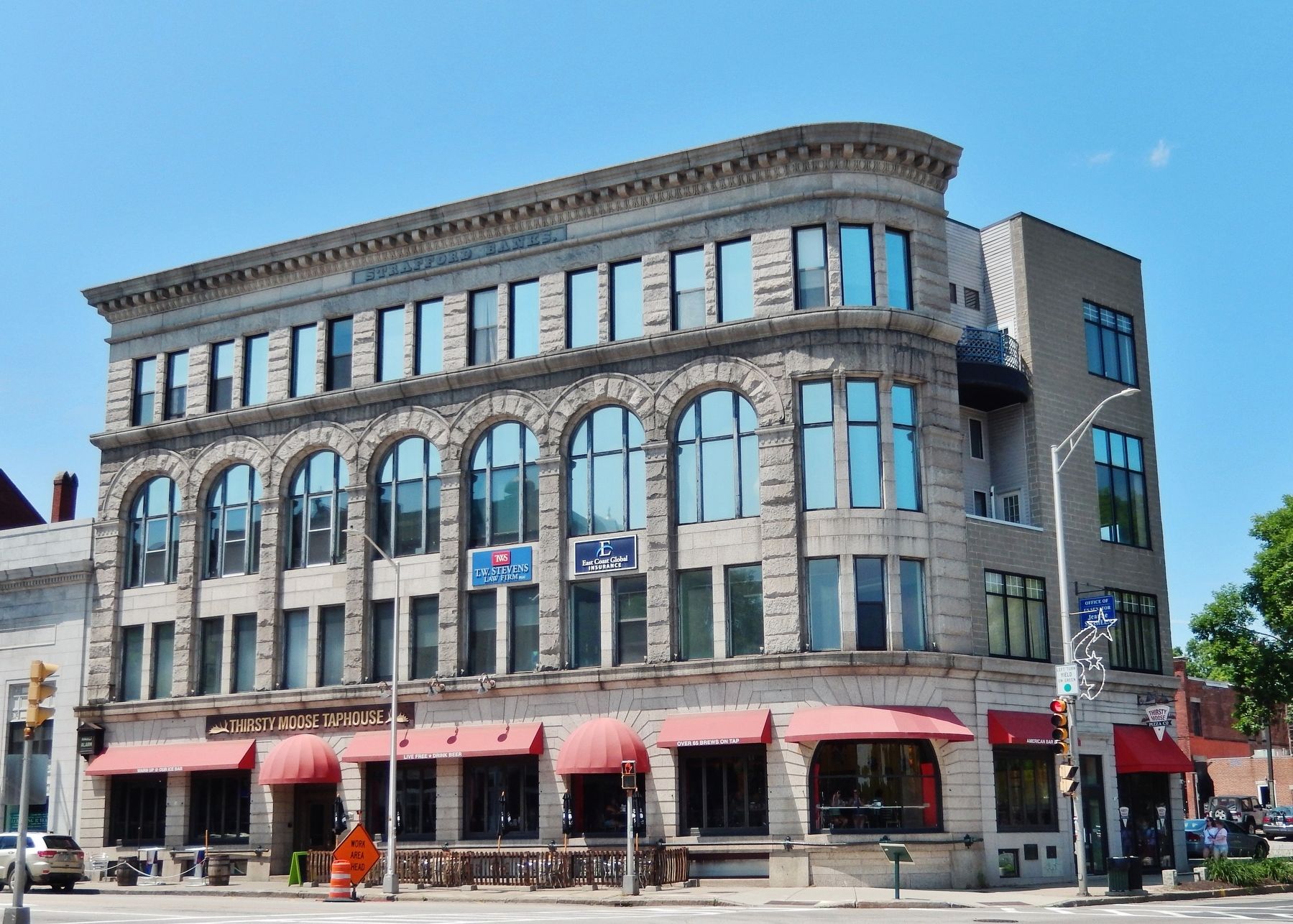
3. Strafford Banks Building
Photographed by Cosmos Mariner, July 9, 2019
4. Masonic Lodge
Credits. This page was last revised on July 5, 2020. It was originally submitted on July 2, 2020, by Cosmos Mariner of Cape Canaveral, Florida. This page has been viewed 407 times since then and 22 times this year. Photos: 1, 2, 3, 4. submitted on July 2, 2020, by Cosmos Mariner of Cape Canaveral, Florida.
