Guilford Township near Fayetteville in Franklin County, Pennsylvania — The American Northeast (Mid-Atlantic)
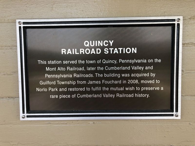
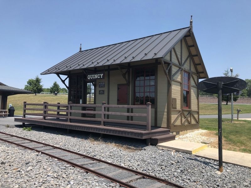
Quincy Railroad Station
Topics and series. This historical marker is listed in these topic lists: Notable Buildings • Railroads & Streetcars. In addition, it is included in the Pennsylvania Railroad (PRR) series list. A significant historical year for this entry is 2008.
Location. 39° 54.835′ N, 77° 34.482′ W. Marker is near Fayetteville, Pennsylvania, in Franklin County. It is in Guilford Township. It can be reached from Lincoln Way East (U.S. 30) 0.7 miles west of Dymond Avenue, on the left when traveling west. Touch for map. Marker is at or near this postal address: 3050 Lincoln Way E, Fayetteville PA 17222, United States of America. Touch for directions.

Regionally, this marker is in South-Central Pennsylvania. It is also in the American Northeast, in the Mid-Atlantic, in Appalachia, and specifically in
this page online
Other nearby markers. At least 8 other markers are within 3 miles of this marker, measured as the crow flies: Miner Station (a few steps from this marker); Pennsylvania Railroad Class N5C Cabin Car (about 500 feet away, measured in a direct line); Sollenberger Barn (about 500 feet away); Wayne L. Bowerman (about 600 feet away); Pleasures of Roadside Dining (approx. one mile away); Highway Enterprise (approx. one mile away); White Church Replica (approx. 2.6 miles away); Gettysburg Campaign (approx. 2.9 miles away). Touch for a list and map of all markers in Fayetteville.
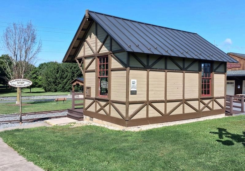
Photographed by William Fischer, Jr., July 29, 2026
3. Quincy Railroad Station
Credits. This page was last revised on August 20, 2026. It was originally submitted on July 4, 2020, by Devry Becker Jones of Washington, District of Columbia. This page has been viewed 535 times since then and 29 times this year. Photos: 1, 2. submitted on July 4, 2020, by Devry Becker Jones of Washington, District of Columbia. 3. submitted on August 20, 2026, by William Fischer, Jr. of Reynoldsburg, Ohio.
