Guilford Township near Fayetteville in Franklin County, Pennsylvania — The American Northeast (Mid-Atlantic)
Miner Station
Dedicated to the memory of John A. Miner
| — | Friend, Founder, Mentor | — |

John A. Miner — a life-long resident of Guilford Township — served in Germany during the Korean War with the US Army. John's avid interest in trains and railroading was evidenced by his membership in the Lionel Train Collectors Club of America and the Train Collector's Association.
Devoted to the ideals of the Lions organization, John was a member of the Greene Township Lions Club for more than 50 years, was awarded the coveted Melvin Jones Fellowship Award and, at the time of his death, was a member of the Penn National Lions Club which he was instrumental in founding.
Committed to serving the needs of the community, John was a Board Member of the Guilford Water Authority for 37 years. He also served on the Guilford Township (Sewer) Authority, the Board of Directors of the Penn State—Mount Alto and the Advisory Committee of the Franklin County Foundation.
Erected 2013 by Kate Miner and The Penn National Lions Club.
Topics. This historical marker is listed in these topic lists: Charity & Public Work • Education • Railroads & Streetcars.
Location. 39° 54.829′ N, 77° 34.492′ W.
this page online

Regionally, this marker is in South-Central Pennsylvania. It is also in the American Northeast, in the Mid-Atlantic, in Appalachia, and specifically in Northern Appalachia. Globally, it is in North America, the Western Hemisphere, the Western World, and the Anglosphere. Historically, it finds itself in what was once the Haudenosaunee (Iroquois) Confederacy and also one of the original Thirteen Colonies.
Other nearby markers. At least 8 other markers are within 3 miles of this marker, measured as the crow flies: Quincy Railroad Station (a few steps from this marker); Pennsylvania Railroad Class N5C Cabin Car (about 500 feet away, measured in a direct line); Sollenberger Barn (about 500 feet away); Wayne L. Bowerman (about 600 feet away); Pleasures of Roadside Dining (approx.
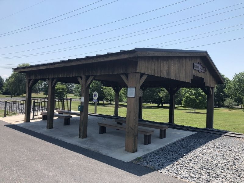
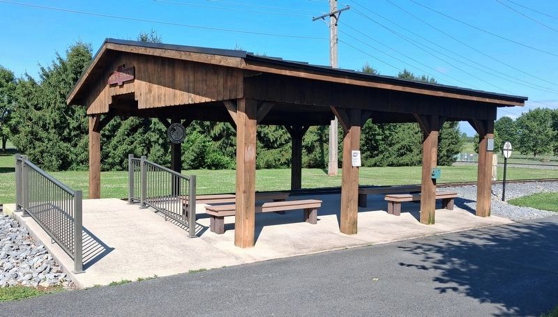
Photographed by William Fischer, Jr., July 29, 2026
3. Miner Station
Credits. This page was last revised on August 20, 2026. It was originally submitted on July 4, 2020, by Devry Becker Jones of Washington, District of Columbia. This page has been viewed 274 times since then and 28 times this year. Photos: 1, 2. submitted on July 4, 2020, by Devry Becker Jones of Washington, District of Columbia. 3. submitted on August 20, 2026, by William Fischer, Jr. of Reynoldsburg, Ohio.
