Brentsville in Prince William County, Virginia — The American South (Mid-Atlantic)
Tavern
Brentsville
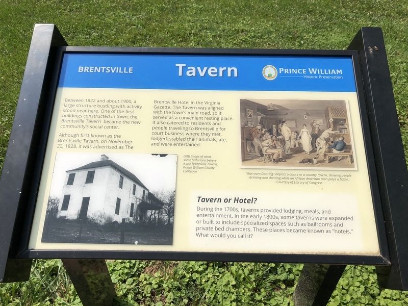
Between 1822 and about 1900, a large structure bustling with activity stood near here. One of the first buildings constructed in town, the Brentsville Tavern became the new community's social center.
Although known as the Brentsville Tavern, on November 22, 1828, it was advertised as the Brentsville Hotel in the Virginia Gazette. The Tavern was aligned with the town's main road, so it served as a convenient resting place. It also catered to residents and people traveling to Brentsville for court business where they met, lodged, stabled their animals, ate, and were entertained.
Tavern or Hotel?
During the 1700s, taverns provided lodging, meals, and entertainment. In the early 1800s, some taverns were expanded or built to include specialized spaces such as ballrooms and private bed chambers. These places became known as "hotels." What would you call it?
Erected by Prince William Historic Preservation.
Topics. This historical marker is listed in these topic lists: Industry & Commerce • Notable Buildings. A significant historical date for this entry is November 22, 1828.
Location. 38° 41.396′ N, 77° 30.065′ W. Marker is
this page online

Regionally, this marker is in the Washington Metropolitan Area, in Northern Virginia, and in the Piedmont. It is also in the American South, specifically in the Upper South, in the Mid-Atlantic, and on the Eastern Seaboard. Globally, it is in the North Atlantic Region, North America, the Western Hemisphere, the Western World, and the Anglosphere. Historically, it finds itself in what was once the territory of the Mississippian Culture, one of the original Thirteen Colonies, one of the Confederate States of America, and the Antebellum South.
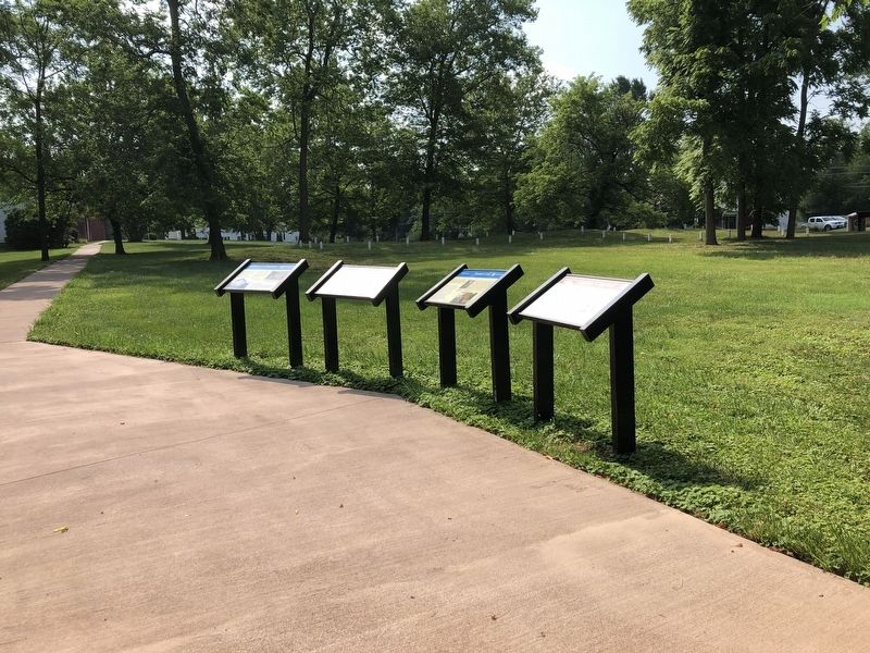
Other nearby markers. At least 8 other markers are within walking distance of this marker: Tavern Archaeology (here, next to this marker); Tavern Lot (here, next to this marker); Union Church (here, next to this marker); 1822 Tavern Site (a few steps from this marker); Outbuildings
Credits. This page was last revised on July 5, 2020. It was originally submitted on July 5, 2020, by Devry Becker Jones of Washington, District of Columbia. This page has been viewed 281 times since then and 16 times this year. Photos: 1, 2. submitted on July 5, 2020, by Devry Becker Jones of Washington, District of Columbia.
