Brentsville in Prince William County, Virginia — The American South (Mid-Atlantic)
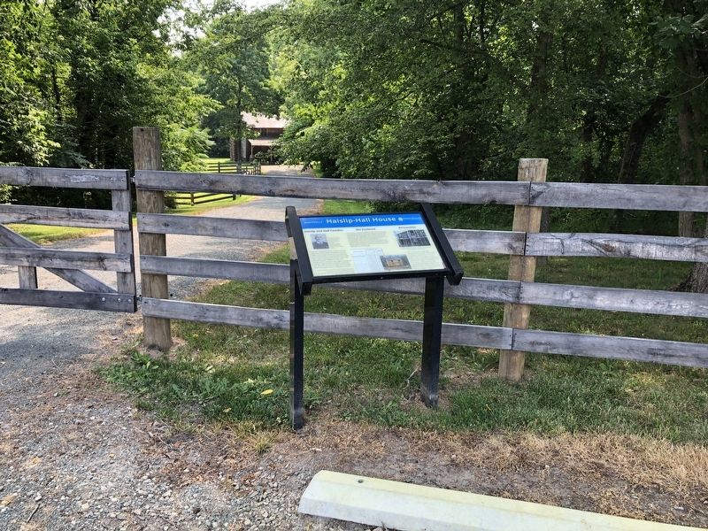
Haislip-Hall House
Brentsville
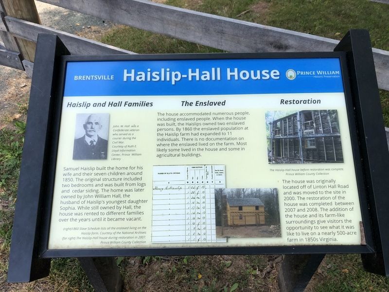
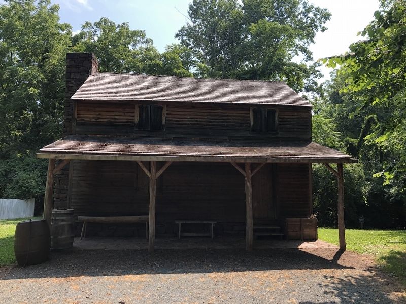
Samuel Haislip built the home for his wife and their seven children around 1850. The original structure included two bedrooms and was built from logs and cedar siding. The home was later owned by John william Hall, the husband of Haislip's youngest daughter Sophia. While still owned by Hall, the house was rented to different families over the years until it became vacant.
this page online
Erected by Prince William Historic Preservation.
Topics. This historical marker is listed in these topic lists: African Americans • Notable Buildings • Settlements & Settlers. A significant historical year for this entry is 1850.
Location. 38° 41.409′ N, 77° 29.947′ W. Marker is in Brentsville, Virginia, in Prince William County. It can be reached from Bristow Road (Virginia Route 619) 0.2 miles west of Izaak Walton Drive, on the right when traveling west. Touch for map. Marker is at or near this postal address: 12269 Bristow Rd, Bristow VA 20136, United States of America. Touch for directions.

Regionally, this marker is in the Washington Metropolitan Area, in Northern Virginia, and in the Piedmont. It is also in the American South, specifically in the Upper South, in the Mid-Atlantic, and on the Eastern Seaboard. Globally, it is in the North Atlantic Region, North America, the Western Hemisphere, the Western World, and the Anglosphere. Historically, it finds itself in what was once the territory of the Mississippian Culture, one of the original
Other nearby markers. At least 8 other markers are within walking distance of this marker: Brentsville Courthouse Historic Centre (within shouting distance of this marker); Brentsville (within shouting distance of this marker); Brentsville Jail (within shouting distance of this marker); Brentsville Courthouse (within shouting distance of this marker); The Public Lot (within shouting distance of this marker); County Courthouse (within shouting distance of this marker); County Jail (within shouting distance of this marker); The Gallows (within shouting distance of this marker). Touch for a list and map of all markers in Brentsville.
Another marker is no longer nearby. John W. Hall Home (was here, next to this marker but has been replaced with another marker now near it).
Related marker. Click here for another marker that is related to this marker. This marker has replaced the linked marker.
Credits. This page was last revised on July 8, 2020. It was originally submitted on July 5, 2020, by Devry Becker Jones of Washington, District of Columbia. This page has been viewed 1,442 times since then and 102 times this year. Photos: 1, 2, 3. submitted on July 5, 2020, by Devry Becker Jones of Washington, District of Columbia.
