Ashland in Jackson County, Oregon — The American West (Northwest)
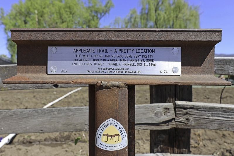
Applegate Trail - A Pretty Location
locations. Timber in a great many varieties, some
entirely new to me." Virgil K. Pringle, Oct 11, 1846
Erected 2017 by Trails West, Inc. (Marker Number A-74.)
Topics and series. This historical marker is listed in these topic lists: Exploration • Roads & Vehicles • Settlements & Settlers. In addition, it is included in the Applegate Trail, the California Trail, and the Trails West Inc. series lists. A significant historical year for this entry is 1846.
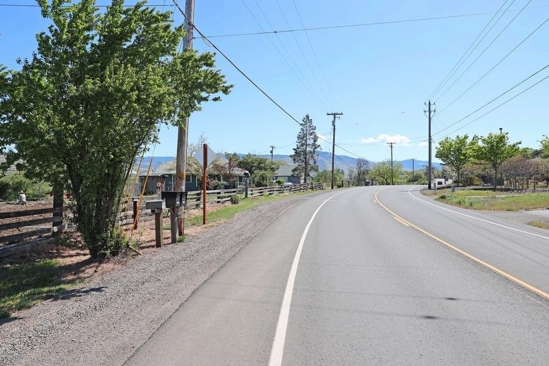
Location. 42° 11.696′ N, 122° 41.057′ W. Marker is in Ashland, Oregon, in Jackson County. Marker is on East Main Street, on the right when traveling west. Touch for map. Marker is at or near this postal address: 1755 E Main St, Ashland OR 97520, United States of America. Touch for directions.
Other nearby markers. At least 8 other markers are within 2 miles of this marker, measured as the crow flies. Ashland, OR (approx. 0.9 miles away); The Applegate Trail (approx. one mile away); Ashland Cemetery War Memorial (approx. 1.1 miles away); Ashland’s Golden Spike (approx. 1.1 miles away); Enders Building No. 1, 1914 (approx. 1.4 miles away); Citizens Banking and Trust Company (approx. 1.4 miles away); Applegate Trail - Ashland Creek (approx. 1˝ miles away); McCall Magnolia (approx. 1˝ miles away). Touch for a list and map of all markers in Ashland.
Regarding Applegate Trail - A Pretty Location. Trails West Inc. mentions that E. Main Street is the Applegate Trail route.
Credits. This page was last revised on July 10, 2020. It was originally submitted on July 6, 2020, by Douglass Halvorsen of Klamath Falls, Oregon. This page has been viewed 321 times since then and 59 times this year. Photos: 1, 2, 3. submitted on July 6, 2020, by Douglass Halvorsen of Klamath Falls, Oregon. • J. Makali Bruton was the editor who published this page.


