Near Sparta in Monroe County, Wisconsin — The American Midwest (Great Lakes)
Making the Grade
Photographed by Cosmos Mariner, July 19, 2012
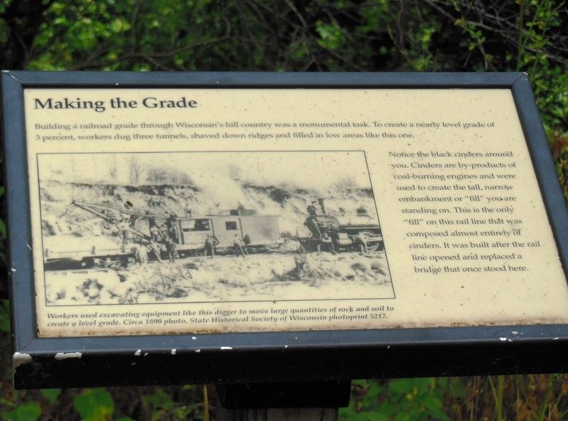
1. Making the Grade Marker
Notice the black cinders around you. Cinders are by-products of coal-burning engines and were used to create the tall, narrow embankment or "fill" you are standing on. This is the only "fill" on this rail line that was composed almost entirely of cinders. It was built after the rail line opened and replaced a bridge that once stood here.
Topics. This historical marker is listed in this topic list: Railroads & Streetcars.
Location. 43° 52.278′ N, 90° 42.756′ W. Marker is near Sparta, Wisconsin, in Monroe County. It can be reached from Kapok Road south of State Route 71. Marker is located on the Elroy-Sparta State Trail (rail trail), about 5 miles southeast of the Sparta DNR Campground trailhead at Igloo Road and Imac Avenue. Touch for map. Marker is in this post office area: Sparta WI 54656, United States of America. Touch for directions.

Regionally, this marker
this page online
Other nearby markers. At least 8 other markers are within 7 miles of this marker, measured as the crow flies: Back Breaking Work (approx. 2 miles away); Fort McCoy South Post Gates (approx. 5 miles away); Donald "Deke" Slayton (approx. 5.8 miles away); Wisconsin Child Center Cemetery (approx. 6.8 miles away); U.S. Post Office (approx. 7.1 miles away); Sparta Free Library (approx. 7.1 miles away); Monroe County Courthouse (approx. 7.1 miles away); Masonic Lodge (approx. 7.1 miles away). Touch for a list and map of all markers in Sparta.
Also see . . . Elroy-Sparta State Trail (Wikipedia). The trail, constructed upon the abandoned Chicago and North Western Railway railroad bed, is covered with crushed limestone for a smooth ride for bicyclists. (Submitted on July 7, 2020, by Cosmos Mariner of Cape Canaveral, Florida.)
State Historical Society of Wisconsin photoprint 5217
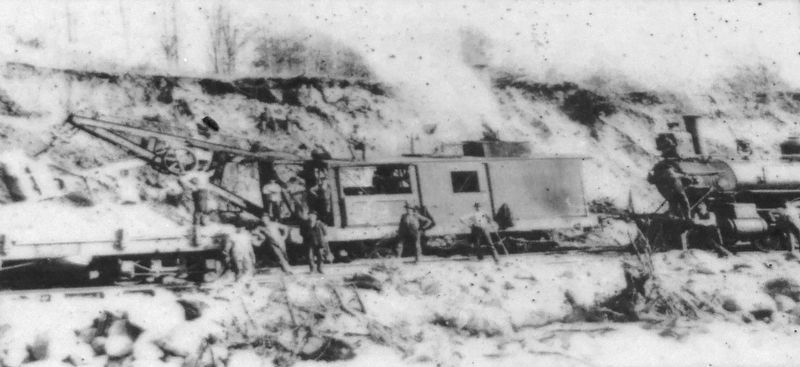
2. Marker detail: Railroad construction, circa 1890 photo
Workers used excavating equipment like this digger to move large quantities of rock and soil to create a level grade.
Photographed by Cosmos Mariner, July 19, 2012
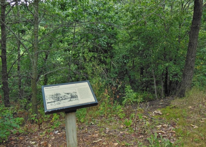
3. Making the Grade Marker
Photographed by Cosmos Mariner, July 19, 2012
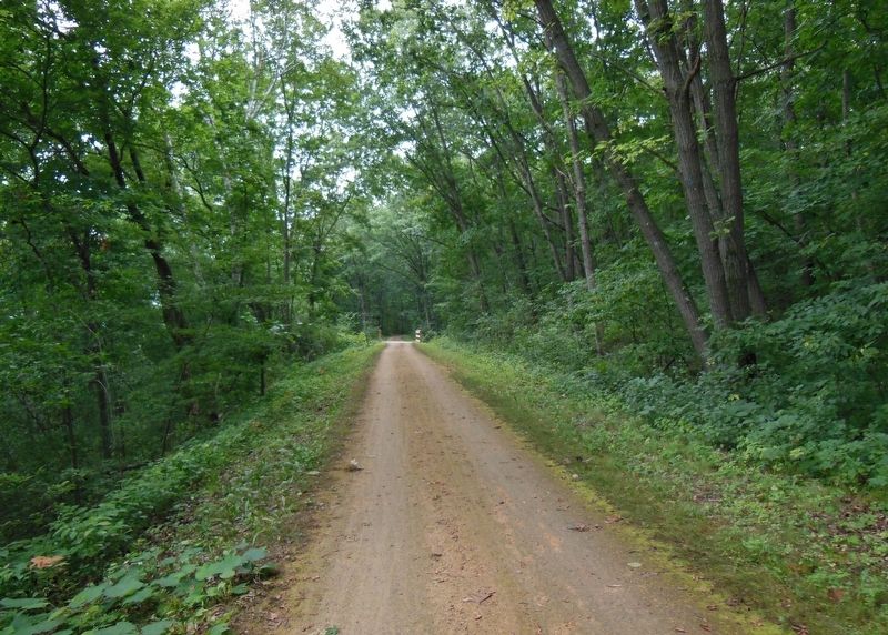
4. Elroy-Sparta State Trail near marker
Credits. This page was last revised on July 8, 2020. It was originally submitted on July 7, 2020, by Cosmos Mariner of Cape Canaveral, Florida. This page has been viewed 271 times since then and 16 times this year. Photos: 1, 2, 3, 4. submitted on July 7, 2020, by Cosmos Mariner of Cape Canaveral, Florida.
