Fernandina Beach in Nassau County, Florida — The American South (South Atlantic)
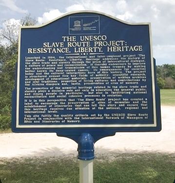
The UNESCO Slave Route Project: Resistance, Liberty, Heritage
Inscription.
(side 1)
Launched in 1994, the international and inter-regional project ‘The Slave Route: Resistance, Liberty, Heritage’ addresses the history of the slave trade and slavery through the prism of intercultural dialogue, a culture of peace and reconciliation. It thereby endeavors to improve the understanding and transmission of this human tragedy by making better known its deep-seated causes, its consequences for societies today and the cultural interactions born of this history. The project is structured around five key fields of activity: scientific research, development of educational materials, preservation of written archives and oral traditions, promotion of living cultures and contributions by the African diaspora and, lastly, preservation of sites of memory.
The promotion of the memorial heritage related to the slave trade and slavery plays a decisive role not only in educating the general public, and young people in particular, but also in facilitating national reconciliation and social cohesion processes in societies.
It is in this perspective that ‘The Slave Route project has created a label to encourage the preservation of sites of memories and the establishment of itineraries that can tell this story and ensure that this heritage receives due attention at the national, regional and international levels.
This site fulfills the quality criteria set by the UNESCO Slave Route Project in conjunction with the International Network of Managers of Sites and Itineraries of Memory.
(side 2)
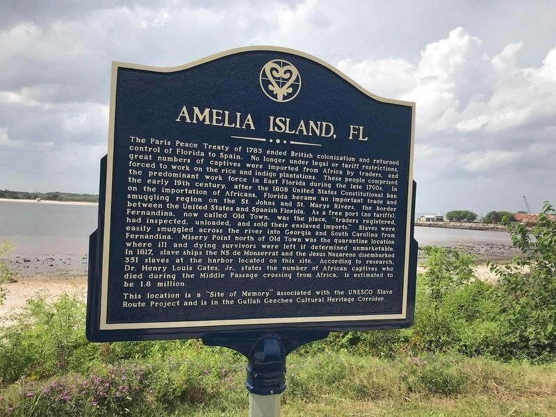
Amelia Island, Fl
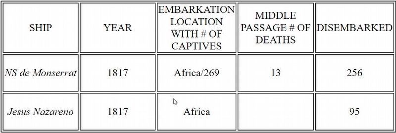
The Paris Peace Treaty of 1783 ended British colonization and returned control of Florida to Spain. No longer under legal or tariff restrictions, great numbers of captives were imported from Africa by traders, and forced to work on the rice and indigo plantations. These people comprised the predominant work force in East Florida during the late 1700s. In the early 19th century, after the 1808 United States Constitutional ban on the importation of Africans, Florida became an important trade and smuggling region on the St. Johns and St. Marys Rivers, the border between the United States and Spanish Florida. As a free port (no tariffs) Fernandina, now called Old Town, was the place, “traders registered, had inspected, unloaded, and sold their enslaved imports.” Slaves were easily smuggled across the river into Georgia ad South Carolina from Fernandina. Misery Point north of Old Town was the quarantine location where ill and dying survivors were left if determined unmarketable. In 1817, slave ships the NS Monserrat and the Jesus Nazareno disembarked 351 slaves at the harbor located on this site. According to research, Dr.
Henry Louis Gates, Jr., states the number of African captives who died during the Middle Passage crossing from Africa, is estimated to be 1.8 million.
This location is a “Site of Memory” associated with the UNESCO Slave Route Project and is in the Gullah Geechee Cultural Heritage Corridor.
Erected 2020.
Topics. This historical marker is listed in this topic list: African Americans. A significant historical year for this entry is 1994.
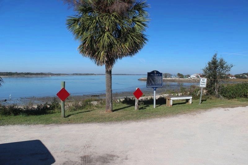
Location. 30° 41.323′ N, 81° 27.402′ W. Marker is in Fernandina Beach, Florida, in Nassau County. Marker is on San Fernando Street south of White Street, on the right when traveling south. Located in Fernandina Plaza Historic State Park. Touch for map. Marker is at or near this postal address: 715 San Fernando Street, Fernandina Beach FL 32034, United States of America. Touch for directions.
Other nearby markers. At least 8 other markers are within walking distance of this marker. Shipwreck, Slavery and Survival (a few steps from this marker); The Plaza (a few steps from this marker); 6-Pound Cannon (a few steps from this marker); Fort Clinch Military Road (a few steps from this marker); Fort San Carlos (within shouting distance of this marker); Plaza San Carlos (within shouting distance of this marker); Old Town (approx. ¼ mile away); McClure's Hill (approx. 0.6 miles away). Touch for a list and map of all markers in Fernandina Beach.
Regarding The UNESCO Slave Route Project: Resistance, Liberty, Heritage.
As a free port (no tariffs), Fernandina was the place, “traders registered, had inspected, unloaded, and sold their enslaved imports.” Misery Point, north of Fernandina, was the quarantine location where severely ill and damaged survivors of the ocean voyages were taken. Viable/marketable Africans were easily smuggled into Georgia and South Carolina from Amelia Island. A public marker was installed in historic Old Town in 2020. Presently there is a marker relating the Caribbean human trade from Cuba to this region installed at Fort Clinch.
Also see . . .
1. Middle Passage Ceremonies and Port Markers Project. (Submitted on July 7, 2020, by John Bloomfield of Palm Coast, Florida.)
2. Modern Slavery. 40 million people are estimated to be trapped in modern slavery worldwide: • 1 in 4 of them are children. • Almost three quarters (71%) are women and girls. • Over 10,000 were identified as potential victims by the authorities in the UK in 2019. (Submitted on August 2, 2020, by Byron Hooks of Sandy Springs, Georgia.)
Additional keywords. MPCPMP, Middle Passage
Credits. This page was last revised on June 20, 2021. It was originally submitted on July 7, 2020, by John Bloomfield of Palm Coast, Florida. This page has been viewed 766 times since then and 95 times this year. Photos: 1. submitted on July 7, 2020, by John Bloomfield of Palm Coast, Florida. 2. submitted on July 14, 2020, by John Bloomfield of Palm Coast, Florida. 3. submitted on June 19, 2021, by Tim Fillmon of Webster, Florida. 4. submitted on July 7, 2020, by John Bloomfield of Palm Coast, Florida. • Bernard Fisher was the editor who published this page.


