Solomon in Dickinson County, Kansas — The American Midwest (Upper Plains)
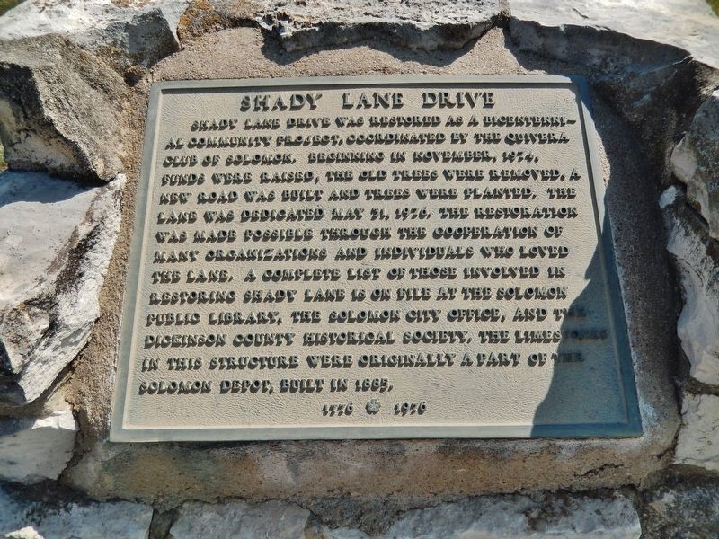
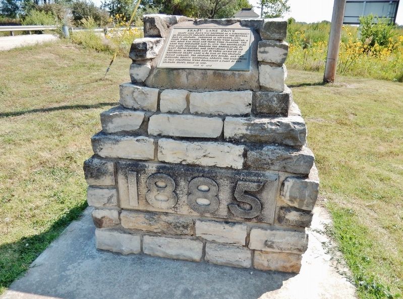
Shady Lane Drive
Topics. This historical marker is listed in these topic lists: Railroads & Streetcars • Roads & Vehicles. A significant historical year for this entry is 1885.
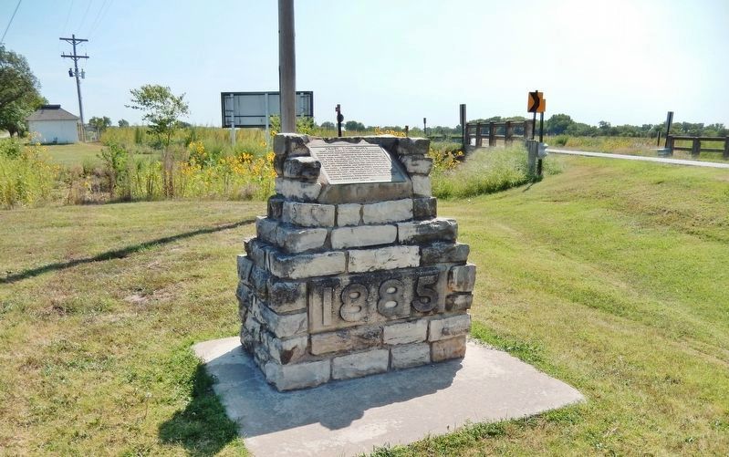
Location. 38° 55.086′ N, 97° 21.762′ W. Marker is in Solomon, Kansas, in Dickinson County. Marker is at the intersection of East 4th Street (Old U.S. 40) and 2200 Avenue, in the median on East 4th Street. Touch for map. Marker is in this post office area: Solomon KS 67480, United States of America. Touch for directions.
Other nearby markers. At least 8 other markers are within 8 miles of this marker, measured as the crow flies. Brewer Scout Cabin (approx. 0.4 miles away); Historical Kansas (approx. 1.8 miles away); Harold J. Royer Band Shell (approx. 7.2 miles away); Eisenhower Park (approx. 7.2 miles away); The Grand Army of the Republic (approx. 7.2 miles away); Site of First Settlers' Home (approx. 7½ miles away); C. H. Lebold Mansion (approx. 7½ miles away); J. E. Johntz Home (approx. 7.7 miles away). Touch for a list and map of all markers in Solomon.
Also see . . .
1. Union Pacific Railroad Company depot, Solomon, Kansas. This photograph shows a general view of the Union Pacific Railroad Company depot in Solomon, Kansas. The two-story brick structure with ornate trim was part of the Kansas Division, First Sub. Division at milepost 172.3. The depot no longer stands. (Submitted on July 9, 2020, by Cosmos Mariner of Cape Canaveral, Florida.)
2. Survey of Kansas Railroad Depots. The Union Pacific’s stone combination depot at Solomon was built in 1885 when Solomon was an important railroad center This was the first railroad depot in Kansas to be listed on the National Register (April 26, 1972). It was demolished by the railroad in 1977. (Submitted on July 9, 2020, by Cosmos Mariner of Cape Canaveral, Florida.)
Credits. This page was last revised on July 9, 2020. It was originally submitted on July 9, 2020, by Cosmos Mariner of Cape Canaveral, Florida. This page has been viewed 129 times since then and 14 times this year. Photos: 1, 2, 3. submitted on July 9, 2020, by Cosmos Mariner of Cape Canaveral, Florida.


