Greenup in Cumberland County, Illinois — The American Midwest (Great Lakes)
Greenup
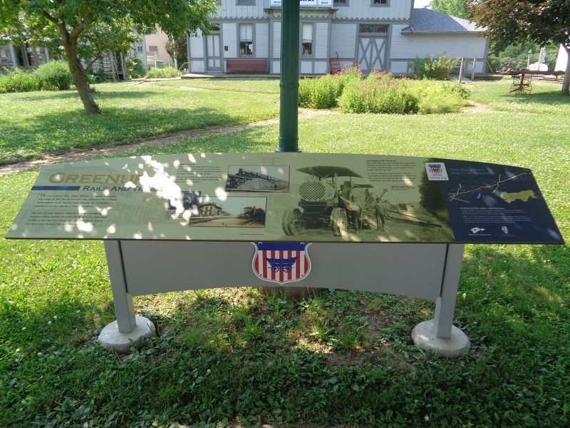
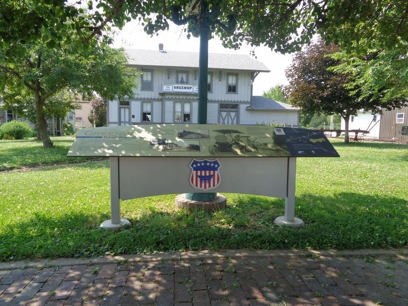
Rails and Trails
The road Greenup helped to construct became a corridor for American culture, politics and trade. But its glory was short-lived. By 1850, a new road was coming. The National Road's claim to the fastest route between East and West was about to end.
Age of Steam
For generations, the nation moved by coach, wagon and water. In the 1850s, America turned its attention to rail. Speed, convenience, and reliability made steam locomotives the preferred means of travel.
With the rise of railroads, traffic on the National Road dwindled. The road the built a nation suffered from neglect, and fell into disrepair.
Automobiles Hit The Road
Henry Ford didn't invent the automobile, but he did make it affordable. By 1919, there were more than 7.5 million vehicles in America. With the growing number of drivers came a national push for better roads.
In 1926, the National Road became part of US 40, a transcontinental highway that stretched from Atlantic City, N.J., to San Franciso, Calif. By 1940, US 40 had become a well-marked, all-weather highway still in use today.
(Photo captions:)
The St. Louis, Vandalia and Terre Haute Railroad reached Greenup in 1868. The Grayville and Mattoon line followed in 1872.
Preparing the National Road for paving east of Greenup about 1920.
(aside:)
A Road of Dirt, Rock, And Dreams
In 1806, President Thomas Jefferson signed legislation to provide federal funding for a National Road. Surveyed from Cumberland, Md., to the Mississippi River, the National Road was a highway for pioneers eager to settle the West.
Today, as US 40, the National Road in Illinois spans 164 miles. From Indiana to East St. Louis, you can still see how the ambitions and accomplishments of early Illinois immigrants shaped our communities. You'll find their influence in our art and architecture, our industry and agriculture, and in our way of life. Enjoy your time on the Road.
Erected 2015 by National Road Association of Illinois.
Topics and series. This historical marker is listed in these topic lists: Railroads & Streetcars • Roads & Vehicles. In addition, it is included in the The Historic National Road series list.
Location. 39° 14.798′ N, 88° 9.973′ W.
Marker is in Greenup, Illinois, in Cumberland County. Marker is on West Cumberland Street (Illinois Route 121) west of Mill Street, on the right when traveling east. Marker is in front of the Historic Greenup Depot. Touch for map. Marker is at or near this postal address: 205 W Cumberland St, Greenup IL 62428, United States of America. Touch for directions.
Other nearby markers. At least 8 other markers are within 2 miles of this marker, measured as the crow flies. Site of Barbour Inn (within shouting distance of this marker); First Hotel (within shouting distance of this marker); Abraham Lincoln Well (within shouting distance of this marker); Greenup Township Carnegie Library (within shouting distance of this marker); Cumberland County Covered Bridge (approx. 1.3 miles away); Construction of the Cumberland County Covered Bridge (approx. 1.3 miles away); Old to New: Bridges over the Embarras River (approx. 1.3 miles away); "The Road that Built the Nation" (approx. 1.3 miles away). Touch for a list and map of all markers in Greenup.
Also see . . . Greenup (video). From the Illinois National Road's YouTube channel, this is a short video that talks about the history of Greenup, as well as recommend historical places to visit while there. (Submitted on July 10, 2020, by Jason Voigt of Glen Carbon, Illinois.)
Credits. This page was last revised on July 10, 2020. It was originally submitted on July 10, 2020, by Jason Voigt of Glen Carbon, Illinois. This page has been viewed 452 times since then and 77 times this year. Photos: 1, 2. submitted on July 10, 2020, by Jason Voigt of Glen Carbon, Illinois.

