West Leyden in Lewis County, New York — The American Northeast (Mid-Atlantic)
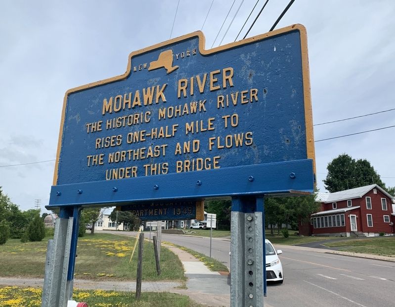
Mohawk River
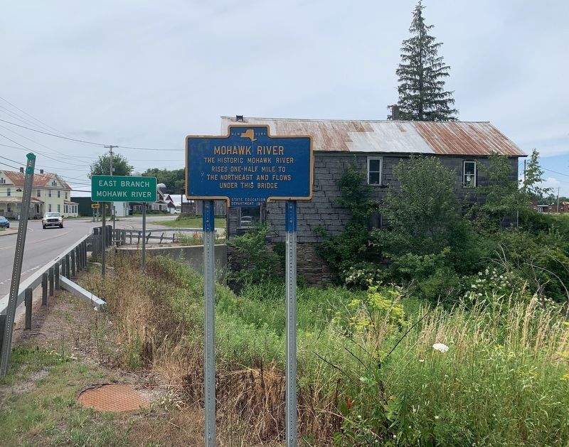
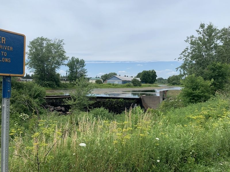
The historic Mohawk River rises one-half mile to the northeast and flows under this bridge
Erected 1949 by State Education Department.
Topics. This historical marker is listed in this topic list: Waterways & Vessels.
Location. 43° 27.589′ N, 75° 27.778′ W. Marker is in West Leyden, New York, in Lewis County. Marker is at the intersection of New York State Route 26 and Ammon Road, on the right when traveling south on State Route 26. Touch for map. Marker is in this post office area: West Leyden NY 13489, United States of America. Touch for directions.
Other nearby markers. At least 8 other markers are within 7 miles of this marker, measured as the crow flies. Black River Canal (approx. 6.3 miles away); Pratt House (approx. 6.6 miles away); Post House, 1817 (approx. 6.6 miles away); In Honor of Walter D. Edmonds (1903-1998) (approx. 6.6 miles away); Boonville (approx. 6.6 miles away); Boonville Historic District (approx. 6.7 miles away); First Presbyterian Church (approx. 6.7 miles away); a different marker also named Black River Canal (approx. 6.8 miles away).
More about this marker. The marker isn’t quite right. The East Branch of the Mohawk starts about 2.75 mi. to the northeast near the intersection of Esche Road and NY-26
Regarding Mohawk River. The Mohawk river is the principal tributary to the Hudson River. It is often calculated (at 150 miles) as the longest river entirely contained within New York State. The Mohawk River formed during the Wisconsin glacial age about 20,00 years ago, and was a principal outlet for the drainage of (glacial age) Lake Iroquois. At times, water flow matched that of the current Amazon River, and this carved the relatively level east-west corridor the Mohawk traces today. The steep buffs lining I-90 starting at Little Falls, NY and continuing east reveal the erosive power and flow of the ancient river.
Also see . . . Mohawk River (Wikipedia). (Submitted on July 11, 2020, by Steve Stoessel of Niskayuna, New York.)
Credits. This page was last revised on July 13, 2020. It was originally submitted on July 11, 2020, by Steve Stoessel of Niskayuna, New York. This page has been viewed 152 times since then and 23 times this year. Photos: 1, 2, 3. submitted on July 11, 2020, by Steve Stoessel of Niskayuna, New York. • Bill Pfingsten was the editor who published this page.


