Marker Logo HMdb.org THE HISTORICAL
MARKER DATABASE
“Bite-Size Bits of Local, National, and Global History”
Fort Bragg in Mendocino County, California — The American West (Pacific Coastal)
 

Runway!


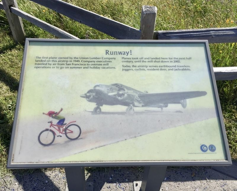
Runway! Marker image. Click for full size.
Photographed By Andrew Ruppenstein, May 21, 2020
1. Runway! Marker
Inscription. The first plane owned by the Union Lumber Company landed on this airstrip in 1949. Company executives traveled by air from San Francisco to oversee mill operations or to go on summer and holiday vacations. Planes took off and landed here for the next half century, until the mill shut down in 2002.

Today, the airstrip serves earthbound travelers: joggers, cyclists, resident deer, and jackrabbits.
 
Erected 2015 by City of Fort Bragg.
 
Topics. This historical marker is listed in this topic list: Air & Space. A significant historical year for this entry is 1949.
 
Location. 39° 25.882′ N, 123° 48.761′ W. Marker is in Fort Bragg, California, in Mendocino County. Marker can be reached from West Cypress Street. Touch for map. Marker is in this post office area: Fort Bragg CA 95437, United States of America. Touch for directions.
 
Other nearby markers. At least 8 other markers are within 2 miles of this marker, measured as the crow flies. Whirring Saws Silenced: A Pictorial History of the Mill Site (approx. 0.8 miles away); Charles Russell Johnson (approx. one mile away); Fort Bragg (approx. one mile away); Major William F. Mullen Freedom Tree (approx. one mile away); Dynamite Shack (approx. 1.1 miles away); Fort Building (approx. 1.1 miles away); The Weller House

Paid Advertisement
Click on the ad for more information.
Please report objectionable advertising to the Editor.
Click or scan to see
this page online
(approx. 1.1 miles away); First Baptist Church Bell (approx. 1.2 miles away). Touch for a list and map of all markers in Fort Bragg.
 
More about this marker. The marker is located in Noyo Headlands Park, on the western edge of the parking lot, just a few steps south of the restrooms. This part of the park is best reached from the entrance on South Main Street.
 
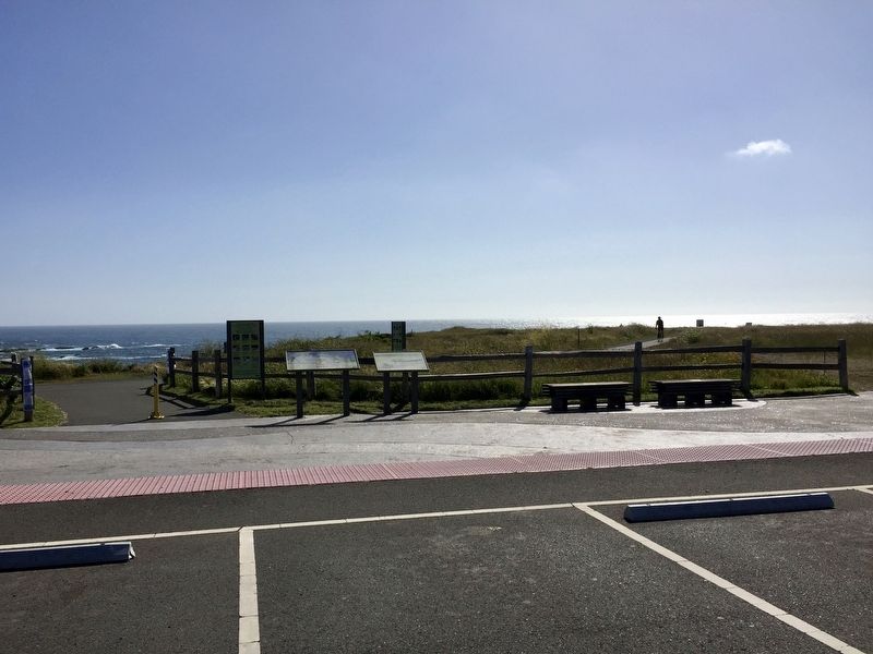
Runway! Marker - wide view image. Click for full size.
Photographed By Andrew Ruppenstein, May 21, 2020
2. Runway! Marker - wide view
The Runway! marker is the rightmost of the two in the foreground.
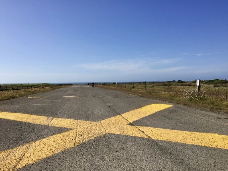
The runway - looking north-ish image. Click for full size.
Photographed By Andrew Ruppenstein, May 21, 2020
3. The runway - looking north-ish
 
 
Credits. This page was last revised on July 11, 2020. It was originally submitted on July 11, 2020, by Andrew Ruppenstein of Lamorinda, California. This page has been viewed 180 times since then and 18 times this year. Photos:   1, 2, 3. submitted on July 11, 2020, by Andrew Ruppenstein of Lamorinda, California.
Share this page.  
Share on Tumblr
m=152602

CeraNet Cloud Computing sponsors the Historical Marker Database.
This website earns income from purchases you make after using our links to Amazon.com. We appreciate your support.
Paid Advertisement
Apr. 24, 2024