Grosse Ile in Wayne County, Michigan — The American Midwest (Great Lakes)
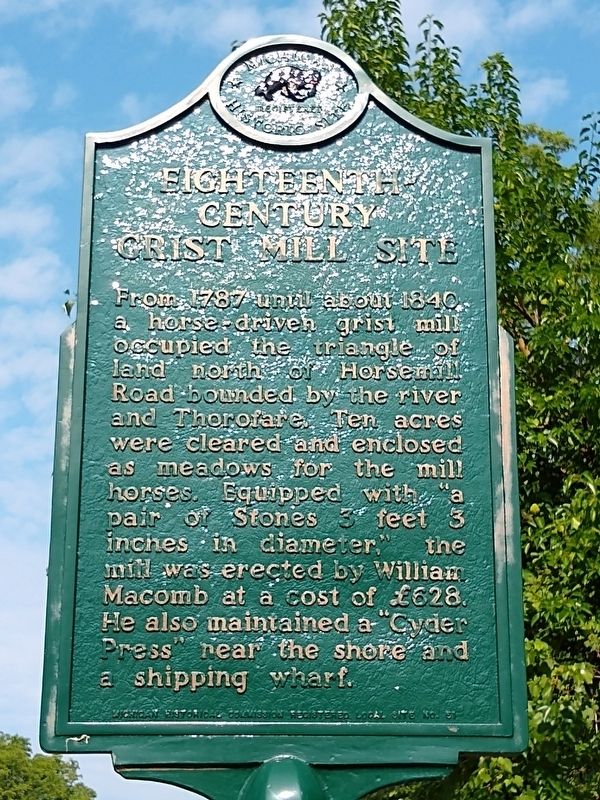
Eighteenth-Century Grist Mill Site
Erected by Michigan Historical Commission. (Marker Number L51.)
Topics and series. This historical marker is listed in these topic lists: Industry & Commerce • Settlements & Settlers. In addition, it is included in the Michigan Historical Commission series list. A significant historical year for this entry is 1787.
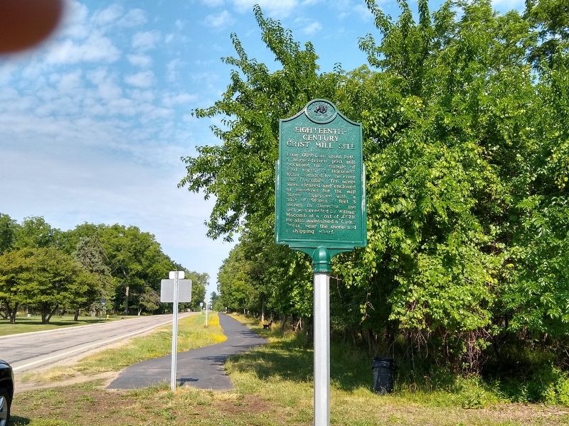
Location. 42° 9.771′ N, 83° 8.494′ W. Marker is in Grosse Ile, Michigan, in Wayne County. Marker is at the intersection of Horsemill Road and Parke Lane, on the left when traveling east on Horsemill Road. Touch for map. Marker is in this post office area: Grosse Ile MI 48138, United States of America. Touch for directions.
Other nearby markers. At least 8 other markers are within 5 kilometers of this marker, measured as the crow flies. Mansion House and Survey Tree (approx. half a mile away); St. Anne Church/St. Anne Chapel (approx. 0.9 miles away); Angus Keith House (approx. 0.9 miles away); The Rucker-Stanton House (approx. 1½ miles away); The Wyandot (approx. 1.9 miles away in Canada); Grosse Ile Treaty Tree (approx. 3.5 kilometers away); Wagstaff-Duddleston Home (approx. 3.6 kilometers away); Skirmishes at the Canard River (approx. 3.7 kilometers away in Canada). Touch for a list and map of all markers in Grosse Ile.
Credits. This page was last revised on July 11, 2020. It was originally submitted on July 11, 2020, by Joel Seewald of Madison Heights, Michigan. This page has been viewed 222 times since then and 19 times this year. Photos: 1, 2. submitted on July 11, 2020, by Joel Seewald of Madison Heights, Michigan.

