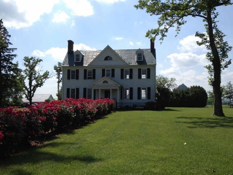
Stevensburg in Culpeper County, Virginia — The American South (Mid-Atlantic)
Historic Stevensburg
Crossroads Community
— Crossroads and Conflict —
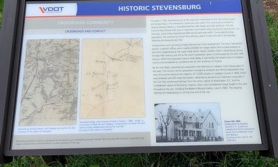
Transportation and commerce shaped Stevensburg's early development. The town had several taverns, a doctor's office, and a nearby campsite for wagon teams that trucked produce to and from Fredericksburg, the major trade center nearby. Quakers lived in Stevensburg during the late 18th century, but left as the town's population grew to 200 people by the early 19th century. While that population seems small today, it was briefly the largest town in Culpeper County and considered as a potential site for the University of Virginia.
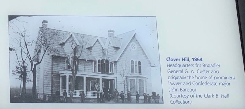
By the mid-1800s, Stevensburg's population had declined as Culpeper Court House grew to the west. The county's ethnic population changed as enslaved and African-descendant free men and women became the majority. Of 12,063 people in Culpeper County in 1860, 6,675 were enslaved and 429 were free blacks. Stevensburg served as an important crossroads in the Civil War, positioned halfway from the Union capital of Washington, D.C. and the Confederate capital of Richmond, Virginia. Union and Confederate troops fought in the area throughout the war, including the Battle of Brandy Station, June 9, 1863. The ongoing fighting left Stevensburg in ruins by the end of the war.
Sidebar, bottom of marker:
Stevensburg gained a notorious reputation for horseracing and cockfighting through the late 18th and early 19th centuries, especially at the wagon camp known as Wicked Bottom located southeast of this sign.
Erected 2020 by Virginia Department of Transportation.
Topics. This historical marker is listed in these topic lists: African Americans • Settlements & Settlers • War, US Revolutionary. A significant historical date for this entry is June 9, 1863.
Location. 38° 26.502′ N, 77° 53.443′ W. Marker is in Stevensburg, Virginia, in Culpeper County. Marker is at the intersection of York Road (State Road 600) and Germanna Highway (State Highway 3), on the right when traveling east on York Road. Located at an interpretive pull off on the east end of Stevensburg. Touch for map. Marker is in this post office area: Stevensburg VA 22741, United States of America. Touch for directions.
Other nearby markers. At least 8 other markers are within walking distance of this marker. Religion in Stevensburg (here, next to this marker); a different marker also named Religion in Stevensburg
Photographed By Craig Swain, June 20, 2020
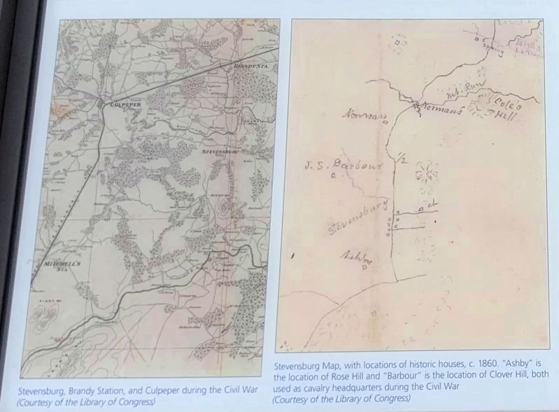
2. Maps on Marker
Left: Stevensburg, Brandy Station, and Culpeper during the Civil War (Courtesy of the Library of Congress)
Right: Stevensburg Map, with locations of historic houses, c. 1860. "Ashby" is the location of Rose Hill and "Barbour" is the location of Clover Hill, both used as cavalry headquarters during the Civil War (Courtesy of the Library of Congress)
Right: Stevensburg Map, with locations of historic houses, c. 1860. "Ashby" is the location of Rose Hill and "Barbour" is the location of Clover Hill, both used as cavalry headquarters during the Civil War (Courtesy of the Library of Congress)
Regarding Historic Stevensburg. The marker discusses the intersection of the Old Carolina Road and Kirtley Road. The narrative was written before the exact placement of the marker was established. The actual historical intersection is about 1000 yards west of the marker at the intersection of Stevensburg Road (CR 663, which the marker incorrectly cites as CR 633) and York Road and
Credits. This page was last revised on July 13, 2020. It was originally submitted on July 12, 2020, by Craig Swain of Leesburg, Virginia. This page has been viewed 683 times since then and 79 times this year. Photos: 1. submitted on July 12, 2020, by Craig Swain of Leesburg, Virginia. 2, 3. submitted on July 13, 2020, by Craig Swain of Leesburg, Virginia. 4. submitted on July 12, 2020, by Craig Swain of Leesburg, Virginia. 5, 6. submitted on July 13, 2020, by Craig Swain of Leesburg, Virginia.
