Hodgenville in Larue County, Kentucky — The American South (East South Central)
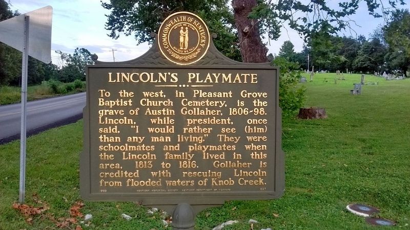
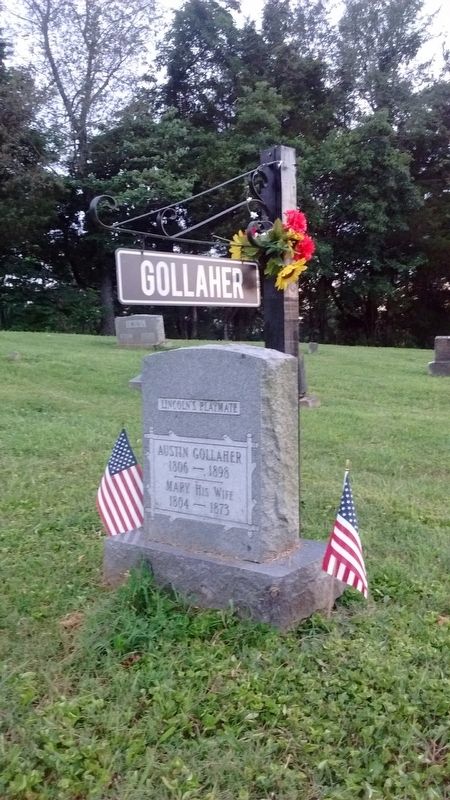
Lincoln's Playmate
Erected 1965 by Kentucky Historical Society & Kentucky Department of Highways. (Marker Number 827.)
Topics and series. This historical marker is listed in this topic list: Cemeteries & Burial Sites. In addition, it is included in the Kentucky Historical Society series list. A significant historical year for this entry is 1813.
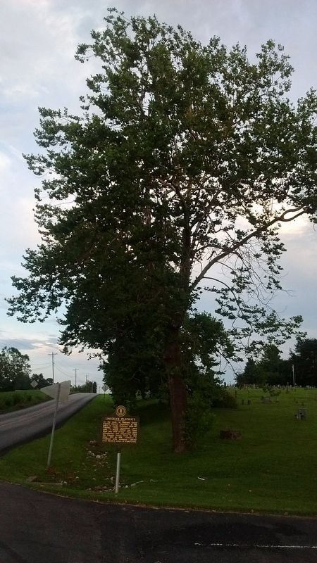
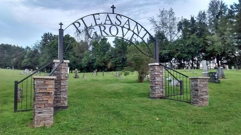
Location. 37° 35.268′ N, 85° 39.752′ W. Marker is in Hodgenville, Kentucky, in Larue County. Marker is on Howardstown Road (Kentucky Route 84) 0.1 miles U.S. 31E, on the left when traveling east. Marker is located in front of Pleasant Grove Baptist Church. Touch for map. Marker is at or near this postal address: 125 Howardstown Road, Hodgenville KY 42748, United States of America. Touch for directions.
Other nearby markers. At least 8 other markers are within 5 miles of this marker, measured as the crow flies. Slavery in the Valley (approx. 2.1 miles away); The Lincoln Tavern (approx. 2.1 miles away); Abraham Lincoln's memory of Knob Creek Farm (approx. 2.1 miles away); Lincoln Knob Creek Farm (approx. 2.1 miles away); Living Off the Land (approx. 2.1 miles away); a different marker also named Lincoln Knob Creek Farm (approx. 2.1 miles away); The Lincolns at Knob Creek (approx. 2.1 miles away); Phillips Fort (approx. 4.1 miles away). Touch for a list and map of all markers in Hodgenville.
Credits. This page was last revised on July 13, 2020. It was originally submitted on July 12, 2020, by Tom Bosse of Jefferson City, Tennessee. This page has been viewed 218 times since then and 33 times this year. Photos: 1, 2, 3, 4, 5. submitted on July 12, 2020, by Tom Bosse of Jefferson City, Tennessee. • Devry Becker Jones was the editor who published this page.
