Lebanon in Smith County, Kansas — The American Midwest (Upper Plains)
U.S. Geographic Center Cedar Tree
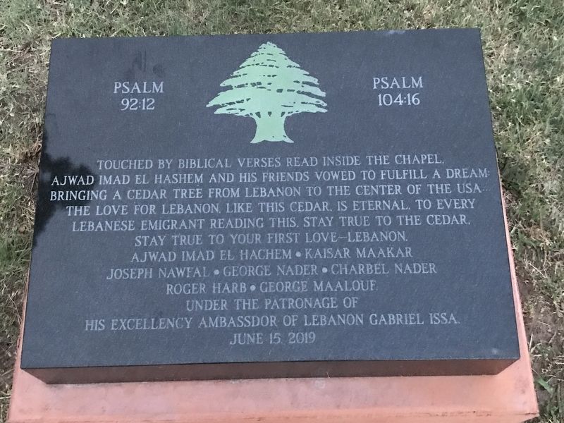
Psalm 92:12 Psalm 104:16
Photographed by Duane and Tracy Marsteller, July 2, 2020
1. U.S. Geographic Center Cedar Tree Marker
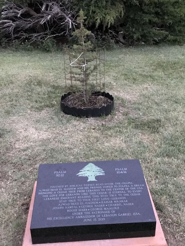
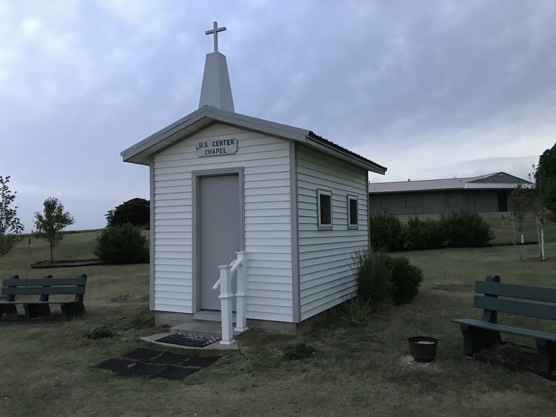
Touched by biblical verses read inside the chapel, Ajwad Imad el Hashem and his friends vowed to fulfill a dream bringing a cedar tree from Lebanon to the center of the USA. The love for Lebanon, like this cedar, is eternal. To every Lebanese emigrant reading this, stay true to the cedar.
Ajwad Imad el Hachem • Kaisar Maakar • Joseph Nawfal • George Nader • Charbel Nader • Roger Harb • George Maalouf
Under the patronage of his excellency Ambassador of Lebanon Gabriel Issa.
June 15 2019
Erected 2019.
Topics. This historical marker is listed in these topic lists: Horticulture & Forestry • Religion & Religious Structures • Settlements & Settlers.
Location. 39° 49.681′ N, 98° 34.768′ W. Marker is in Lebanon, Kansas, in Smith County. It is at the intersection of Aa Road and State Highway 191, on the right when traveling south on Aa Road. Touch for map. Marker is in this post office area: Lebanon KS 66952, United States of America. Touch for directions.

Regionally, this marker is in Eastern Kansas and in the
this page online
Other nearby markers. At least 8 other markers are within 13 miles of this marker, measured as the crow flies: The Geographic Center of the United States (within shouting distance of this marker); The Geographic Center (approx. 3.1 miles away); a different marker also named The Geographic Center (approx. 3½ miles away); What is a Prairie? (approx. 12½ miles away in Nebraska); Nothing But Land (approx. 12½ miles away in Nebraska); Where are the Buffalo? (approx. 12½ miles away in Nebraska); Willa Cather Memorial Prairie (approx. 12½ miles away in Nebraska); Fire Ecology (approx. 12½ miles away in Nebraska). Touch for a list and map of all markers in Lebanon.
Photographed by Duane and Tracy Marsteller, July 2, 2020
2. U.S. Geographic Center Cedar Tree Marker
Photographed by Duane and Tracy Marsteller, July 2, 2020
3. Chapel at U.S. Geographic Center that inspired tree planting
Credits. This page was last revised on November 1, 2025. It was originally submitted on July 13, 2020, by Duane and Tracy Marsteller of Murfreesboro, Tennessee. This page has been viewed 768 times since then and 175 times this year. Photos: 1, 2, 3. submitted on July 13, 2020, by Duane and Tracy Marsteller of Murfreesboro, Tennessee. • Devry Becker Jones was the editor who published this page.
