Terra Alta in Preston County, West Virginia — The American South (Appalachia)
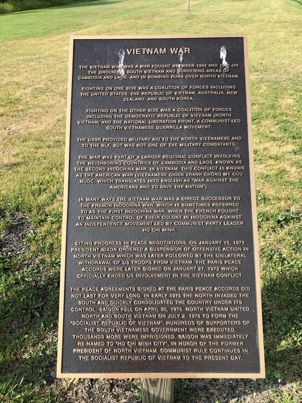
Vietnam War
The Vietnam War was a war fought between 1964 and 1975 on the ground in South Vietnam and bordering areas of Cambodia and Laos, and in bombing runs over North Vietnam.
Fighting on one side was a coalition of forces including the United States, the Republic of Vietnam, Australia, New Zealand, and South Korea.
Fighting on the other side was a coalition of forces including the Democratic Republic of Vietnam (North Vietnam) and the National Liberation Front, a Communist-led South Vietnamese guerrilla movement.
The USSR provided military aid to the North Vietnamese and to the NLF but was not one of the military combatants.
The war was part of a larger regional conflict involving the neighboring countries of Cambodia and Laos, known as the Second Indochina War. In Vietnam, this conflict is known as the American War (Vietnamese Chien Tranh Chong My Cúu Nuóc, which translates into English as "War Against the Americans and to Save the Nation").
In many ways, the Vietnam War was a direct successor to the French Indochina War, which is sometimes referred to as the First Indochina War, when the French fought to maintain control of their colony in Indochina against an independence movement led by Communist Party leader Ho Chi Minh.
Citing progress in peace negotiations, on January 15, 1973 President Nixon ordered a suspension of offensive action in North Vietnam which was later followed by the unilateral withdrawal of US troops from Vietnam. The Paris Peace Accords were later signed on January 27, 1973 which officially ended US involvement in the Vietnam Conflict.
The peace agreements signed at the Paris Peace Accords did not last very long. In early 1975 the North invaded the South and quickly consolidated the country under its control. Saigon fell on April 30, 1975. North Vietnam united North and South Vietnam on July 2, 1976 to form the "Socialist Republic of Vietnam". Hundreds of supporters of the South Vietnamese government were executed. Thousands more were imprisoned. Saigon was immediately re-named "Ho Chi Minh City", in honor of the former president of North Vietnam. Communist rule continues in the Socialist Republic of Vietnam to the present day.
Topics and series. This historical marker is listed in this topic list: War, Vietnam. In addition, it is included in the Former U.S. Presidents: #37 Richard M. Nixon series list. A significant historical date for this entry is January 15, 1973.
Location. 39° 26.59′ N, 79° 32.512′ W. Marker is in Terra Alta, West Virginia, in Preston County. Marker is on East State Avenue (West Virginia Route 7) just west
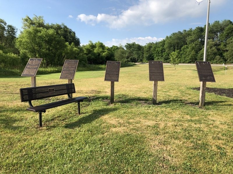
Other nearby markers. At least 8 other markers are within walking distance of this marker. Gulf War (here, next to this marker); Korean War (here, next to this marker); In Memory Of All American Veterans (here, next to this marker); World War II (here, next to this marker); World War I (here, next to this marker); In Flander's Field by John McCrae / Buddy Poppy (within shouting distance of this marker); Everett Wayne "Budd" Sell (within shouting distance of this marker); Terra Alta Community Honor Roll (approx. 0.2 miles away). Touch for a list and map of all markers in Terra Alta.
Credits. This page was last revised on July 14, 2020. It was originally submitted on July 13, 2020, by Devry Becker Jones of Washington, District of Columbia. This page has been viewed 138 times since then and 12 times this year. Photos: 1, 2. submitted on July 13, 2020, by Devry Becker Jones of Washington, District of Columbia.

