Scottsville in Allen County, Kentucky — The American South (East South Central)
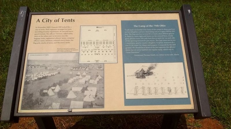
A City of Tents
The Camp of the 79th Ohio
“I will mark out beside it the form of the camps to show you how we live [illegible] and how their being and on a space 300 by 200 feet. The Reg marches in from B to A halts when Wilson gets to A. Each Co. turns right and forms on the crossed lines, stacks guns, pitches tents (We only have five to each Co), on each side of the opening toward the gun stacks. The Capt tents are in a row 1 musicians, quarter master [illegible], hospital, teamsters &c, row 2 Col, Lieut Col, Major and surgeon 3 corporals by the drill ground. We should be in front of the lines opposite the officers’ tents, but we never had but one regular camp, which was in Camp Dennison.”
Lieutenant Thomas Smith, in a letter to his wife, Maria.
(captions)
The plan for regimental encampments required flat or rolling land. The topography here no doubt required changes.
A Union encampment in Virginia
Topics. This historical marker is listed in this topic list: War, US Civil. A significant historical month for this entry is November 1863.
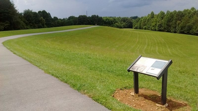
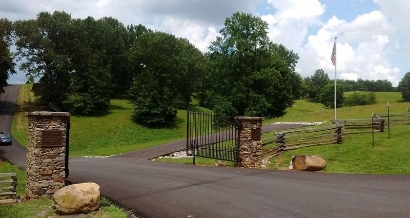
Location. 36° 45.609′ N, 86° 11.896′ W. Marker is in Scottsville, Kentucky, in Allen County. Marker can be reached from North Bedelia Street (Kentucky Route 1386) 0.1 miles west of Dumont Hill Street, on the right when traveling west. Marker located on Dumont Hill at Dugas Community Park. Touch for map. Marker is at or near this postal address: 336 North Bedelia St, Scottsville KY 42164, United States of America. Touch for directions.
Other nearby markers. At least 8 other markers are within walking distance of this marker. Ebenezer Dumont (within shouting distance of this marker); Lilly’s Artillery (within shouting distance of this marker); Union Regiments at Scottsville (about 300 feet away, measured in a direct line); An Army in Crisis (about 400 feet away); An Army Restored (about 400 feet away); The Army’s Shopkeeper (about 500 feet away); Scottsville, 1862 (approx. 0.2 miles away); County Named, 1815 (approx. 0.6 miles away). Touch for a list and map of all markers in Scottsville.
Credits. This page was last revised on July 14, 2020. It was originally submitted on July 13, 2020, by Tom Bosse of Jefferson City, Tennessee. This page has been viewed 206 times since then and 19 times this year. Photos: 1, 2, 3, 4. submitted on July 13, 2020, by Tom Bosse of Jefferson City, Tennessee. • Bernard Fisher was the editor who published this page.


