Flowood in Rankin County, Mississippi — The American South (East South Central)
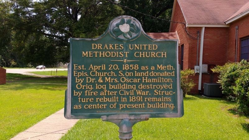
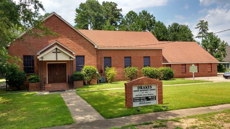
Drakes United Methodist Church
Photographed by Tom Bosse, July 26, 2019
1. Drakes United Methodist Church Marker
Erected 1982 by Mississippi Department of Archives and History.
Topics. This historical marker is listed in this topic list: Religion & Religious Structures. A significant historical date for this entry is April 20, 1858.
Location. 32° 19.735′ N, 90° 5.572′ W. Marker is in Flowood, Mississippi, in Rankin County. It is on Flowood Drive (State Highway 468), on the right when traveling east. Touch for map. Marker is in this post office area: Flowood MS 39232, United States of America. Touch for directions.

Regionally, this marker is in Natchez Trace Corridor and in Greater Jackson. It is also in the American South and specifically in the Deep South. Globally, it is in North America, a Gulf of Mexico state, the Western Hemisphere, the Western World, and the Anglosphere. Historically, it finds itself in what was once the territory of the Mississippian Culture, one of the Confederate States of America, and the
this page online
Other nearby markers. At least 8 other markers are within 4 miles of this marker, measured as the crow flies: Bombings in Jewish Community (approx. 3.7 miles away); Triceratops horridus (approx. 3.7 miles away); Nodosaurus (approx. 3.7 miles away); Eotrachodon (approx. 3.7 miles away); Chasmosaurus (approx. 3.7 miles away); Appalachiosaurus (approx. 3.7 miles away); The Oil Industry in Mississippi (approx. 3.8 miles away); Fortenberry-Parkman Farm (approx. 3.8 miles away).
Also see . . . Drakes United Methodist Church - Our Church History. (Submitted on July 13, 2020, by Tom Bosse of Jefferson City, Tennessee.)
Photographed by Tom Bosse, July 26, 2019
2. Drakes United Methodist Church Marker
Photographed by Tom Bosse, July 26, 2019
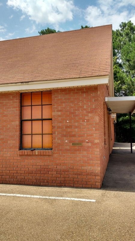
3. Drakes United Methodist Church - Water Level Easter Flood 1979
Photographed by Tom Bosse, July 26, 2019
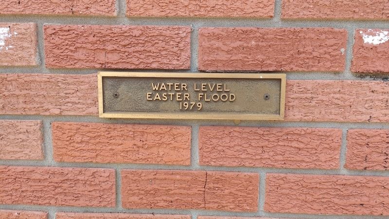
4. Drakes United Methodist Church - Water Level Easter Flood 1979
Credits. This page was last revised on July 18, 2020. It was originally submitted on July 13, 2020, by Tom Bosse of Jefferson City, Tennessee. This page has been viewed 402 times since then and 18 times this year. Photos: 1, 2, 3, 4. submitted on July 13, 2020, by Tom Bosse of Jefferson City, Tennessee. • Bill Pfingsten was the editor who published this page.
