Old Fields in Hardy County, West Virginia — The American South (Appalachia)
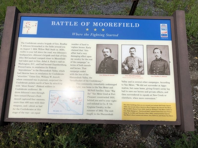
Battle of Moorefield
Where the Fighting Started
The Confederate cavalry brigade of Gen. Bradley T. Johnson bivouacked in the fields around you on August 7, 1864. Willow Wall (built ca. 1830), visible to your left down the road, was Johnson's headquarters. Johnson's brigade and that of Gen. John McCausland (camped closer to Moorefield) had taken part in Gen. Jubal A. Early's raid on Washington, D.C., and had burned Chambersburg, Pennsylvania, in retaliation of Federal "depredations" in the Shenandoah Valley, which had likewise been in retaliation for Confederate "atrocities." Union Gen. William W. Averell, whose command was in pursuit, surprised the Confederate pickets north of here by attacking with "Jesse Scouts" (Federal soldiers in Confederate uniforms). He drove Johnson's men through here toward Parson's Ford. Averell captured four cannons, more than 400 men with their weapons, and—about as bad for the Confederates at this stage of the war—an equal number of hard to replace horses. Early claimed that "this affair had a very damaging effect upon my cavalry for the rest of the campaign" in terms of both morale and horses. That campaign ended with the loss of the Shenandoah Valley, the "breadbasket of the Confederacy."
This community, remarkably undamaged by the fight, was home to the Van Meter and McNeill families. Isaac "Big Ike" Van Meter lived at Fort Pleasant (constructed 1833, behind you and to your right) and enlisted in Co. F, 7th Virginia Cavalry, in the summer of 1862. The unit fought in the Shenandoah Valley and in several other campaigns. According to Van Meter, "We did not surrender at Appomattox, but came home, giving Grant's army leg bail to save our horses and private effects, and then surrendered in squads at New Creek or elsewhere, when more convenient."
The other buildings that you see around you include Old Fields Church (1812), the second oldest church in West Virginia; the Garrett Van Meter House (1835); Buena Vista (1836), built for William T. Van Meter, killed in Gen. Wade Hampton's "Beefsteak Raid" behind Union lines near Petersburg, Va., in 1864; and Traveler's Rest (1856), constructed for Garrett Van Meter's three unmarried sisters: Anne, Rebecca, and Susan Van Meter.
Erected by West Virginia Civil War Trails.
Topics and series. This historical marker is listed in these topic lists: Animals • War, US Civil. In addition, it is included in the West Virginia Civil War Trails series list. A significant historical date for this entry is August 7, 1864.
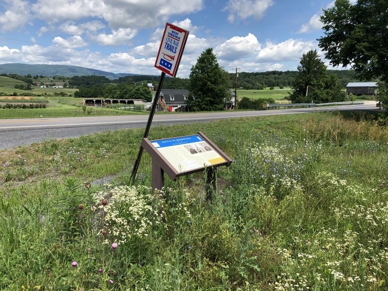
Location. 39° 7.878′ N, 78° 57.072′ W. Marker is in Old Fields, West Virginia, in Hardy County. Marker is on U.S. 220, 0.1 miles north of Fish Pond
Other nearby markers. At least 8 other markers are within 5 miles of this marker, measured as the crow flies. Willow Wall (approx. ¼ mile away); Fort Pleasant (approx. 0.3 miles away); a different marker also named Battle of Moorefield (approx. 3.2 miles away); a different marker also named Battle of Moorefield (approx. 3½ miles away); Gen. Joseph Neville / McNeill's Raid (approx. 4½ miles away); Veterans Memorial (approx. 4.6 miles away); Confederate Memorial (approx. 4.7 miles away); Olivet Cemetery (approx. 4.7 miles away). Touch for a list and map of all markers in Old Fields.
Related marker. Click here for another marker that is related to this marker. This marker has replaced the linked marker.
Credits. This page was last revised on March 8, 2023. It was originally submitted on July 14, 2020, by Devry Becker Jones of Washington, District of Columbia. This page has been viewed 365 times since then and 46 times this year. Photos: 1, 2. submitted on July 14, 2020, by Devry Becker Jones of Washington, District of Columbia.

