Purgitsville near Old Fields in Hampshire County, West Virginia — The American South (Appalachia)
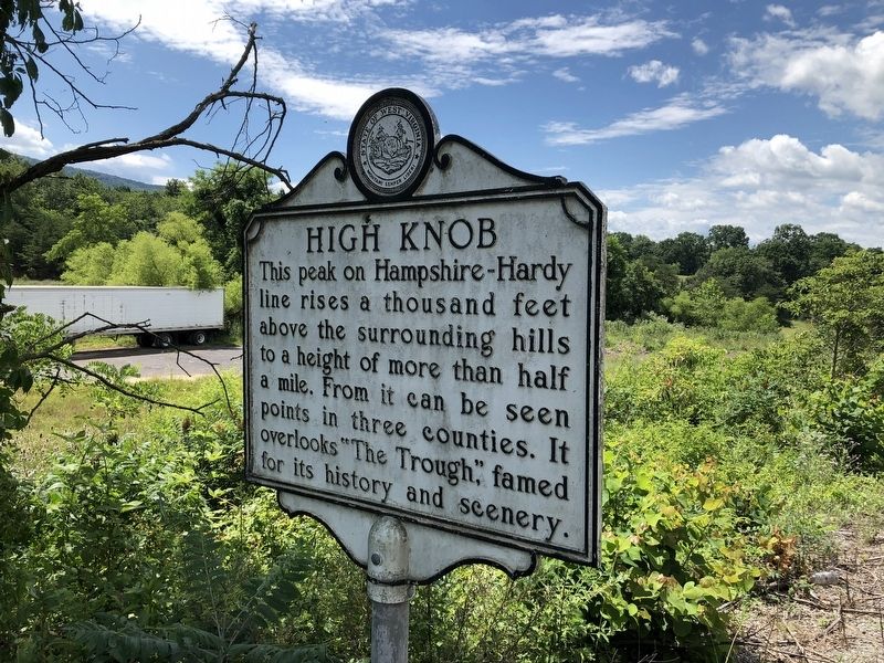
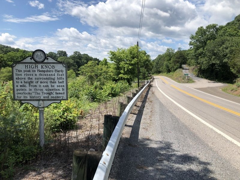
High Knob
Erected by West Virginia Archives & History.
Topics and series. This historical marker is listed in this topic list: Natural Features. In addition, it is included in the West Virginia Archives and History series list.
Location. 39° 12.924′ N, 78° 55.421′ W. Marker is near Old Fields, West Virginia, in Hampshire County. It is in Purgitsville. Marker is at the intersection of U.S. 220 and Hickory Hill Road, on the right when traveling north on U.S. 220. Touch for map. Marker is at or near this postal address: 355 Route 220, Old Fields WV 26845, United States of America. Touch for directions.
Other nearby markers. At least 8 other markers are within 10 miles of this marker, measured as the crow flies. Vincent Williams (approx. 5.6 miles away); Fort Pleasant (approx. 5.7 miles away); Willow Wall (approx. 5.8 miles away); Battle of Moorefield (approx. 6 miles away); The Stone House (approx. 7.9 miles away); Frémont's Camp (approx. 9 miles away); a different marker also named Battle of Moorefield (approx. 9.2 miles away); Nancy Hanks (approx. 9.4 miles away). Touch for a list and map of all markers in Old Fields.
Credits. This page was last revised on April 11, 2023. It was originally submitted on July 14, 2020, by Devry Becker Jones of Washington, District of Columbia. This page has been viewed 208 times since then and 29 times this year. Photos: 1, 2. submitted on July 14, 2020, by Devry Becker Jones of Washington, District of Columbia.

