Big Pool in Washington County, Maryland — The American Northeast (Mid-Atlantic)
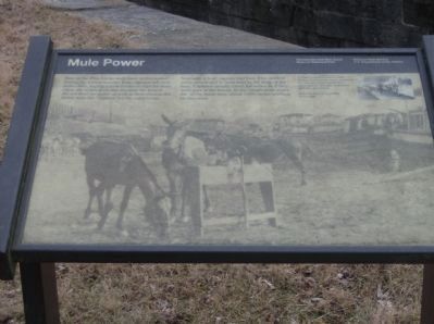
Mule Power
Chesapeake and Ohio National Historical Park
— National Park Service, U.S. Department of the Interior —
Inscription.
“Here at Four Locks mule barn, mules rested during the winter months. Boat captains left their mules here, paying a mule tended to care for them. Often the mules grew thin because the keeper did not feed the mules as well as their owners did. Mules were the ‘engines’ for the canal boats.
Normally, a boat captain had four. Two worked while two rested in their stall in the front of the boat. Captains usually cared for mules as if they were part of the family. In the canal’s peak years, the 1870s, there were about 3,000 mules working on the canal.
Erected by National Park Service, U.S. Department of the Interior.
Topics and series. This historical marker is listed in these topic lists: Animals • Industry & Commerce • Waterways & Vessels. In addition, it is included in the Chesapeake and Ohio (C&O) Canal series list.
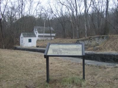
Location. 39° 36.915′ N, 77° 56.902′ W. Marker is in Big Pool, Maryland, in Washington County. Marker is on Four Locks Road, on the left when traveling west. Located along the Chesapeake and Ohio Canal Towpath, at mile 108.6. Touch for map. Marker is in this post office area: Big Pool MD 21711, United States of America. Touch for directions.
Other nearby markers. At least 8 other markers are within 3 miles of this marker, measured as the crow flies. Four Locks (a few steps from this marker); a different marker also named Four Locks (a few steps from this marker); McCoy's Ferry (approx. 1.2 miles away); Lancelot Jacques (approx. 1½ miles away); Dam No. 5 (approx. 1½ miles away); Stonewall Jackson at Dam 5 (approx. 1½ miles away); Protecting Cultural Resources (approx. 1½ miles away); The Federal Signal Station (approx. 2.4 miles away).
More about this marker. Photos on the marker show mules used to move the canal barges.
Additional keywords. Four Locks, Big Pool, Maryland, Chesapeake and Ohio Canal, Chesapeake & Ohio Canal, C&O Canal
Credits. This page was last revised on September 29, 2020. It was originally submitted on January 13, 2009, by Robert H. Moore, II of Winchester, Virginia. This page has been viewed 1,081 times since then and 9 times this year. Photos: 1, 2. submitted on January 13, 2009, by Robert H. Moore, II of Winchester, Virginia. • Craig Swain was the editor who published this page.

