Keyser in Mineral County, West Virginia — The American South (Appalachia)
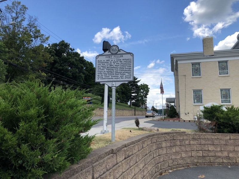
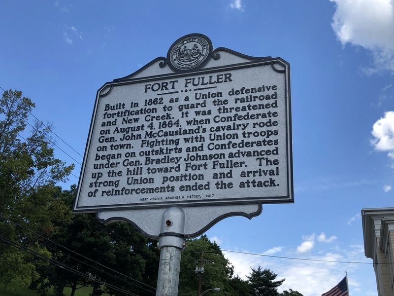
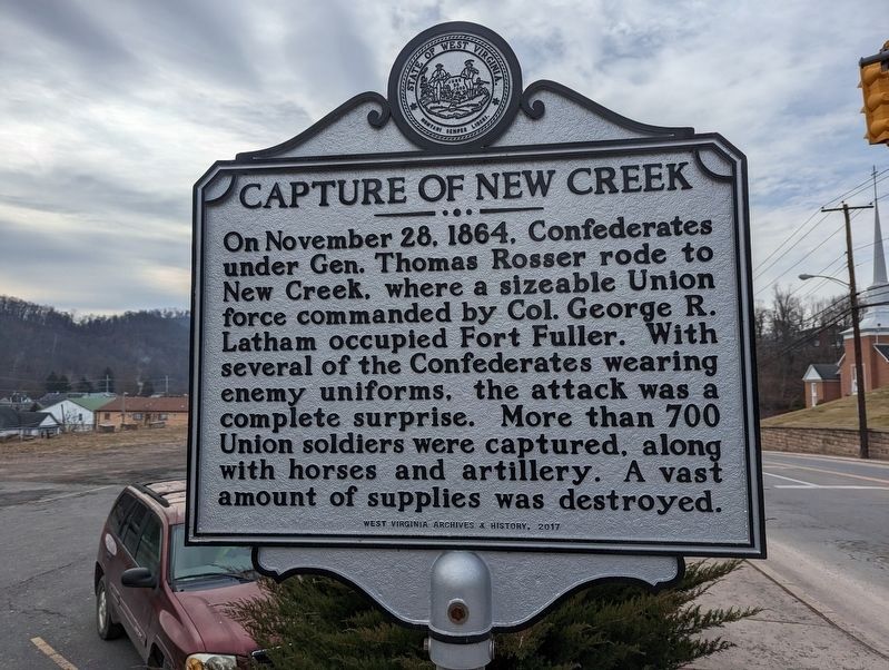
Fort Fuller / Capture of New Creek
Capture of New Creek. On November 28, 1864, Confederates under Gen. Thomas Rosser rode to New Creek, where a sizeable Union force commanded by Col. George R. Latham occupied Fort Fuller. With several of the Confederates wearing enemy uniforms, the attack was a complete surprise. More than 700 Union soldiers were captured, along with horses and artillery. A vast amount of supplies was destroyed.
Erected 2017 by West Virginia Archives & History.
Topics and series. This historical marker is listed in these topic lists: Forts and Castles • War, US Civil. In addition, it is included in the West Virginia Archives and History series list. A significant historical date for this entry is August 4, 1864.
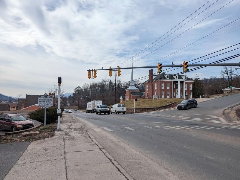
Location. 39° 26.213′ N, 78° 58.868′ W. Marker is in Keyser, West Virginia, in Mineral County. Marker is at the intersection of South Mineral Street (U.S. 220) and State Street, on the right when traveling north on South Mineral Street. Touch for map. Marker is at or near this postal address: 287 S Mineral St, Keyser WV 26726, United States of America. Touch for directions.
Other nearby markers. At least 8 other markers are within walking distance of this marker. Potomac State College (a few steps from this marker); Fort Fuller (about 600 feet away, measured in a direct line); Fort Piano (approx. 0.2 miles away); Fuller (approx. 0.2 miles away); Veterans Memorial (approx. ¼ mile away); Mt. Hope Presbyterian Church & Cemetery (approx. ¼ mile away); Tannery and Shoe Factory (approx. ¼ mile away); Taylor Home (approx. ¼ mile away). Touch for a list and map of all markers in Keyser.

Photographed By Devry Becker Jones (CC0), July 12, 2020
3. Fort Fuller / Capture of New Creek Marker
Credits. This page was last revised on February 8, 2023. It was originally submitted on July 14, 2020, by Devry Becker Jones of Washington, District of Columbia. This page has been viewed 470 times since then and 102 times this year. Photos: 1. submitted on July 14, 2020, by Devry Becker Jones of Washington, District of Columbia. 2. submitted on February 8, 2023, by Mike Wintermantel of Pittsburgh, Pennsylvania. 3. submitted on July 14, 2020, by Devry Becker Jones of Washington, District of Columbia. 4. submitted on February 8, 2023, by Mike Wintermantel of Pittsburgh, Pennsylvania.


