Near Eagle Harbor in Keweenaw County, Michigan — The American Midwest (Great Lakes)
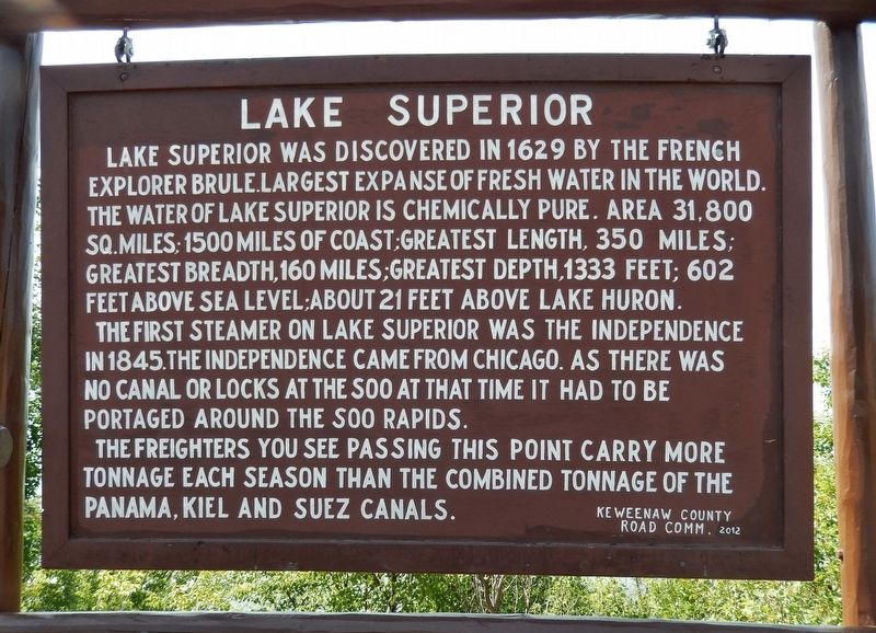
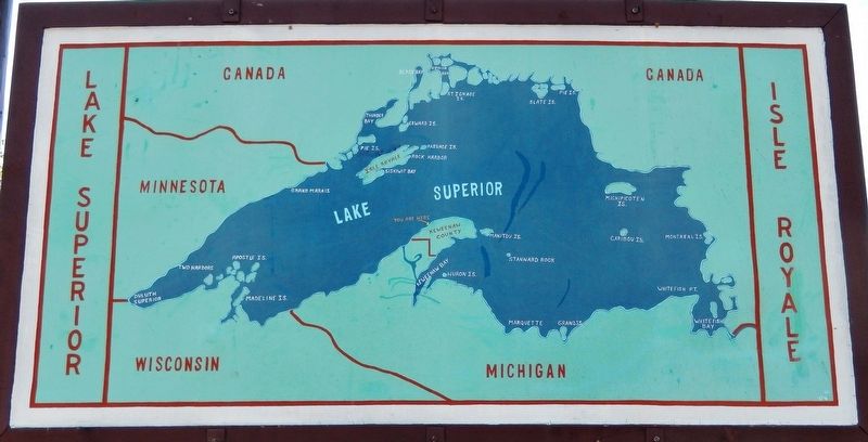
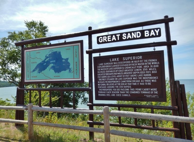
Lake Superior
The first steamer on Lake Superior was the Independence in 1845. The Independence came from Chicago. As there was no canal or locks at the Soo at that time it had to be portaged around the Soo Rapids.
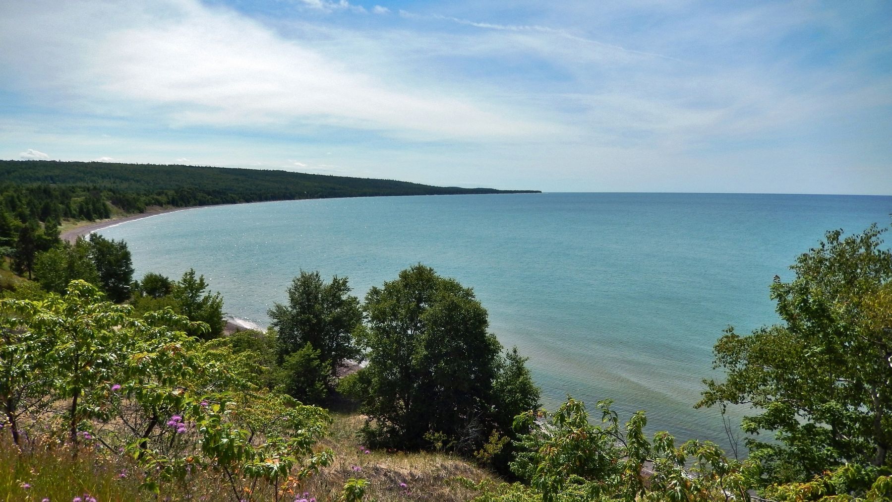
The freighters you see passing this point carry more tonnage each season than the combined tonnage of the Panama, Kiel and Suez canals.
Erected 2012 by Keweenaw County Road Commission.
Topics. This historical marker is listed in these topic lists: Exploration • Industry & Commerce • Waterways & Vessels. A significant historical year for this entry is 1629.
Location. 47° 26.648′ N, 88° 13.011′ W. Marker is near Eagle Harbor, Michigan, in Keweenaw County. Marker is on Sand Dunes Drive (State Highway 26) 3.1 miles west of Front Street, on the right when traveling west. Marker is located in a pull-out on the north side of the highway, overlooking Lake Superior. Touch for map. Marker is in this post office area: Mohawk MI 49950, United States of America. Touch for directions.
Other nearby markers. At least 8 other markers are within 3 miles of this marker, measured as the crow flies. The Eagle Harbor General Store (approx. 2.7 miles away); Eagle Harbor House (approx. 2.8 miles away); Eagle Harbor (approx. 2.8 miles away); Iron-Stock Anchor (approx. 2.9 miles away); Eagle Harbor Lighthouse and Museums (approx. 2.9 miles away); Wood-Stock Anchor (approx. 2.9 miles away); Riveted Bell Buoy (approx. 2.9 miles away); Fog Signal Building (approx. 2.9 miles away). Touch for a list and map of all markers in Eagle Harbor.
Also see . . .
1. Étienne Brűlé (Wikipedia). Étienne Brulé was the first European explorer to journey beyond the St. Lawrence River into what is now known as Canada. Brűlé became an interpreter and guide for Samuel de Champlain, who later sent Brűlé on a number of exploratory missions, among which he is thought to have preceded Champlain to the Great Lakes. Brűlé probably visited four of the five Great Lakes — Lake Huron, Lake Superior, Lake Erie, Lake Ontario — and may have also seen Lake Michigan. Brűlé was more than likely the first white European to complete these expeditions across North America. (Submitted on July 15, 2020, by Cosmos Mariner of Cape Canaveral, Florida.)
2. Independence (Wikipedia). The Independence was a propeller-driven steamboat that was the first steam-driven vessel to run on Lake Superior in October 1845, initiating the era of steam navigation on that lake. During her career, she saw service shipping passengers and supplies to the mining settlements along the south shores of the lake and often returning with copper ore. Her eight-year career on Lake Superior ended when her boilers exploded, killing several aboard, and ultimately sending the steamboat to the bottom in pieces. (Submitted on July 15, 2020, by Cosmos Mariner of Cape Canaveral, Florida.)
Credits. This page was last revised on July 15, 2020. It was originally submitted on July 14, 2020, by Cosmos Mariner of Cape Canaveral, Florida. This page has been viewed 125 times since then and 8 times this year. Photos: 1, 2, 3, 4. submitted on July 15, 2020, by Cosmos Mariner of Cape Canaveral, Florida.


