Danville in Contra Costa County, California — The American West (Pacific Coastal)
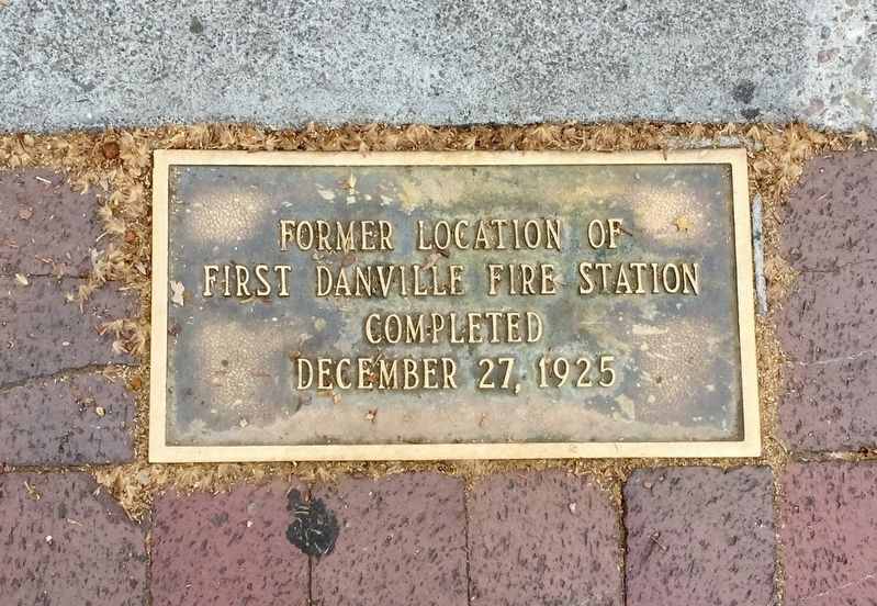
First Danville Fire Station
first Danville Fire Station
Completed
December 27, 1925
Topics. This historical marker is listed in this topic list: Government & Politics. A significant historical date for this entry is December 27, 1925.
Location. 37° 49.326′ N, 122° 0.015′ W. Marker is in Danville, California, in Contra Costa County. Marker is on Hartz Avenue north of East Prospect Avenue, on the right when traveling north. Touch for map. Marker is at or near this postal address: 356 Hartz Avenue, Danville CA 94526, United States of America. Touch for directions.
Other nearby markers. At least 8 other markers are within walking distance of this marker. McDonald's Drug Store (a few steps from this marker); Xavier’s Shoe Store (within shouting distance of this marker); Danville Veterans Memorial (within shouting distance of this marker); A Purple Heart Community (within shouting distance of this marker); Close Family Property (within shouting distance of this marker); Veterans Memorial Building (within shouting distance of this marker); Cooley House (about 300 feet away, measured in a direct line); The Danville Hotel (about 300 feet away). Touch for a list and map of all markers in Danville.
Credits. This page was last revised on July 15, 2020. It was originally submitted on July 15, 2020, by Andrew Ruppenstein of Lamorinda, California. This page has been viewed 146 times since then and 6 times this year. Photos: 1, 2. submitted on July 15, 2020, by Andrew Ruppenstein of Lamorinda, California.

