Harrodsburg in Mercer County, Kentucky — The American South (East South Central)
William McBride House
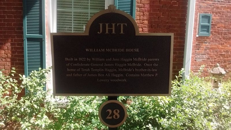
Photographed by Tom Bosse, July 6, 2019
1. William McBride House Marker
Erected by James Harrod Trust. (Marker Number 28.)
Topics and series. This historical marker is listed in this topic list: Notable Buildings. In addition, it is included in the Kentucky, Harrodsburg, James Harrod Trust series list. A significant historical year for this entry is 1822.
Location. 37° 45.681′ N, 84° 50.662′ W. Marker is in Harrodsburg, Kentucky, in Mercer County. It is at the intersection of West Poplar Street and South Chiles Street, on the right when traveling west on West Poplar Street. Touch for map. Marker is at or near this postal address: 125 W Poplar St, Harrodsburg KY 40330, United States of America. Touch for directions.

Regionally, this marker is in the Bluegrass Region. It is also in the American South and specifically in the Upper South. Globally, it is in North America, the Western Hemisphere, the Western World, and the Anglosphere. Historically,
this page online
Other nearby markers. At least 8 other markers are within walking distance of this marker: Dr. A. D. Price House (within shouting distance of this marker); United Methodist Church and Parsonage (within shouting distance of this marker); The Home of Rebecca Hart (within shouting distance of this marker); A General's Prayer (within shouting distance of this marker); Lawyer’s Row (within shouting distance of this marker); Mercer County Before Kentucky Became a State (within shouting distance of this marker); Morgan Row - 1807 (about 300 feet away, measured in a direct line); Blue Front Building (about 300 feet away). Touch for a list and map of all markers in Harrodsburg.
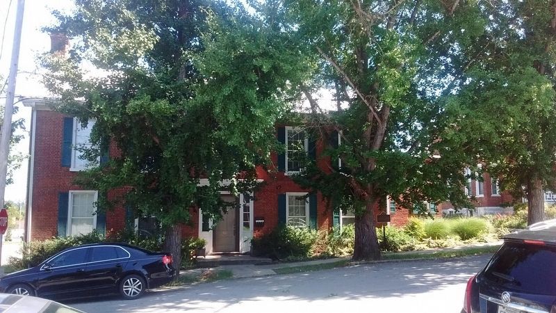
Photographed by Tom Bosse, July 6, 2019
2. William McBride House Marker
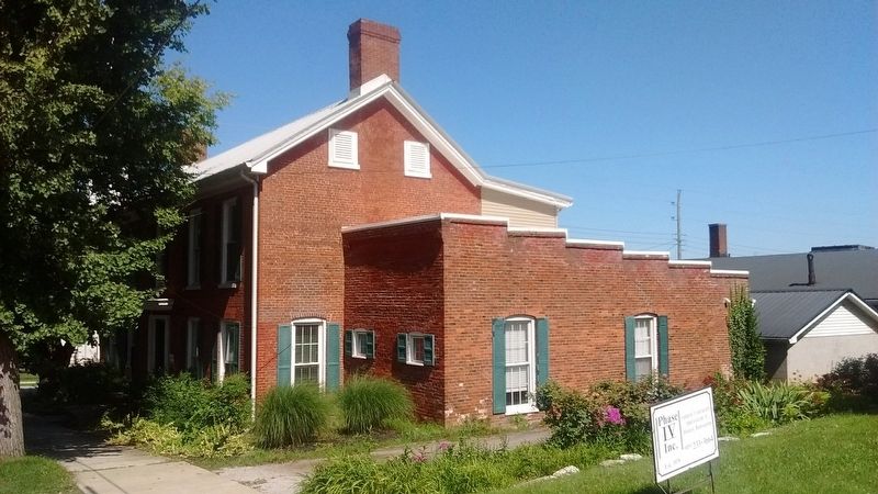
Photographed by Tom Bosse, July 6, 2019
3. William McBride House Marker
Credits. This page was last revised on July 16, 2020. It was originally submitted on July 15, 2020, by Tom Bosse of Jefferson City, Tennessee. This page has been viewed 451 times since then and 41 times this year. Photos: 1, 2, 3. submitted on July 15, 2020, by Tom Bosse of Jefferson City, Tennessee. • Devry Becker Jones was the editor who published this page.
