Copper Harbor in Keweenaw County, Michigan — The American Midwest (Great Lakes)
Fort Wilkins State Park and Historic Complex
Inscription.
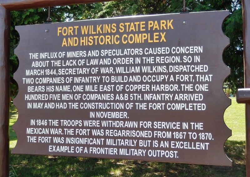
The influx of miners and speculators caused concern about the lack of law and order in the region. So in March 1844, Secretary of War, William Wilkins, dispatched two companies of infantry to build and occupy a fort, that bears his name, one mile east of Copper Harbor. The one hundred five men of companies A & B 5th Infantry arrived in May and had the construction of the fort completed in November.
In 1846 the troops were withdrawn for service in the Mexican War. The fort was regarrisoned from 1867 to 1870. The fort was insignificant militarily but is an excellent example of a frontier military outpost.
Topics and series. This historical marker is listed in these topic lists: Forts and Castles • Settlements & Settlers • War, Mexican-American. In addition, it is included in the Works Progress Administration (WPA) projects series list. A significant historical month for this entry is March 1844.
Location. 47° 28.081′ N, 87° 53.358′ W. Marker is in Copper Harbor, Michigan, in Keweenaw County. Marker is at the intersection of Gratiot Street (U.S. 41) and 3rd Street, on the right when traveling east on Gratiot Street. Touch for map. Marker is in this post office area: Copper Harbor MI 49918, United States of America. Touch for directions.
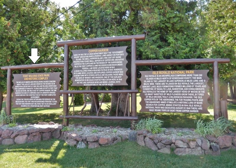
Other nearby markers. At least 8 other markers are within one mile of this marker, measured as the crow flies. Copper Harbor (here, next to this marker); Isle Royale National Park (here, next to this marker); The Estivant Pines (about 300 feet away, measured in a direct line); Tracing the Story (approx. 0.4 miles away); "A Rallying Point for Copper Adventurers" (approx. 1.1 miles away); The Copper Harbor Lighthouse (approx. 1.1 miles away); Shipwreck (approx. 1.1 miles away); "The Astor will never leave Copper Harbor." (approx. 1.1 miles away). Touch for a list and map of all markers in Copper Harbor.
Also see . . .
1. Fort Wilkins Historic State Park. Built in 1844, Fort Wilkins was intended to keep law and order during the Copper Rush. The fort tells the story of life on the northern frontier during the mid-1800s. The park also includes the Copper Harbor lighthouses built in 1866 and 1868. (Submitted on July 16, 2020, by Cosmos Mariner of Cape Canaveral, Florida.)
2. Fort Wilkins Historic State Park (Wikipedia). In the early 1840s, a copper rush took place that saw a flood of fortune-seekers moving to the peninsula. The U.S. government was concerned about possible disorder and violence, and lake shipping interests asked the government to build
an aid to navigation so that essential supplies could be shipped in and the copper moved out. However, the fort proved to be unnecessary. The Chippewa largely accepted the influx, and the miners were law-abiding. (Submitted on July 16, 2020, by Cosmos Mariner of Cape Canaveral, Florida.)
3. The Fort Wilkins Story. In 1923, the fort and adjacent lighthouse became a State Park. The park personnel stabilized the few remaining buildings and supervised the reconstruction of the fort by the Work Projects Administration (WPA). The work was completed between 1939 and 1942. The improvements included a 200 car parking area, upgraded campsites, water and sewer systems, a park store and campground shower building. (Submitted on July 16, 2020, by Cosmos Mariner of Cape Canaveral, Florida.)
Credits. This page was last revised on July 16, 2020. It was originally submitted on July 16, 2020, by Cosmos Mariner of Cape Canaveral, Florida. This page has been viewed 151 times since then and 10 times this year. Photos: 1, 2, 3. submitted on July 16, 2020, by Cosmos Mariner of Cape Canaveral, Florida.


