Near Aspen in Pitkin County, Colorado — The American Mountains (Southwest)
Early Travel Over the Pass
[Captions]
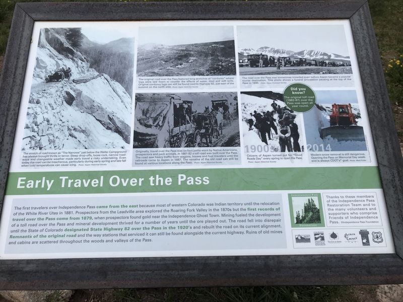
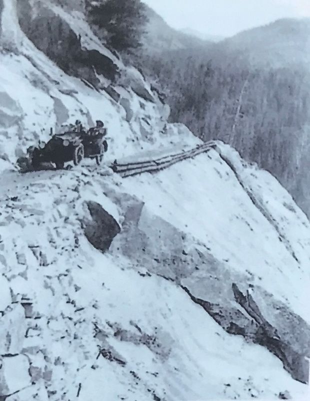
Left: The stretch of road known as "The Narrows” just below the Weller Campground has always brought thrills or terror. Steep drop-offs, loose rock, narrow roadways and changeable weather made early travel a risky undertaking. Even today the road can be treacherous, particularly during early spring and late fall when cold temperatures can cause icing. Photo: Aspen Historical Society
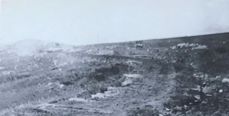
Top middle: The original road over the Pass featured long stretches of "corduroy” where logs were laid down to counter the effects of water, mud and soft soils. Original corduroy logs can still be found next to Highway 82, just east of the summit on the north side. Photo: Aspen Historical Society
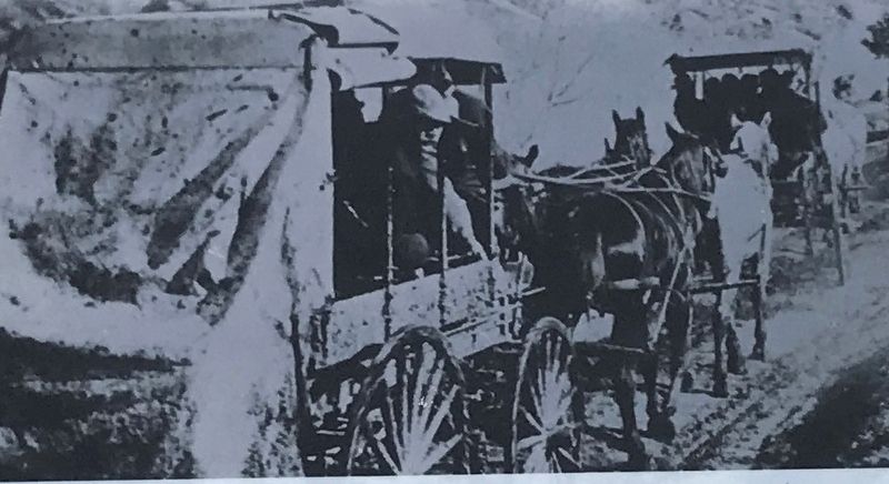
Bottom middle: Originally, travel over the Pass was on foot paths worn by Native Americans, prospectors and pack animals. In 1881-82 a toll road was built over the Pass. The road saw heavy traffic from wagons, horses and foot travelers until the railroads came to Aspen in 1887. The remains of the old road can still be found at various locations along the Pass. Photo: Aspen Historical Society
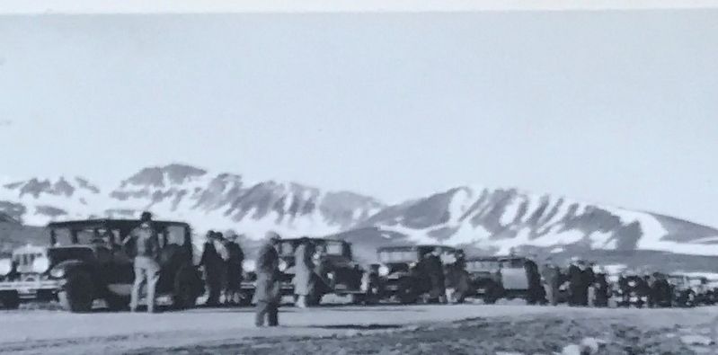
Top right: The road over the Pass was sometimes crowded even before Aspen became a popular tourist destination. This photo shows a funeral procession pausing at the top of the Pass in 1930. Photo: Aspen Historical Society
Bottom right: (Left) Citizens of Aspen turned out for "Good Roads Day” every spring to open the Pass. Photo: Aspen Historical Society (Right) Modern snow removal is still dangerous. Opening the Pass on Memorial Day weekend is always CDOT's goal. Photo: Mark Fuller
Did you know? The original toll road (1882-87) over the Pass
Photographed By Duane and Tracy Marsteller, July 4, 2020
2. Early Travel Over the Pass Marker Detail
The stretch of road known as "The Narrows” just below the Weller Campground
has always brought thrills or terror. Steep drop-offs, loose rock, narrow roadways and changeable weather made early travel a risky undertaking. Even today the road can be treacherous, particularly during early spring and late fall when cold temperatures can cause icing. Photo: Aspen Historical Society
Erected by Independence Pass Foundation.
Topics. This historical marker is listed in this topic list: Roads & Vehicles. A significant historical year for this entry is 1881.
Location. 39° 6.497′ N, 106° 33.835′ W. Marker is near Aspen, Colorado, in Pitkin County. Marker is on Colorado 82, on the left when traveling west. Marker is approximately 17 miles east of Aspen, in the White River National Forest. The road is closed October-May. Touch for map. Marker is in this post office area: Almont CO 81210, United States of America. Touch for directions.
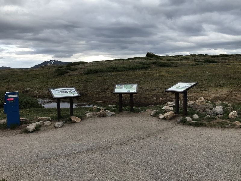
Other nearby markers. At least 8 other markers are within 3 miles of this marker, measured as the crow flies. The Continental Divide (here, next to this marker); The Environment (here, next to this marker); Restoring the "Top Cut" (approx. 1.3 miles away); Independence Pass Foundation (approx. 1.3 miles away); Welcome to the Ghost Town of Independence (approx. 2.1 miles away); a different marker also named Welcome to the Ghost Town of Independence (approx. 2.1 miles away); Independence Townsite (approx. 2.1 miles away); Tent City (approx. 2.2 miles away). Touch for a list and map of all markers in Aspen.
Photographed By Duane and Tracy Marsteller, July 4, 2020
3. Early Travel Over the Pass Marker Detail
The original road over the Pass featured long stretches of "corduroy” where logs were laid down to counter the effects of water, mud and soft soils. Original corduroy logs can still be found next to Highway 82, just east of the summit on the north side. Photo: Aspen Historical Society
Photographed By Duane and Tracy Marsteller, July 4, 2020
4. Early Travel Over the Pass Marker Detail
Originally, travel over the Pass was on foot paths worn by Native Americans, prospectors and pack animals. In 1881-82 a toll road was built over the Pass.
The road saw heavy traffic from wagons, horses and foot travelers until the railroads came to Aspen in 1887. The remains of the old road can still be found at various locations along the Pass. Photo: Aspen Historical Society
Photographed By Duane and Tracy Marsteller, July 4, 2020
5. Early Travel Over the Pass Marker Detail
The road over the Pass was sometimes crowded even before Aspen became a popular tourist destination. This photo shows a funeral procession pausing at the top of the Pass in 1930. Photo: Aspen Historical Society
Credits. This page was last revised on July 17, 2020. It was originally submitted on July 16, 2020, by Duane and Tracy Marsteller of Murfreesboro, Tennessee. This page has been viewed 114 times since then and 6 times this year. Photos: 1, 2, 3, 4, 5, 6. submitted on July 16, 2020, by Duane and Tracy Marsteller of Murfreesboro, Tennessee. • Andrew Ruppenstein was the editor who published this page.
