Downtown East in Minneapolis in Hennepin County, Minnesota — The American Midwest (Upper Plains)
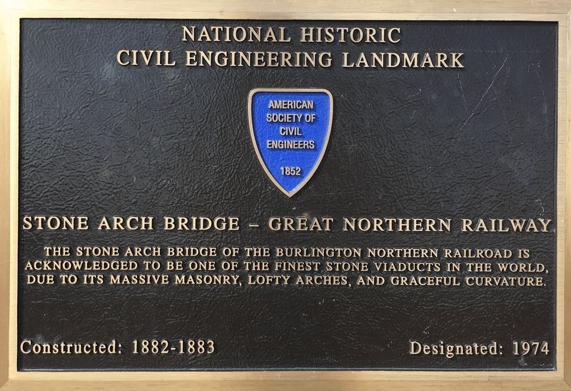
Stone Arch Bridge - Great Northern Railway
National Historic Civil Engineering Landmark
Photographed by Connor Olson, August 5, 2019
1. Stone Arch Bridge - Great Northern Railway Marker
Constructed: 1882-1883
Erected 1974 by American Society of Civil Engineers.
Topics and series. This historical marker is listed in this topic list: Bridges & Viaducts. In addition, it is included in the ASCE Civil Engineering Landmarks series list.
Location. 44° 58.837′ N, 93° 15.274′ W. Marker is in Minneapolis, Minnesota, in Hennepin County. It is in Downtown East. It can be reached from West River Parkway. Located on the Stone Arch pedestrian bridge. Touch for map. Marker is in this post office area: Minneapolis MN 55401, United States of America. Touch for directions.

Regionally, this marker is in the Twin Cities Metropolitan Area. It is also in the American Midwest, in the Corn Belt, and in the Great River Road Region. Globally, it is in North America, the Western Hemisphere, the Western World, and the Anglosphere. Historically, it finds itself in what was
this page online
Other nearby markers. At least 8 other markers are within walking distance of this marker: Changing the Shape of the Falls (within shouting distance of this marker); The West Side Milling District (about 300 feet away, measured in a direct line); The Heritage of Hydro (about 300 feet away); Beneath the Surface (about 400 feet away); Tailrace Skyline (about 400 feet away); What is Urban Archaeology? (about 600 feet away); Sawmilling: The City's First Industry (about 600 feet away); Bridges of the St. Anthony Falls Area (about 700 feet away). Touch for a list and map of all markers in Minneapolis.
Photographed by Connor Olson, August 5, 2019
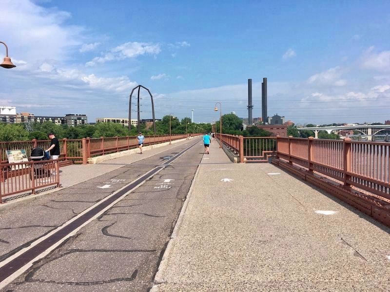
2. The Stone Arch Bridge is now a pedestrian walkway.
Credits. This page was last revised on April 24, 2024. It was originally submitted on July 16, 2020, by Connor Olson of Menomonee Falls, Wisconsin. This page has been viewed 618 times since then and 46 times this year. Photos: 1. submitted on July 16, 2020, by Connor Olson of Menomonee Falls, Wisconsin. 2. submitted on August 5, 2020, by Connor Olson of Menomonee Falls, Wisconsin. • Mark Hilton was the editor who published this page.
Editor’s want-list for this marker. A wide shot of the marker and its surroundings • Can you help?
