Centreville in Fairfax County, Virginia — The American South (Mid-Atlantic)
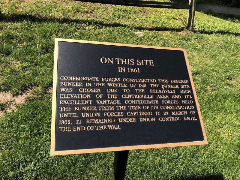
On This Site
In 1861
Topics. This historical marker is listed in this topic list: War, US Civil. A significant historical month for this entry is March 1862.
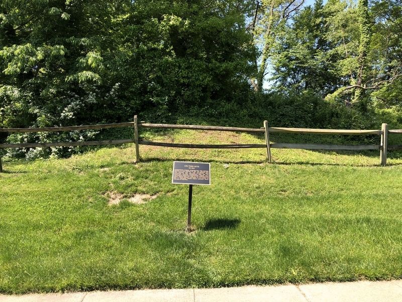
Location. 38° 50.742′ N, 77° 25.416′ W. Marker is in Centreville, Virginia, in Fairfax County. It is at the intersection of Lawrence Mill Lane and Wharton Lane, on the right when traveling south on Lawrence Mill Lane. Touch for map. Marker is in this post office area: Centreville VA 20120, United States of America. Touch for directions.

Regionally, this marker is in the Washington Metropolitan Area and in Northern Virginia. It is also in the American South, specifically in the Upper South, in the Mid-Atlantic, and on the Eastern Seaboard. Globally, it is in the North Atlantic Region, North America, the Western Hemisphere, the
this page online
Other nearby markers. At least 8 other markers are within walking distance of this marker: Centreville, Virginia (approx. 0.2 miles away); A Place on the High Ground (approx. ¼ mile away); Mount Gilead (approx. 0.3 miles away); Mount Gilead Historic Site (approx. 0.3 miles away); St. John's Episcopal Church (approx. 0.3 miles away); a different marker also named St. John's Episcopal Church (approx. 0.3 miles away); Historic Centreville Park (approx. 0.4 miles away); Minnie Minter Carter Saunders (approx. 0.4 miles away). Touch for a list and map of all markers in Centreville.
Also see . . . Map of Centreville Fort Sites and Mount Gilead. Fairfax County Park Authority (Submitted on January 14, 2009.)
Additional commentary.
1. Chantilly Road Battery
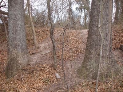
This parcel contains well preserved remnants of a Civil War era battery or Bastion. It is also known as the West Fort. Future
January 14, 2009
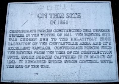
2. On This Site In 1861 Marker
This is a previous version of the marker.
From the Historic Centreville Park Draft Master Plan, p. 20.
— Submitted January 14, 2009.
2. The information on this sign is completely wrong
The information on this sign is completely wrong. It was not a bunker, and it was not built by the Confederate army in 1861, but by the Union Army some time after the Confederate withdrawal in March, 1862. The information provided by The Historic Centreville Park Draft Master Plan of 2009 is not accurate regarding this site.
Union engineer Lt. Miles Daniel McAlester, of the U. S. Army Engineers, surveyed all of the fortification sites a week after the Confederate withdrawal in March, 1862. He also created an extremely detailed map of the fortifications (of which I have obtained a copy from the National Archives in College Park, Maryland). The map clearly shows an empty space where the above mentioned redoubt should have been, and across from the Confederate-built Apex Fort Redoubt on Wharton Lane. The Confederate bunker was also not mentioned
— Submitted July 1, 2025, by John Carter of Oakton, Virginia.
January 14, 2009
4. Footpath over the side of the preserved earthworks battery
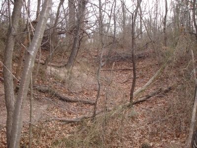
January 14, 2009
5. Earthworks at the Chantilly Road Battery
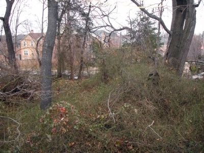
January 14, 2009
6. Northeast corner of the battery
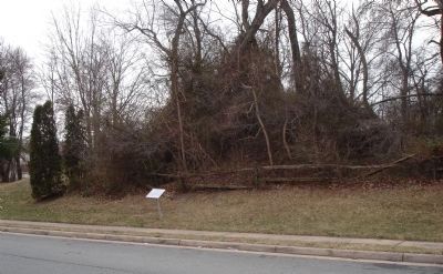
January 14, 2009
7. The previous version of this marker
Credits. This page was last revised on July 1, 2025. It was originally submitted on January 14, 2009. This page has been viewed 2,066 times since then and 28 times this year. Photos: 1. submitted on May 15, 2021, by Devry Becker Jones of Washington, District of Columbia. 2. submitted on January 14, 2009. 3. submitted on May 15, 2021, by Devry Becker Jones of Washington, District of Columbia. 4, 5, 6, 7. submitted on January 14, 2009. • Craig Swain was the editor who published this page.
