Harrodsburg in Mercer County, Kentucky — The American South (East South Central)
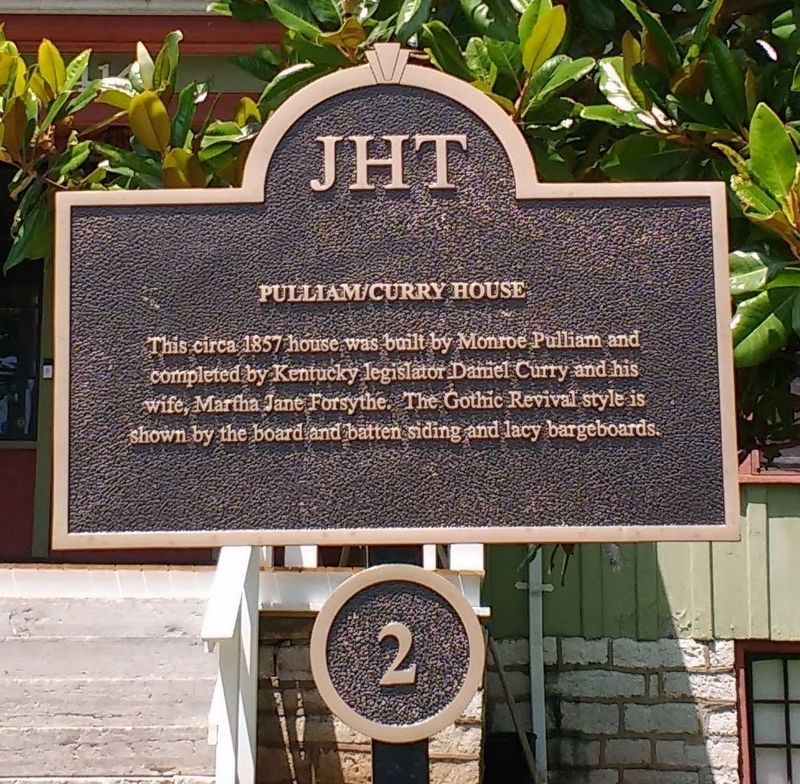
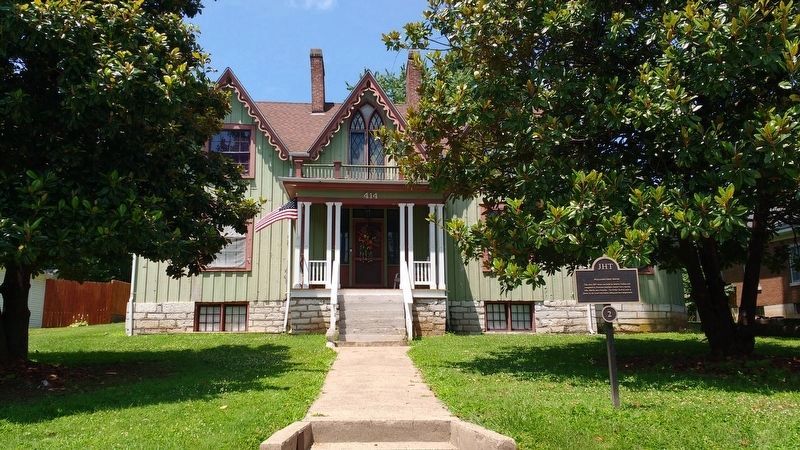
Pulliam / Curry House
Erected by James Harrod Trust. (Marker Number 2.)
Topics and series. This historical marker is listed in these topic lists: Architecture • Government & Politics. In addition, it is included in the Kentucky, Harrodsburg, James Harrod Trust series list. A significant historical year for this entry is 1857.
Location. 37° 46.041′ N, 84° 50.571′ W. Marker is in Harrodsburg, Kentucky, in Mercer County. Marker is at the intersection of North Main Street and Price Avenue, on the left when traveling north on North Main Street. Touch for map. Marker is at or near this postal address: 414 North Main Street, Harrodsburg KY 40330, United States of America. Touch for directions.
Other nearby markers. At least 8 other markers are within walking distance of this marker. Tewmey / Armstrong House (about 300 feet away, measured in a direct line); Courtview (about 300 feet away); Confederate Monument (about 600 feet away); Spring Hill Cemetery (about 600 feet away); Dr. James Harrison Moore House (about 700 feet away); Forest Pillars (approx. 0.2 miles away); Diamond Point (approx. 0.2 miles away); Rykon (approx. 0.2 miles away). Touch for a list and map of all markers in Harrodsburg.
Credits. This page was last revised on January 12, 2021. It was originally submitted on July 18, 2020, by Tom Bosse of Jefferson City, Tennessee. This page has been viewed 155 times since then and 11 times this year. Photos: 1, 2. submitted on July 18, 2020, by Tom Bosse of Jefferson City, Tennessee. • Devry Becker Jones was the editor who published this page.

