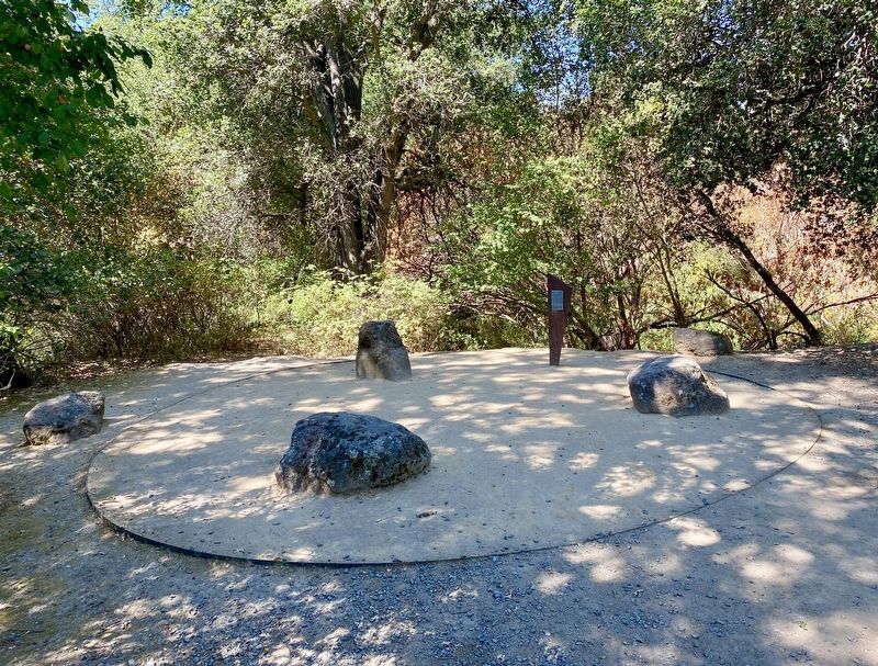
The Tatcan People
In the 1700's the Tatcan, Bay Miwok speaking people, lived in the watershed of the San Ramon Creek. They had an intimate relationship with the land and a village organization with rights to pray, gather, hunt and fish within their territory.
Today descendants of the
Bay Area's First people
continue to keep the memory
and knowledge of their
ancestors alive.
Topics. This historical marker is listed in this topic list: Native Americans.
Location. 37° 50.419′ N, 122° 1.21′ W. Marker is in Alamo, California, in Contra Costa County. Marker can be reached from La Gonda Way. Touch for map. Marker is at or near this postal address: 1025 La Gonda Way, Alamo CA 94507, United States of America. Touch for directions.
Other nearby markers. At least 8 other markers are within 2 miles of this marker, measured as the crow flies. Hap Magee Ranch (approx. 0.2 miles away); The Railroad Put Alamo on the Map (approx. 0.3 miles away); Alamo Cemetery (approx. 0.4 miles away); Captain Pedro Fages Trail (approx. half a mile away); Stone Valley (approx. one mile away); Alamo Grammar School (approx. one mile away);
More about this marker. The marker is located within Hap MaGee Ranch park, in a small clearing between San Ramon Creek and the small dog park (that is, the park for small dogs, which is adjacent to the dog park). It's easy to miss.
Also see . . . They Came First - The Indians of the San Ramon Valley (cocohistory.org). (Submitted on July 18, 2020.)
Credits. This page was last revised on July 18, 2020. It was originally submitted on July 18, 2020, by Andrew Ruppenstein of Lamorinda, California. This page has been viewed 569 times since then and 80 times this year. Photos: 1, 2. submitted on July 18, 2020, by Andrew Ruppenstein of Lamorinda, California.

