Parsons in Tucker County, West Virginia — The American South (Appalachia)
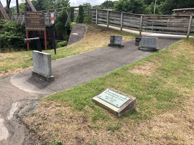
Flood of November 4-5, 1985 Memorial
Rocks of destruction shaped with pride, form an ark of strength for those who survived, and a monument of glory for those who died, in the Flood of November 4-5, 1985.
Cleta M. Long
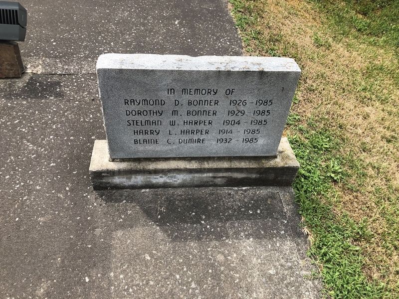
Raymond D. Bonner 1926 - 1985
Dorothy M. Bonner 1929 - 1985
Stelman W. Harper 1904 - 1985
Harry L. Harper 1914 - 1985
Blaine C. Dumire 1932 - 1985
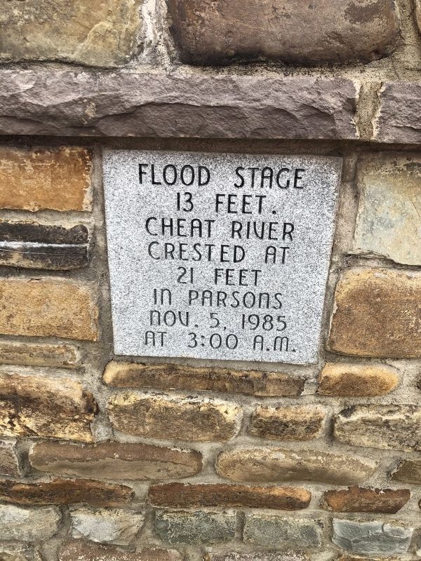
13 Feet.
Cheat River
crested at
21 feet
in Parsons
Nov. 5, 1985
at 3:00 a.m.
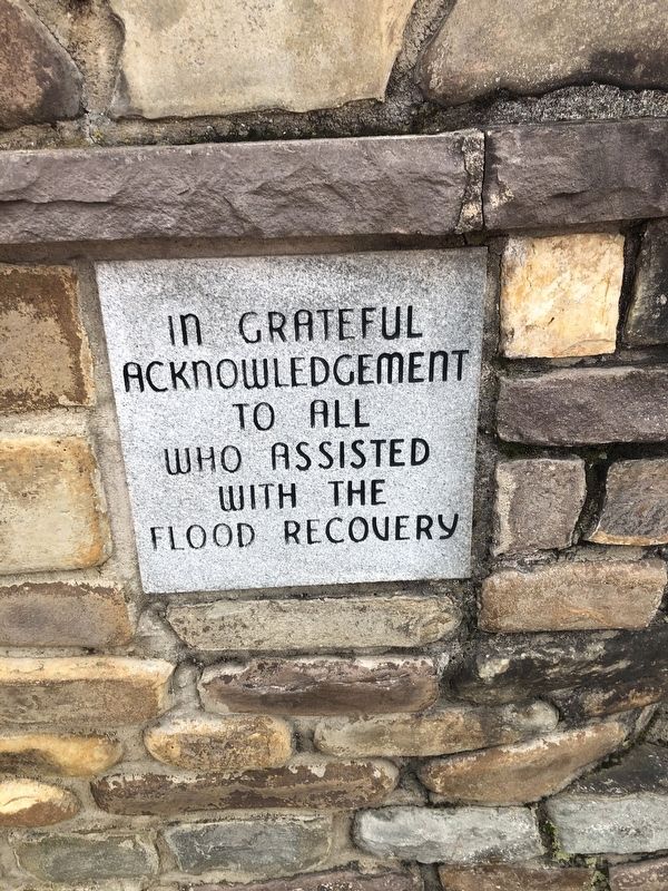
In grateful
acknowledgment
to all
who assisted
with the
flood recovery
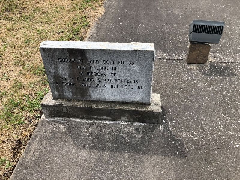
Erected 2000 by Ben F. Long III, in memory of the B.F. Long & Co, Founders, B. Frank Long Sr. & B.F. Long Jr.
Topics. This historical marker and memorial is listed in these topic lists: Disasters • Waterways & Vessels. A significant historical date for this entry is November 5, 1985.
Location. 39° 5.838′ N, 79° 40.713′ W. Marker is in Parsons, West Virginia, in Tucker County. Marker is at the intersection of 1st Street (U.S. 219) and Water Street, on the left when traveling west on 1st Street. Touch for map. Marker is at or near this postal address: 339 1st St, Parsons WV 26287, United States of America. Touch for directions.
Other nearby markers. At least 8 other markers are within walking distance of this marker . Tucker County Bank Building (about 400 feet away, measured in a direct line); Corrick's Ford Battle (about 500 feet away); Tucker County Courthouse (about 500 feet away); Williams v. Board of Education Case (about 500 feet away); We Are Free Because You Were Brave! (about 500 feet away); Tucker County Jail (about 600 feet away); Parsons / Corrick's Ford (about 700 feet away); In Memory of All Vietnam Veterans (approx. 0.2 miles away). Touch for a list and map of all markers in Parsons.
Credits. This page was last revised on July 18, 2020. It was originally submitted on July 18, 2020, by Devry Becker Jones of Washington, District of Columbia. This page has been viewed 241 times since then and 43 times this year. Photos: 1, 2, 3, 4, 5, 6. submitted on July 18, 2020, by Devry Becker Jones of Washington, District of Columbia.

