Near Red Mountain in Kern County, California — The American West (Pacific Coastal)
The Kelly Silver Mine
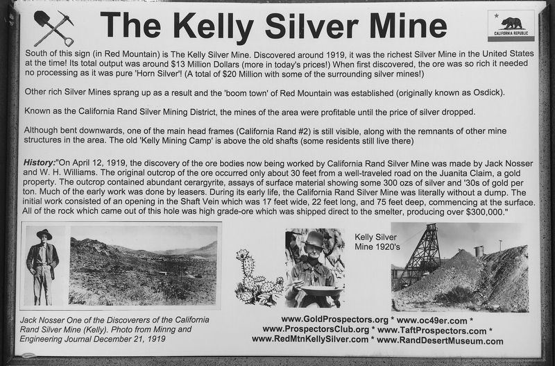
South of this sign (in Red Mountain) is The Kelly Silver Mine. Discovered around 1919, it was the richest Silver Mine in the United States at the time! Its total output was around $13 Million Dollars (more in today's prices!) When first discovered, the ore was so rich it needed no processing as it was pure 'Horn Silver'! (A total of $20 Million with some of the surrounding silver mines!)
Other rich Silver Mines sprang up as a result and the 'boom town' of Red Mountain was established (originally known as Osdick).
Known as the California Rand Silver Mining District, the mines of the area were profitable until the price of silver dropped.
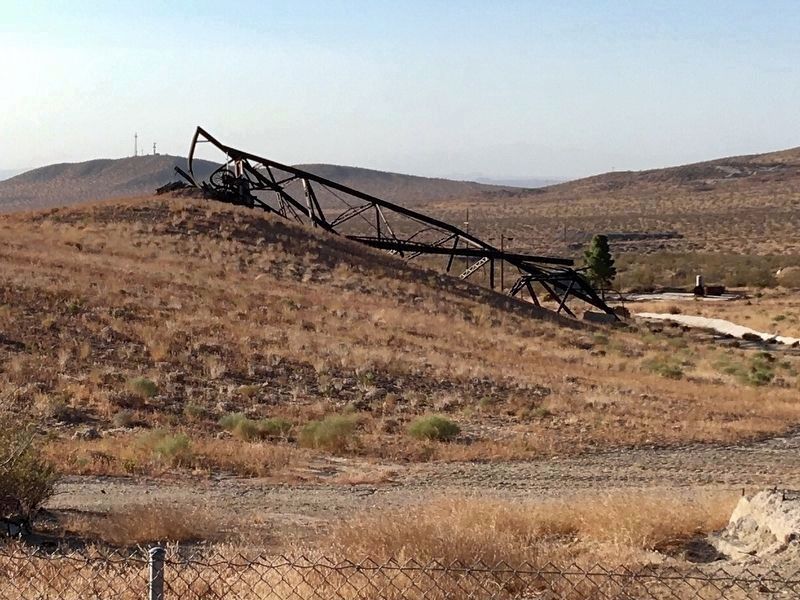
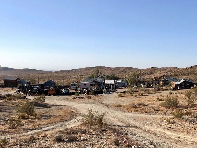
Although bent downwards, one of the main head frames (California Rand #2) is still visible, along with the remnants of other mine structures in the area. The old 'Kelly Mining Camp' is above the old shafts (some residents still live there)
History: "On April 12, 1919, the discovery of the ore bodies now being worked by California Rand Silver Mine was made by Jack Nosser and W. H. Williams. The original outcrop of the ore occurred only about 30 feet from a well-traveled road on the Juanita Claim, a gold property. The outcrop contained abundant cerargyrite, assays of surface material showing some 300 ozs of silver and '30s of gold per ton. Much of the early work was done by leasers. During its early life, the California Rand Silver Mine was literally without a dump. The initial work consisted of an opening in the Shaft Vein which was 17 feet wide, 22 feet long, and 75 feet deep, commencing at the surface. All of the rock which came out of this hole was high grade ore which was shipped direct to the smelter, producing over $300,000."
Topics. This historical marker is listed in these topic lists: Industry & Commerce • Natural Resources. A significant historical date for this entry is April 12, 1919.
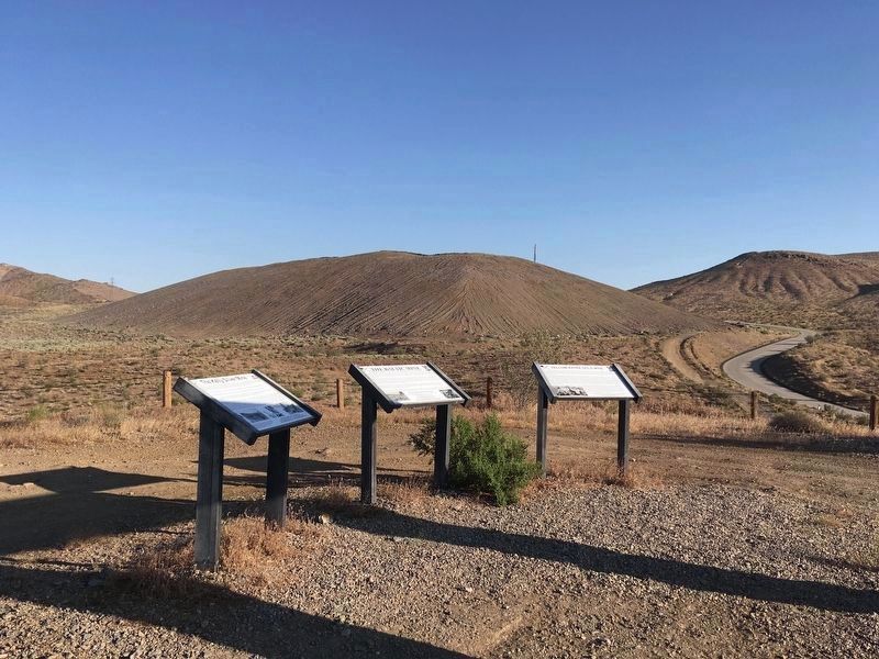
Location. 35° 21.051′ N, 117° 37.905′ W. Marker is near Red Mountain, California, in Kern County. Marker is on Red Mountain Road, 0.8 miles west of U.S. 395, on the left when traveling west. Located at the end of an unmarked dirt road, at the top of a hill. Touch for map. Marker is in this post office area: Randsburg CA 93554, United States of America. Touch for directions.
Other nearby markers. At least 8 other markers are within 2 miles of this marker, measured as the crow flies. The Baltic Mine (here, next to this marker); Yellow Aster Gold Mine (here, next to this marker); a different marker also named Kelly Silver Mine (approx. 0.7 miles away); The Owl Hotel (approx. 0.7 miles away); Silver Dollar Saloon (approx. 0.8 miles away); The King Solomon Mine (approx. 1.2 miles away); Rand District Community Cemetery (approx. 1.3 miles away); Rand Mining District (approx. 1.8 miles away). Touch for a list and map of all markers in Red Mountain.
Also see . . . RedMtnKellySilver.com. Local mining history. (Submitted on July 18, 2020.)
Credits. This page was last revised on October 30, 2020. It was originally submitted on July 18, 2020, by Craig Baker of Sylmar, California. This page has been viewed 386 times since then and 55 times this year. Photos: 1, 2. submitted on July 18, 2020, by Craig Baker of Sylmar, California. 3, 4. submitted on October 29, 2020, by Craig Baker of Sylmar, California. • J. Makali Bruton was the editor who published this page.


