Eagle Harbor in Keweenaw County, Michigan — The American Midwest (Great Lakes)
Eagle Harbor Entrance Channel and Range Lights
Inscription.
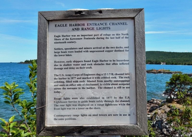
Eagle Harbor was an important port of refuge on this North Shore of the Keweenaw Peninsula during the last half of the nineteenth century.
Settlers, speculators and miners arrived at the two docks, and large boats were loaded with unprocessed copper destined for the lower lakes.
However, early shippers found Eagle Harbor to be hazardous due to shallow water and rock obstacles that often inflicted damage and delay on their craft.
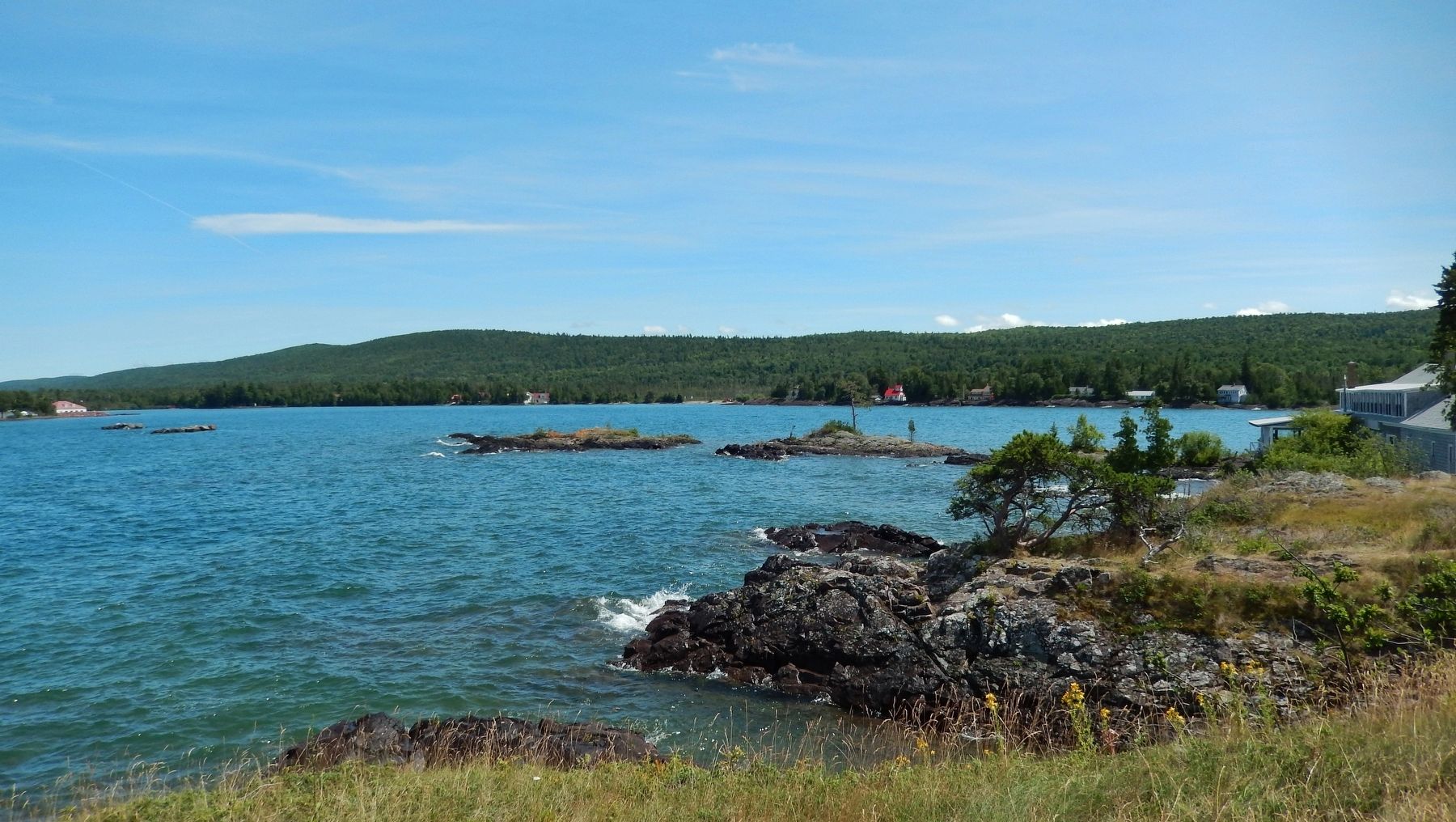
The U.S. Army Corps of Engineers dug a 13½ ft. channel into the harbor in 1877 and marked it with cribbed rock. The rock cribbing, filled with rock blasted from nearby outcroppings and sunk on either side of the channel, is visible about midpoint across the entrance to the harbor. The channel is still in use today.
Range lights were also established in 1877 by the U.S. Lighthouse Service to guide boats safely through the channel. The rear light was displayed on a range lighthouse while the front light was on a tower on the shore.
Contemporary range lights on steel towers are now in use in the same positions.
Topics. This historical marker is listed in these topic lists: Industry & Commerce • Settlements & Settlers • Waterways & Vessels. A significant historical year for this entry is 1877.
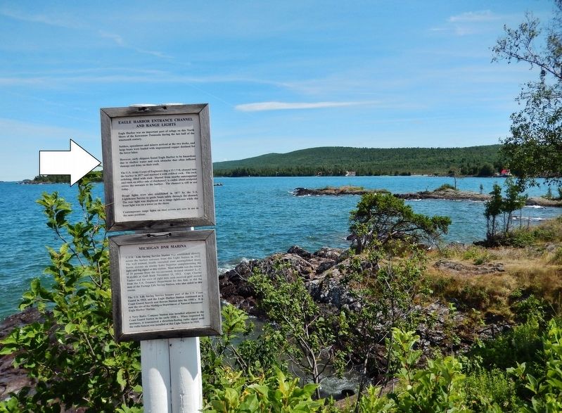
Location. 47° 27.575′ N, 88° 9.551′ W. Marker is in Eagle Harbor, Michigan, in Keweenaw County. Marker can be reached from Lighthouse Road north of East North Street, on the right when traveling north. Marker is located on the Eagle Harbor Lighthouse grounds, near the southeast corner of the lighthouse, overlooking the Eagle Harbor Entrance Channel. Touch for map. Marker is at or near this postal address: 670 Lighthouse Road, Mohawk MI 49950, United States of America. Touch for directions.
Other nearby markers. At least 8 other markers are within walking distance of this marker. Michigan DNR Marina (here, next to this marker); Wood-Stock Anchor (within shouting distance of this marker); Riveted Bell Buoy (within shouting distance of this marker); Fog Signal Building (within shouting distance of this marker); Eagle Harbor Lighthouse and Museums (within shouting distance of this marker); Iron-Stock Anchor (within shouting distance of this marker); Eagle Harbor (about 700 feet away, measured in a direct line); The Eagle Harbor General Store (approx. 0.2 miles away). Touch for a list and map of all markers in Eagle Harbor.
Also see . . .
1. Eagle Harbor Range Lighthouse. A lighthouse was established on the western side of Eagle Harbor in 1851, but as a rocky reef, with just eight-and-a-half feet of water over it, extended across the harbor’s entrance, only vessels of a certain draft could call there. In 1863, a committee, appointed by the Lighthouse Board, visited the Great
Lakes and suggested the establishment of new lights to aid the increase in shipping triggered by mining operations on the Keweenaw Peninsula. (Submitted on July 18, 2020, by Cosmos Mariner of Cape Canaveral, Florida.)
2. Eagle Harbor Range Lighthouse. (This link presents photos of the original Eagle Harbor rear range lighthouse and front range light.) (Submitted on July 18, 2020, by Cosmos Mariner of Cape Canaveral, Florida.)
Credits. This page was last revised on July 18, 2020. It was originally submitted on July 18, 2020, by Cosmos Mariner of Cape Canaveral, Florida. This page has been viewed 173 times since then and 7 times this year. Photos: 1, 2, 3. submitted on July 18, 2020, by Cosmos Mariner of Cape Canaveral, Florida.


