Near Red Mountain in Kern County, California — The American West (Pacific Coastal)
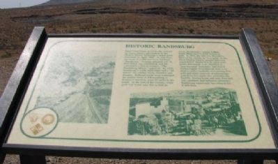
Historic Randsburg
Photographed by Denise Boose, September 6, 2011
1. Historic Randsburg Marker
this page online
Topics. This historical marker is listed in these topic lists: Natural Resources • Notable Places. A significant historical month for this entry is April 1895.
Location. This marker has been replaced by another marker nearby. It was located near 35° 21.051′ N, 117° 37.904′ W. Marker was near Red Mountain, California, in Kern County. It was on Red Mountain Road 0.8 miles west of U.S. 395, on the left when traveling west. Located at the end of an un-marked dirt road, at the top of a hill. Touch for map. Marker was in this post office area: Randsburg CA 93554, United States of America. Touch for directions.

Regionally, this marker was in California’s San Joaquin Valley, specifically in the Central Valley, and in the Sierra Nevada. It was also on the American Pacific Coast. Globally, it was in North America, on the Ring of Fire, in the Pacific Rim, in the Western Hemisphere, in the Western World, and in the Anglosphere. Historically, it found itself in what was once New Spain and also Mexico’s Alta California.
Other nearby markers. At least 8 other markers are within 2 miles of this location, measured as the crow

2. Photo Displayed on Marker
Other markers no longer nearby. The Baltic Mine Project (was here, next to this marker but has been reported to have been replaced with another marker now near it); Red Mountain (was approx. 0.8 miles away but has been confirmed missing).
Photographed by Denise Boose, September 6, 2011
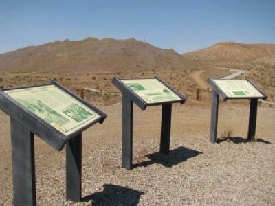
3. Historic Randsburg Marker
This is the first marker seen on the left.
Photographed by Denise Boose, September 6, 2011
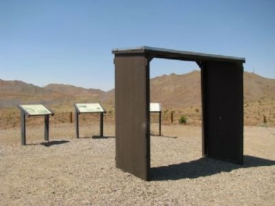
4. Historic Randsburg Marker
Photographed by Craig Baker, June 27, 2020
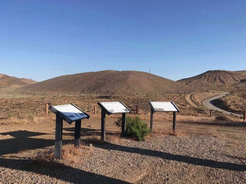
5. New Markers
Three new markers have replaced the original markers. See: Other Nearby Markers.
Credits. This page was last revised on February 8, 2026. It was originally submitted on March 24, 2012, by Denise Boose of Tehachapi, California. This page has been viewed 1,437 times since then and 29 times this year. Last updated on July 18, 2020, by Craig Baker of Sylmar, California. Photos: 1, 2, 3, 4. submitted on March 24, 2012, by Denise Boose of Tehachapi, California. 5. submitted on July 18, 2020, by Craig Baker of Sylmar, California. • J. Makali Bruton was the editor who published this page.
