Conesville in Schoharie County, New York — The American Northeast (Mid-Atlantic)
Schoharie County
Right in the Heart of New York State
— Town of Conesville —
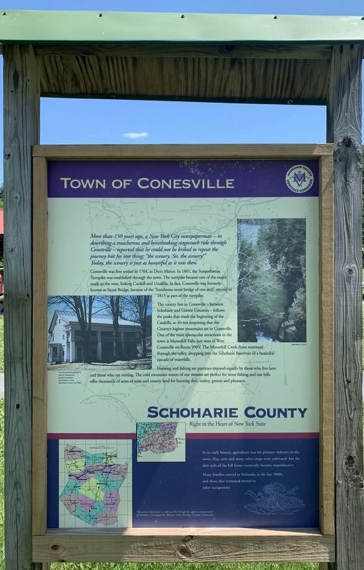
More than 150 years ago, a New York City newspaperman – in describing a treacherous and breathtaking stagecoach ride through Conesville - reported that he could not be bribed to repeat the journey but for one thing: "the scenery, Sir, the scenery!" Today, the scenery is just as beautiful as it was then.
Conesville was first settled in 1764, as Dies's Manor. In 1801, the Susquehanna Turnpike was established through the town. The turhpike became one of the major roads to the west, linking Catskill and Unadilla. In fact, Conesville was formerly known as Stone Bridge, because of the "handsome stone bridge of one arch” crected in 1815 as part of the turnpike.
The county line in Conesville- between Schoharie and Greene Counties - follows the peaks that mark the beginning of the Catskills, so it's not surprising that the County's highest mountains are in Conesville. One of the most spectacular attractíions in the town is Manorkill Falls, just west of West Conesville on Route 990V. The Manorkill Creek flows westward through the valley, dropping into the Schoharie Reservoir in a beautiful cascade of waterfalls.
Hunting and fishing are pastimes enjoyed equally by those who live here and those who are visiting. The cold mountain waters of our streams are perfect for trout fishing and our hills offer thousands of acres of state and county land for hunting deer, turkey, grouse and pheasant.
inset:
In its early history, agriculture was the primary industry in the town. Hay, corn and many other crops were cultivated, but the thin soils of the hill farms eventually became unproductive.
Many families moved to Nebraska in the late 1800s, and those that remained turned to other occupations.
Right Photo: Manorkill Falls
Left Photo: Richtmyer Tavern is one of Schoharie County's oldest buildings. It was originally built in 1789.
Erected by Schoharie County, Mohawk Valley Heritage Corridor Commission.
Topics. This historical marker is listed in this topic list: Settlements & Settlers. A significant historical year for this entry is 1764.
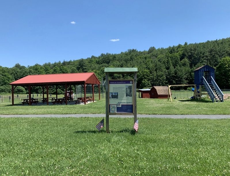
Location. 42° 23.119′ N, 74° 22.712′ W. Marker is in Conesville, New York, in Schoharie County. Marker is on New York State Route 990V, 0.2 miles west of Bearkill Road (County Route 18), on the right when traveling east. Marker is at the town park. Touch for map. Marker is in this post office area: Gilboa NY 12076, United States of America. Touch for directions.
Other nearby markers. At least 8 other markers are within 6 miles of this marker, measured as the crow flies. Town of Conesville War Memorial (about 300 feet away, measured in a direct line); Stone Bridge (approx. 0.2 miles away); a different marker also named Schoharie County (approx. 2.7 miles away); Gilboa Settlement (approx. 3½ miles away); a different marker also named Schoharie County (approx. 3.6 miles away); The Gilboa Fossils (approx. 3.6 miles away); Blenheim-Gilboa Bluebird Trail (approx. 5.4 miles away); The Laraway Inn (approx. 5½ miles away). Touch for a list and map of all markers in Conesville.
Credits. This page was last revised on July 15, 2022. It was originally submitted on July 19, 2020, by Steve Stoessel of Niskayuna, New York. This page has been viewed 227 times since then and 17 times this year. Photos: 1, 2. submitted on July 19, 2020, by Steve Stoessel of Niskayuna, New York. • Bill Pfingsten was the editor who published this page.

