Mackinac Island in Mackinac County, Michigan — The American Midwest (Great Lakes)
Limestone Breccia
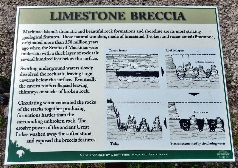
Swirling underground waters slowly dissolved the rock salt, leaving large caverns below the surface. Eventually the cavern roofs collapsed leaving chimneys or stacks of broken rock.
Circulating water cemented the rocks of the stacks together producing formations harder than the surrounding unbroken rock. The erosive power of the ancient Great Lakes washed away the softer stone and exposed the breccia features.
(photo captions)
• Cavern forms
• Roof collapses
• Stacks recemented by circulating water
• Today
Made possible by a gift from Mackinac Associates
Topics. This historical marker is listed in this topic list: Natural Features.
Location. 45° 52.661′ N, 84° 38.713′ W. Marker is on Mackinac Island, Michigan, in Mackinac County. Marker is on Lake Shore Drive (State Highway 185) north of British Landing Road, on the left when traveling north. Marker is located in a pull-out on the west side of the highway, overlooking the Straits of Mackinac. Touch for map. Marker is in this post office area: Mackinac Island MI 49757, United States of America. Touch for directions.
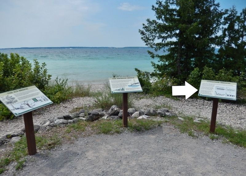
Other nearby markers. At least 8 other markers are within 2 miles of this marker, measured as the crow flies. The Mackinac Bridge (here, next to this marker); The Ice Bridge (a few steps from this marker); British Landing (within shouting distance of this marker); Sugar Loaf (approx. 1.7 miles away); Post Cemetery (approx. 1.8 miles away); Devil's Kitchen (approx. 1.8 miles away); Home Of The Ancestors (approx. 1.9 miles away); Skull Cave (approx. 1.9 miles away). Touch for a list and map of all markers in Mackinac Island.
Credits. This page was last revised on July 19, 2020. It was originally submitted on July 19, 2020, by Cosmos Mariner of Cape Canaveral, Florida. This page has been viewed 218 times since then and 18 times this year. Photos: 1, 2. submitted on July 19, 2020, by Cosmos Mariner of Cape Canaveral, Florida.

