
Holladay Cottonwood in Brighton in Salt Lake County, Utah — The American Mountains (Southwest)
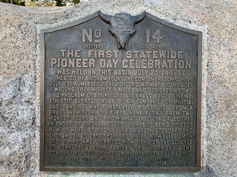
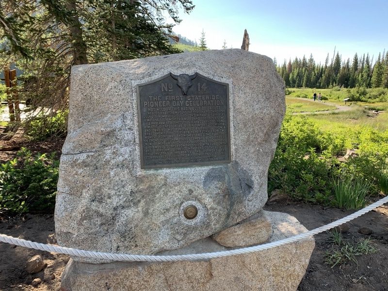
The First Statewide Pioneer Day Celebration
Was held in this Basin July 23-24, 1857
Photographed by Tyler Thorsted
1. The First Statewide Pioneer Day Celebration Marker
Headed by Brigham Young, the company reaching here July 23d numbered 2,587 persons, with 464 carriages & wagons, 1,028 horses & mules, and 332 oxen & cows.
A program of addresses, six brass bands, singing, athletic events, drills by six companies of militia, and dancing, was punctuated by salutes from a brass howitzer. U. S. flags were flown from two highest peaks and two highest trees, the flag tree in front of Brigham Young's campsite being 70 feet N. W. of here. At noon July 24, Judson Stoddard and A. O. Smoot, 20 days from the States, with Elias Smith and O. P. Rockwell, arrived with news of the advance of Johnston's army against the "Mormons". The company returned in orderly formation on July 25th.
Erected 1932 by Utah Pioneer Trails and Landmarks Association and Cottonwood Stake, Church of Jesus Christ of Latter-day Saints. (Marker Number 14.)
Topics and series. This historical marker is listed in these topic lists: Patriots & Patriotism • Religion & Religious Structures • Settlements & Settlers. In addition, it is included in the Utah Pioneer Trails and Landmarks Association series list. A significant historical year for this entry is 1857.
Location. 40° 36.215′ N,
this page online

Regionally, this marker is in the Wasatch Front and in Greater Salt Lake. It is also in the American Mountain West and on the Colorado Plateau. Globally, it is in North America, the Rocky Mountains, the Western Hemisphere, the Western World, and the Anglosphere. Historically, it finds itself in what was once New Spain and also Mexico’s Alta California.
Other nearby markers. At least 8 other markers are within 6 miles of this marker, measured as the crow flies: William Stuart Brighton (within shouting distance of this marker); Historic Bay City Tunnel (approx. 2.6 miles away); Silver Fork (approx. 2.7 miles away); St. Mary's of the Assumption Catholic Church and School (approx. 5.3 miles away); St. Mary's Catholic Church (approx. 5.3 miles away); Park City Community Church (approx.
Photographed by Tyler Thorsted
2. The First Statewide Pioneer Day Celebration Marker
Credits. This page was last revised on February 16, 2023. It was originally submitted on July 19, 2020, by Tyler Thorsted of Orem, Utah. This page has been viewed 1,383 times since then and 68 times this year. Photos: 1, 2. submitted on July 19, 2020, by Tyler Thorsted of Orem, Utah. • J. Makali Bruton was the editor who published this page.
