Shell in Big Horn County, Wyoming — The American West (Mountains)
Beef Trail
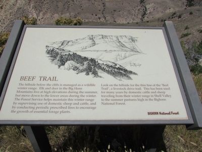
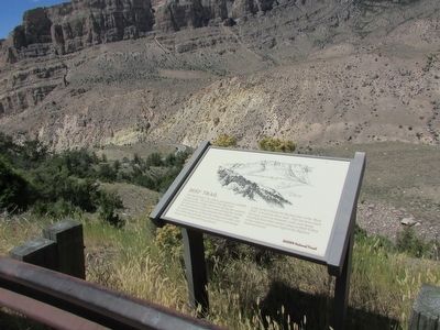
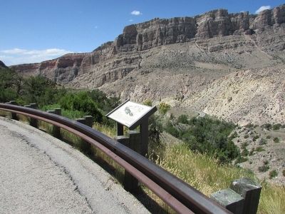
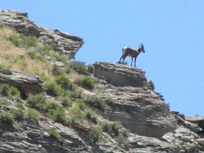
The hillside below the cliffs is managed as a wildlife winter range. Elk and deer in the Big Horn Mountains live at high elevations during the summer, but move down to the lower areas during the winter. The Forest Service helps maintain this winter range by supervising use of domestic sheep and cattle, and by conducting periodic prescribed fires to encourage the growth of essential forage plants.
Look on the hillside for the thin line of the “Beef Trail”, a livestock drive trail. This has been used for many years by domestic cattle and sheep traveling from their winter range in Shell Valley to the summer pastures high in the Bighorn National Forest.
Erected by Bighorn National Forest.
Topics. This historical marker is listed in this topic list: Animals.
Location. 44° 34.816′ N, 107° 40.422′ W. Marker is in Shell, Wyoming, in Big Horn County. Marker is on U.S. 14, on the right when traveling west. Marker is located in Bighorn National Forest. Touch for map. Marker is in this post office area: Shell WY 82441, United States of America. Touch for directions.
Other nearby markers. At least 8 other markers are within 3 miles of this marker, measured as the crow flies. Copman's Tomb (here, next to this marker); Bighorn Basin – Its History (approx. 1.1 miles away); Wildfire! (approx. 1˝ miles away); Carving a Course (approx. 2.9 miles away); Lifeblood of the West (approx. 2.9 miles away); Oasis in the Desert (approx. 2.9 miles away); Hummingbirds (approx. 2.9 miles away); Shaping a Canyon (approx. 2.9 miles away). Touch for a list and map of all markers in Shell.
More about this marker. A picture of the landscape with the beef trail indicated appears at the top of the marker.
Credits. This page was last revised on July 23, 2020. It was originally submitted on September 4, 2015, by Bill Coughlin of Woodland Park, New Jersey. This page has been viewed 607 times since then and 43 times this year. Last updated on July 20, 2020, by Connor Olson of Kewaskum, Wisconsin. Photos: 1, 2, 3, 4. submitted on September 4, 2015, by Bill Coughlin of Woodland Park, New Jersey. • Andrew Ruppenstein was the editor who published this page.


