Near Lake George in Park County, Colorado — The American Mountains (Southwest)
Turning Gold Fields into Fields of Green
Inscription.
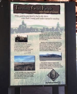
When gold became hard to find in the 1860s, some Park County gold-seekers turned to ranching.
They quickly learned that irrigation was essential, and that water could turn Park County fields into rich meadows of native hay. By 1861, the rights to use water were being claimed and purchased for less than $100. Today these rights are worth millions.
Ranchers often conducted side businesses to stay in business, operating saw mills, stores, stage stops and other services. Basic homestead claims were not enough to support a successful cattle operation in South Park. Ranches began to consolidate small holdings into the 1900s, until some exceeded over 100,000 acres in size.
Some historic ranches are listed on the National Register of Historic Places; some are managed as State Wildlife Areas and others have recently been purchased by Colorado Open Lands and the Nature Conservancy.
In the mid-1800s, rich, irrigated hay fields flourished throughout South Park. Today, most water rights belong to Front Range cities and little hay can be grown with the remaining water resources.
"It is not necessarily those lands, which are the most fertile or most favored in climate that seem to me the happiest, but those in which a long struggle or adaptation between man and his environment has brought out the best qualities of both."
— T.S. Eliot from After Strange Gods
Caption:
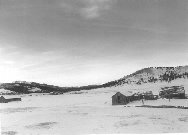
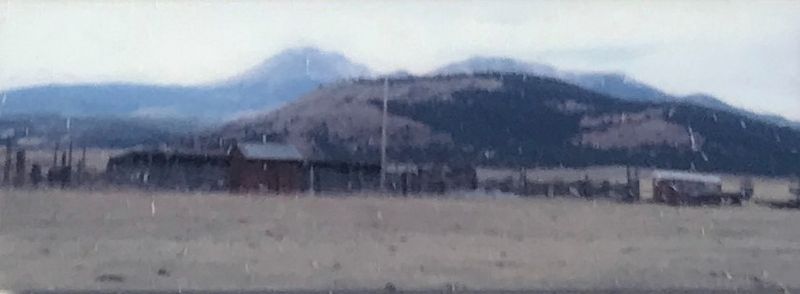
Middle right: The Salt Works Ranch
Erected by National Forest Service.
Topics. This historical marker is listed in these topic lists: Agriculture • Horticulture & Forestry • Settlements & Settlers. A significant historical year for this entry is 1861.
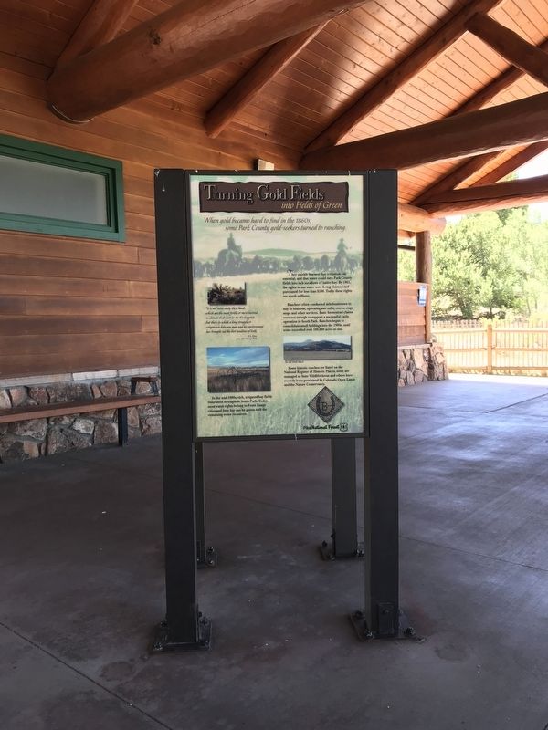
Location. 39° 2.27′ N, 105° 31.546′ W. Marker is near Lake George, Colorado, in Park County. Marker can be reached from U.S. 24. Marker is located at Wilkerson Pass Visitor Center. Touch for map. Marker is in this post office area: Lake George CO 80827, United States of America. Touch for directions.
Other nearby markers. At least 8 other markers are within walking distance of this marker. Enough Water for Everyone? (here, next to this marker); Fire Nature's Own Cleanser (here, next to this marker); Digging In (here, next to this marker); Bayou Salado "Salt Marsh" (a few steps from this marker); Footpaths to Highways (a few steps from this marker); Human Lives & Landscapes Inextricably Intertwined (a few steps from this marker); Pikes Peak and National Forests (about 300 feet away, measured in a direct line); The Blue Sky People (about 300 feet away). Touch for a list and map of all markers in Lake George.
Also see . . .
1. Asset Detail | Trout Creek--Annex--Settele Ranch (PDF)
. NPGallery Digital Asset Management System website entry (Submitted on July 20, 2020, by Duane and Tracy Marsteller of Murfreesboro, Tennessee.)
2. Asset Detail | Wahl Ranch (PDF). National Register of Historic Places registration and accompanying photograps. (Submitted on July 20, 2020, by Duane and Tracy Marsteller of Murfreesboro, Tennessee.)
3. Asset Detail | Buckley Ranch. National Register of Historic Places registration and accompanying photographs. (Submitted on July 20, 2020, by Duane and Tracy Marsteller of Murfreesboro, Tennessee.)
4. Asset Detail | EM Ranch (PDF). National Register of Historic Places registration and accompanying photographs. (Submitted on July 20, 2020, by Duane and Tracy Marsteller of Murfreesboro, Tennessee.)

via NPS, unknown
4. Salt Works Ranch
National Register of Historic Places Digital Archive on NPGallery website entry
Click for more information.
Click for more information.
Credits. This page was last revised on April 15, 2022. It was originally submitted on July 20, 2020, by Duane and Tracy Marsteller of Murfreesboro, Tennessee. This page has been viewed 107 times since then and 10 times this year. Photos: 1, 2, 3. submitted on July 20, 2020, by Duane and Tracy Marsteller of Murfreesboro, Tennessee. 4. submitted on April 15, 2022, by Larry Gertner of New York, New York. • Andrew Ruppenstein was the editor who published this page.


